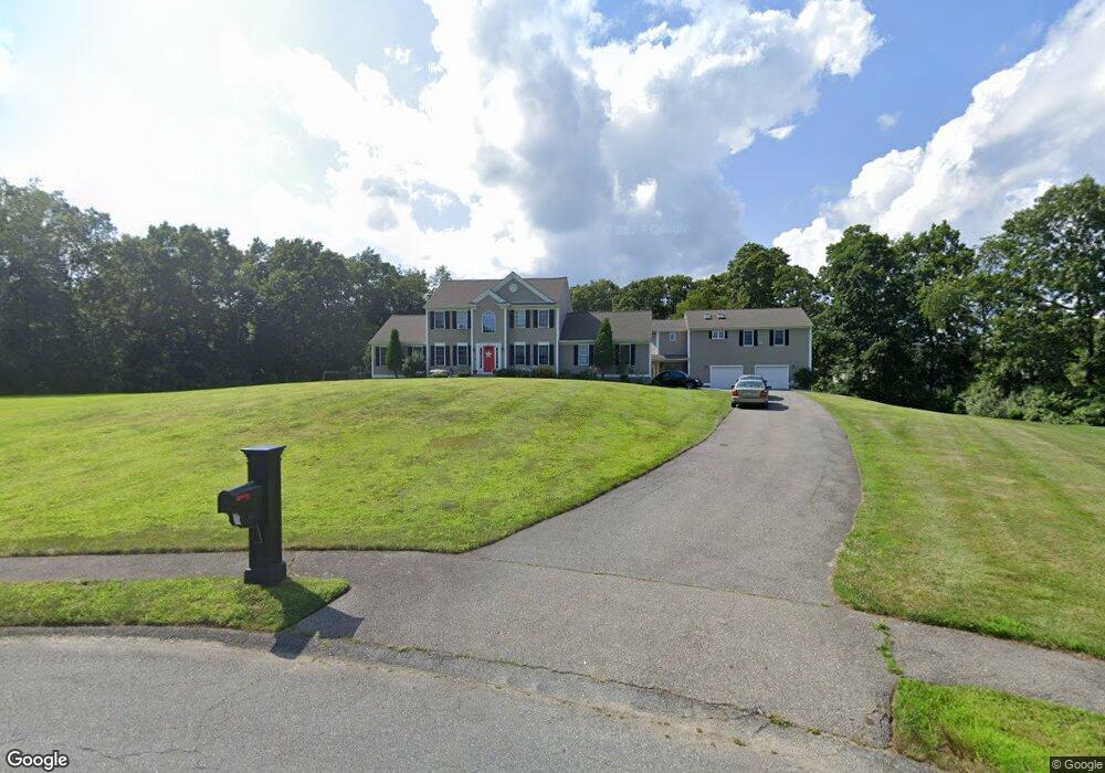
66 Lighthouse Ln Westport, MA 02790
North Westport NeighborhoodEstimated Value: $853,000 - $1,303,000
3
Beds
--
Bath
3,577
Sq Ft
$301/Sq Ft
Est. Value
About This Home
This home is located at 66 Lighthouse Ln, Westport, MA 02790 and is currently estimated at $1,075,185, approximately $300 per square foot. 66 Lighthouse Ln is a home located in Bristol County with nearby schools including Alice A. Macomber Primary School, Westport Elementary School, and Westport Middle-High School.
Ownership History
Date
Name
Owned For
Owner Type
Purchase Details
Closed on
Mar 2, 2005
Sold by
Long Built Homes Inc
Bought by
Lima Gregory J and Lima Jennifer A
Current Estimated Value
Home Financials for this Owner
Home Financials are based on the most recent Mortgage that was taken out on this home.
Original Mortgage
$381,000
Interest Rate
5.66%
Mortgage Type
Purchase Money Mortgage
Create a Home Valuation Report for This Property
The Home Valuation Report is an in-depth analysis detailing your home's value as well as a comparison with similar homes in the area
Home Values in the Area
Average Home Value in this Area
Purchase History
| Date | Buyer | Sale Price | Title Company |
|---|---|---|---|
| Lima Gregory J | $506,050 | -- |
Source: Public Records
Mortgage History
| Date | Status | Borrower | Loan Amount |
|---|---|---|---|
| Open | Lima Gregory J | $397,500 | |
| Closed | Lima Gregory J | $42,500 | |
| Closed | Lima Gregory J | $381,000 |
Source: Public Records
Tax History Compared to Growth
Tax History
| Year | Tax Paid | Tax Assessment Tax Assessment Total Assessment is a certain percentage of the fair market value that is determined by local assessors to be the total taxable value of land and additions on the property. | Land | Improvement |
|---|---|---|---|---|
| 2025 | $7,694 | $1,032,700 | $211,100 | $821,600 |
| 2024 | $7,027 | $909,100 | $195,600 | $713,500 |
| 2023 | $6,812 | $834,800 | $186,300 | $648,500 |
| 2022 | $5,598 | $660,200 | $186,300 | $473,900 |
| 2021 | $5,117 | $593,600 | $169,500 | $424,100 |
| 2020 | $4,947 | $586,800 | $162,700 | $424,100 |
| 2019 | $4,817 | $582,500 | $162,700 | $419,800 |
| 2018 | $4,768 | $583,600 | $130,500 | $453,100 |
| 2017 | $4,690 | $588,400 | $133,000 | $455,400 |
| 2016 | $4,323 | $546,500 | $138,000 | $408,500 |
| 2015 | $4,270 | $538,500 | $140,500 | $398,000 |
Source: Public Records
Map
Nearby Homes
- 47 Devol Ave
- 51 Newton St
- 33 Moniz Dr
- 0 Tickle Rd Unit 73453134
- 218 American Legion Hwy
- 219 Tickle Rd
- 771 Sanford Rd
- 40 Robert St
- 100 Cory's Ln
- 100 Corys Ln
- 6 Angel Ct
- 75 Montgomery St
- 47 Robert St
- 14 Glendale Ave
- 8 Campion Ave
- 92 Benoit St
- 1125 Stafford Rd Unit 5
- 100 D Dr
- 0 Crandall Rd
- 71 Blackbird St
- 27 Devol Ave
- 65 Lighthouse Ln
- 29 Devol Ave
- 62 Lighthouse Ln
- 61 Lighthouse Ln
- 25 Devol Ave
- 31 Devol Ave Unit Lot 16
- 28 Devol Ave
- 26 Devol Ave Unit Lot 35
- 23 Devol Ave
- 24 Devol Ave Unit Lot 36
- 57 Lighthouse Ln
- 58 Lighthouse Ln
- 30 Devol Ave
- 33 Devol Ave
- 22 Devol Ave
- 21 Devol Ave
- 20 Devol Ave
- 6 Spinnaker Way
- 1 Spinnaker Way