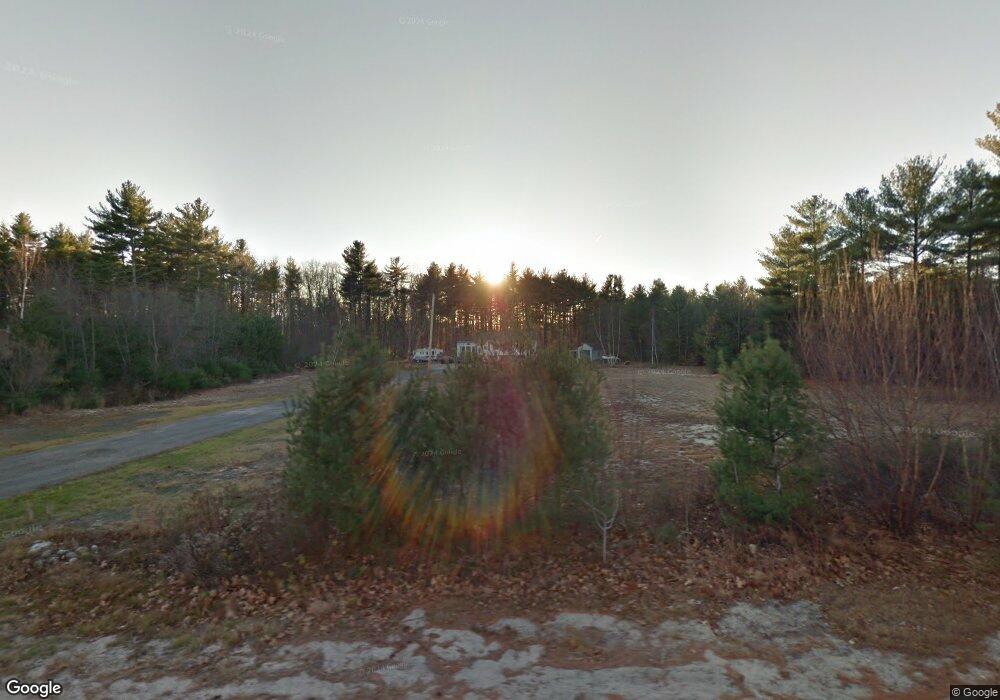
66 Line Rd Buxton, ME 04093
Estimated Value: $399,000 - $524,000
3
Beds
2
Baths
1,096
Sq Ft
$409/Sq Ft
Est. Value
About This Home
This home is located at 66 Line Rd, Buxton, ME 04093 and is currently estimated at $448,434, approximately $409 per square foot. 66 Line Rd is a home located in York County with nearby schools including Bonny Eagle High School.
Ownership History
Date
Name
Owned For
Owner Type
Purchase Details
Closed on
Feb 3, 2011
Sold by
Charette Norma J
Bought by
Charette Walden
Current Estimated Value
Create a Home Valuation Report for This Property
The Home Valuation Report is an in-depth analysis detailing your home's value as well as a comparison with similar homes in the area
Home Values in the Area
Average Home Value in this Area
Purchase History
| Date | Buyer | Sale Price | Title Company |
|---|---|---|---|
| Charette Walden | -- | -- |
Source: Public Records
Tax History
| Year | Tax Paid | Tax Assessment Tax Assessment Total Assessment is a certain percentage of the fair market value that is determined by local assessors to be the total taxable value of land and additions on the property. | Land | Improvement |
|---|---|---|---|---|
| 2025 | $4,179 | $366,600 | $105,300 | $261,300 |
| 2024 | $3,749 | $341,100 | $105,300 | $235,800 |
| 2023 | $3,558 | $341,100 | $105,300 | $235,800 |
| 2022 | $3,417 | $333,700 | $105,300 | $228,400 |
| 2021 | $2,667 | $208,663 | $65,200 | $143,463 |
| 2020 | $2,678 | $208,663 | $65,200 | $143,463 |
| 2019 | $2,767 | $186,700 | $65,200 | $121,500 |
| 2018 | $12,876 | $186,700 | $65,200 | $121,500 |
| 2017 | $2,539 | $186,700 | $65,200 | $121,500 |
| 2016 | $11,753 | $186,700 | $65,200 | $121,500 |
| 2015 | $2,418 | $186,700 | $65,200 | $121,500 |
| 2014 | $2,371 | $186,700 | $65,200 | $121,500 |
| 2013 | $2,334 | $186,700 | $65,200 | $121,500 |
Source: Public Records
Map
Nearby Homes
- 866 Parker Farm Lot B Rd
- 866 Parker Farm Lot A Rd
- 866 Parker Farm Rd Unit A
- 866 Parker Farm Rd Unit B
- 16 Daniel St
- 42 Brandons Way
- 4 Musket Dr
- 30 Joan Dixon Way
- 35 Rust Rd
- 116 Dingley Spring Rd
- Lot 2 Commerce Way
- 4 Blueberry Ln Unit 4
- 63 Ossipee Trail E
- 66 Ossipee Trail East Trail E
- 27 Ossipee Trail E Unit 1
- 555 Fort Hill Rd
- 4 Cortland Place Unit 3
- 1 Cortland Place Unit 7
- 207 Dunnell Rd
- 82 Carll Rd
Your Personal Tour Guide
Ask me questions while you tour the home.