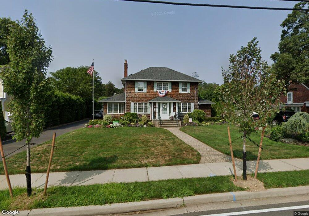
66 Main St Farmingdale, NY 11735
Estimated Value: $916,928 - $982,000
4
Beds
2
Baths
2,388
Sq Ft
$398/Sq Ft
Est. Value
About This Home
This home is located at 66 Main St, Farmingdale, NY 11735 and is currently estimated at $949,464, approximately $397 per square foot. 66 Main St is a home located in Nassau County with nearby schools including Northside Elementary School, Weldon E. Howitt Middle School, and Farmingdale Senior High School.
Ownership History
Date
Name
Owned For
Owner Type
Purchase Details
Closed on
Aug 12, 2014
Sold by
Macchio Frank and Macchio Mary
Bought by
Ingram Allison and Ingram Richard
Current Estimated Value
Home Financials for this Owner
Home Financials are based on the most recent Mortgage that was taken out on this home.
Original Mortgage
$481,500
Outstanding Balance
$366,484
Interest Rate
4.14%
Mortgage Type
New Conventional
Estimated Equity
$582,980
Create a Home Valuation Report for This Property
The Home Valuation Report is an in-depth analysis detailing your home's value as well as a comparison with similar homes in the area
Home Values in the Area
Average Home Value in this Area
Purchase History
| Date | Buyer | Sale Price | Title Company |
|---|---|---|---|
| Ingram Allison | $535,000 | First American Title | |
| Ingram Allison | $535,000 | First American Title | |
| Ingram Allison | $535,000 | First American Title | |
| Ingram Allison | $535,000 | First American Title |
Source: Public Records
Mortgage History
| Date | Status | Borrower | Loan Amount |
|---|---|---|---|
| Open | Ingram Allison | $481,500 | |
| Closed | Ingram Allison | $481,500 |
Source: Public Records
Tax History Compared to Growth
Tax History
| Year | Tax Paid | Tax Assessment Tax Assessment Total Assessment is a certain percentage of the fair market value that is determined by local assessors to be the total taxable value of land and additions on the property. | Land | Improvement |
|---|---|---|---|---|
| 2025 | $13,601 | $523 | $303 | $220 |
| 2024 | $3,312 | $568 | $329 | $239 |
| 2023 | $14,406 | $593 | $343 | $250 |
| 2022 | $14,406 | $593 | $343 | $250 |
| 2021 | $14,011 | $572 | $331 | $241 |
| 2020 | $11,932 | $721 | $600 | $121 |
| 2019 | $10,932 | $773 | $587 | $186 |
| 2018 | $11,022 | $824 | $0 | $0 |
| 2017 | $7,761 | $832 | $643 | $189 |
| 2016 | $10,562 | $832 | $611 | $221 |
| 2015 | $2,500 | $832 | $577 | $255 |
| 2014 | $2,500 | $832 | $577 | $255 |
| 2013 | $2,457 | $876 | $608 | $268 |
Source: Public Records
Map
Nearby Homes
- 25 Elizabeth St Unit 2E
- 25 Elizabeth St Unit 3H
- 18 Sullivan Rd
- 5 Columbia St
- 29 Manetto Rd
- 129 Elizabeth St
- 17 Yoakum St
- 65 Sullivan Rd
- 18 Ivy St Unit 1B
- 76 Balcom Rd
- 215 Conklin St
- 27 Dale Dr
- 591 Conklin St
- 19 Ivy St
- 32 Beechwood St
- 290 Eastern Pkwy
- 1 Jerome Dr
- 530 Melville Rd
- 159 Oakview Ave
- 17 Hill Rd