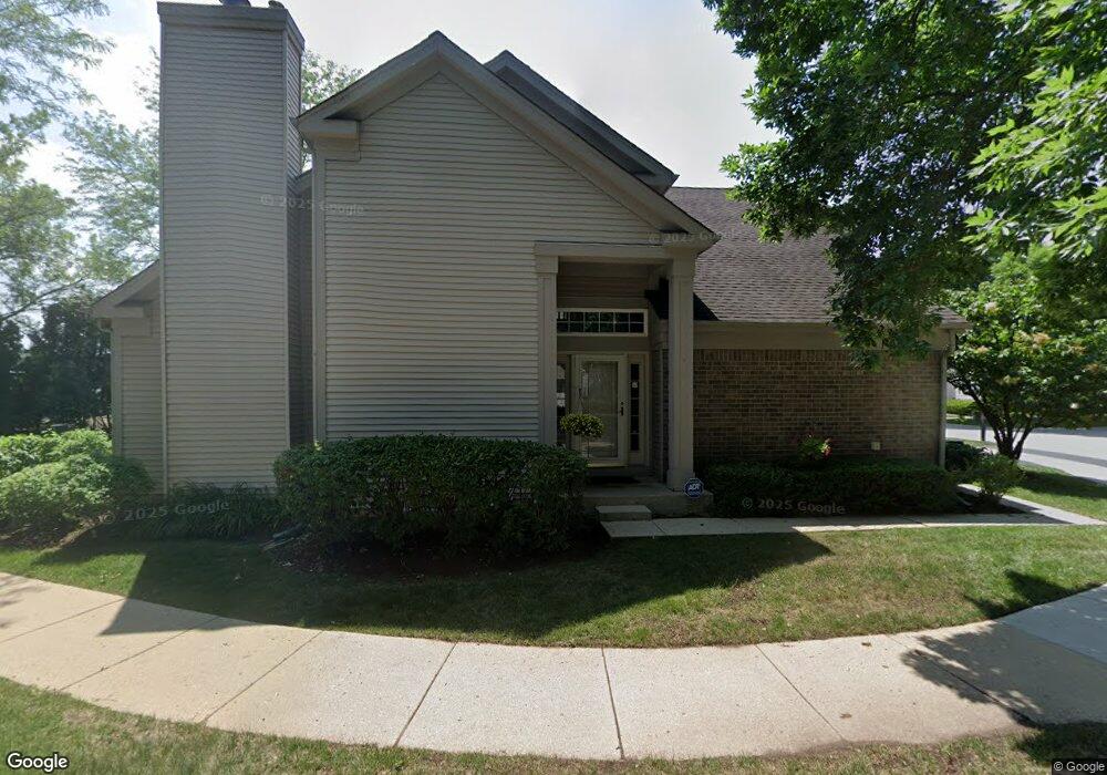
66 Manchester Dr Buffalo Grove, IL 60089
Estimated Value: $537,561 - $592,000
--
Bed
3
Baths
2,160
Sq Ft
$267/Sq Ft
Est. Value
About This Home
This home is located at 66 Manchester Dr, Buffalo Grove, IL 60089 and is currently estimated at $575,890, approximately $266 per square foot. 66 Manchester Dr is a home located in Lake County with nearby schools including Ivy Hall Elementary School, Twin Groves Middle School, and Adlai E Stevenson High School.
Ownership History
Date
Name
Owned For
Owner Type
Purchase Details
Closed on
Mar 22, 2011
Sold by
Rackow William N and Rackow Jill
Bought by
Rackow William N and Rackow Jill
Current Estimated Value
Purchase Details
Closed on
Jun 1, 1995
Sold by
Cole Taylor Bank
Bought by
Rackow William N and Rackow Jill
Home Financials for this Owner
Home Financials are based on the most recent Mortgage that was taken out on this home.
Original Mortgage
$75,000
Interest Rate
8.27%
Mortgage Type
Seller Take Back
Create a Home Valuation Report for This Property
The Home Valuation Report is an in-depth analysis detailing your home's value as well as a comparison with similar homes in the area
Home Values in the Area
Average Home Value in this Area
Purchase History
| Date | Buyer | Sale Price | Title Company |
|---|---|---|---|
| Rackow William N | -- | None Available | |
| Rackow William N | $267,000 | Chicago Title Insurance Co |
Source: Public Records
Mortgage History
| Date | Status | Borrower | Loan Amount |
|---|---|---|---|
| Closed | Rackow William N | $75,000 | |
| Closed | Rackow William N | $137,000 |
Source: Public Records
Tax History Compared to Growth
Tax History
| Year | Tax Paid | Tax Assessment Tax Assessment Total Assessment is a certain percentage of the fair market value that is determined by local assessors to be the total taxable value of land and additions on the property. | Land | Improvement |
|---|---|---|---|---|
| 2024 | $12,589 | $147,019 | $36,231 | $110,788 |
| 2023 | $12,842 | $138,724 | $34,187 | $104,537 |
| 2022 | $12,842 | $134,160 | $33,062 | $101,098 |
| 2021 | $12,350 | $132,714 | $32,706 | $100,008 |
| 2020 | $12,061 | $133,167 | $32,818 | $100,349 |
| 2019 | $11,900 | $132,676 | $32,697 | $99,979 |
| 2018 | $5,598 | $115,282 | $35,540 | $79,742 |
| 2017 | $9,678 | $112,591 | $34,710 | $77,881 |
| 2016 | $9,400 | $107,815 | $33,238 | $74,577 |
| 2015 | $9,112 | $100,828 | $31,084 | $69,744 |
| 2014 | $8,609 | $94,632 | $33,385 | $61,247 |
| 2012 | $8,457 | $94,822 | $33,452 | $61,370 |
Source: Public Records
Map
Nearby Homes
- 232 Manor Dr Unit 12C
- 25 Crestview Terrace
- 36 Crestview Terrace
- 610 Maple Dr
- 412 Chateau Dr
- 728 Old Checker Rd Unit C4
- 746 Old Checker Rd Unit E5
- 496 Raupp Blvd
- 630 Woodhollow Ln
- 690 Dunhill Dr
- 220 Osage Ln
- 1112 Auburn Ln
- 10 Old Oak Dr Unit 103
- 612 White Pine Rd
- 665 Thornwood Dr
- 588 Fairway View Dr Unit 2E
- 51 Old Oak Dr Unit 414
- 620 Twisted Oak Ln
- 586 Fairway View Dr Unit 1A
- 8 Oak Creek Dr Unit 1803
- 68 Manchester Dr
- 70 Manchester Dr
- 77 Manchester Dr
- 79 Manchester Dr
- 85 Manchester Dr
- 87 Manchester Dr
- 75 Manchester Dr
- 89 Manchester Dr
- 72 Manchester Dr
- 81 Manchester Dr
- 91 Manchester Dr
- 83 Manchester Dr
- 73 Manchester Dr
- 93 Manchester Dr
- 74 Manchester Dr
- 111 Manchester Dr
- 95 Manchester Dr
- 109 Manchester Dr
- 107 Manchester Dr
- 111 Circle Dr