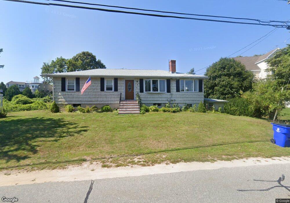
66 Mashnee Rd Bourne, MA 2532
Estimated Value: $683,000 - $750,000
4
Beds
2
Baths
1,640
Sq Ft
$438/Sq Ft
Est. Value
About This Home
This home is located at 66 Mashnee Rd, Bourne, MA 2532 and is currently estimated at $717,891, approximately $437 per square foot. 66 Mashnee Rd is a home located in Barnstable County with nearby schools including Bourne High School, St Margaret Regional School, and Cadence Academy Preschool - Bourne.
Ownership History
Date
Name
Owned For
Owner Type
Purchase Details
Closed on
Mar 26, 2004
Sold by
Fuller Grace H and Fuller John L
Bought by
Fuller Deborah L and Thompson Elaine
Current Estimated Value
Create a Home Valuation Report for This Property
The Home Valuation Report is an in-depth analysis detailing your home's value as well as a comparison with similar homes in the area
Purchase History
| Date | Buyer | Sale Price | Title Company |
|---|---|---|---|
| Fuller Deborah L | $10,000 | -- | |
| Fuller Deborah L | $10,000 | -- |
Source: Public Records
Mortgage History
| Date | Status | Borrower | Loan Amount |
|---|---|---|---|
| Open | Fuller Deborah L | $171,000 |
Source: Public Records
Tax History
| Year | Tax Paid | Tax Assessment Tax Assessment Total Assessment is a certain percentage of the fair market value that is determined by local assessors to be the total taxable value of land and additions on the property. | Land | Improvement |
|---|---|---|---|---|
| 2025 | $4,458 | $570,800 | $241,800 | $329,000 |
| 2024 | $4,359 | $543,500 | $230,300 | $313,200 |
| 2023 | $4,238 | $481,000 | $203,800 | $277,200 |
| 2022 | $4,040 | $400,400 | $180,400 | $220,000 |
| 2021 | $3,925 | $364,400 | $164,200 | $200,200 |
| 2020 | $3,803 | $354,100 | $162,600 | $191,500 |
| 2019 | $1,752 | $361,400 | $180,700 | $180,700 |
| 2018 | $3,596 | $341,200 | $172,100 | $169,100 |
| 2017 | $3,221 | $312,700 | $170,400 | $142,300 |
| 2016 | $2,977 | $293,000 | $153,400 | $139,600 |
| 2015 | $2,722 | $270,300 | $130,700 | $139,600 |
Source: Public Records
Map
Nearby Homes
- 35 Benedict Rd
- 60 Bourne Neck Dr
- 203 County Rd
- 5 Zoli Ln
- 13 Laurel Hill Ct
- 566 Shore Rd
- 40-A Lafayette Ave
- 46 Holt Rd Unit B
- 46 Holt Rd
- 5 Sea Knoll Ct
- 4 Van Bummel Rd
- 12 Turnberry Rd Unit 12
- 3 Fairway Dr Unit F
- 56 Rip Van Winkle Way
- 44 Cotuit Rd
- 16 Amberwood Ct
- 36B Starboard Dr Unit 36E
- 36B Starboard Dr Unit 36G
- 36B Starboard Dr Unit 36C
- 36B Starboard Dr Unit 36A
- 66 Mashnee Rd
- 62 Mashnee Rd
- 68 Mashnee Rd
- 3 Brendan Rd
- 1 Agawam Point Rd
- 1 Agawam Point Rd
- 3 Agawam Point Rd
- 6 Brendan Rd
- 6 Spindrift Ln
- 5 Agawam Point Rd
- 16 Spindrift Ln
- 4 Agawam Point Rd
- 5 Agawam Point Rd
- 2 Spindrift Ln
- 2 Spindrift Ln
- 18 Spindrift Ln
- 69 Mashnee Rd
- 18 Spindrift Ln
- 52 Mashnee Rd
- 20 Warren Rd
Your Personal Tour Guide
Ask me questions while you tour the home.