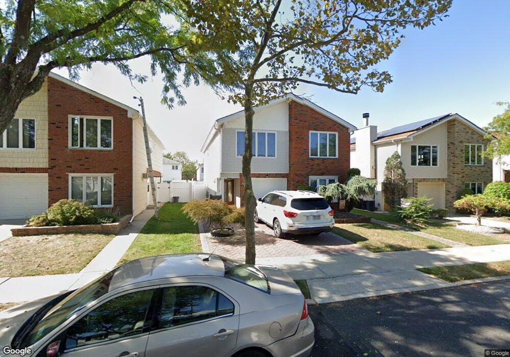
66 Mcarthur Ave Staten Island, NY 10312
Arden Heights NeighborhoodEstimated Value: $688,479 - $991,000
--
Bed
--
Bath
2,424
Sq Ft
$351/Sq Ft
Est. Value
About This Home
This home is located at 66 Mcarthur Ave, Staten Island, NY 10312 and is currently estimated at $851,870, approximately $351 per square foot. 66 Mcarthur Ave is a home located in Richmond County with nearby schools including P.S. 36 - J.C. Drumgoole, I.S. 075 Frank D. Paulo, and Tottenville High School.
Ownership History
Date
Name
Owned For
Owner Type
Purchase Details
Closed on
Jan 28, 2020
Sold by
Gregorio Thomas and Gregorio Adrienne J
Bought by
Cioffi Danielle M and Gregorio Thomas A
Current Estimated Value
Purchase Details
Closed on
Jun 30, 2016
Sold by
Gregorio Adrienne J
Bought by
Thomas Gregorio Adrienne J and Thomas Gregorio
Purchase Details
Closed on
Feb 19, 2016
Sold by
Gregorio Adrienne J and Griffo Andrew D
Bought by
Gregorio Adrienne J
Create a Home Valuation Report for This Property
The Home Valuation Report is an in-depth analysis detailing your home's value as well as a comparison with similar homes in the area
Home Values in the Area
Average Home Value in this Area
Purchase History
| Date | Buyer | Sale Price | Title Company |
|---|---|---|---|
| Cioffi Danielle M | -- | None Available | |
| Thomas Gregorio Adrienne J | -- | None Available | |
| Gregorio Adrienne J | -- | None Available |
Source: Public Records
Tax History Compared to Growth
Tax History
| Year | Tax Paid | Tax Assessment Tax Assessment Total Assessment is a certain percentage of the fair market value that is determined by local assessors to be the total taxable value of land and additions on the property. | Land | Improvement |
|---|---|---|---|---|
| 2025 | $7,996 | $40,380 | $7,333 | $33,047 |
| 2024 | $3,998 | $43,140 | $6,589 | $36,551 |
| 2023 | $7,492 | $38,831 | $5,872 | $32,959 |
| 2022 | $6,948 | $41,100 | $7,140 | $33,960 |
| 2021 | $6,909 | $37,740 | $7,140 | $30,600 |
| 2020 | $6,950 | $41,100 | $7,140 | $33,960 |
| 2019 | $6,940 | $39,180 | $7,140 | $32,040 |
| 2018 | $0 | $32,359 | $6,756 | $25,603 |
| 2016 | $5,757 | $28,800 | $7,140 | $21,660 |
| 2015 | $2,044 | $29,306 | $5,433 | $23,873 |
| 2014 | $2,044 | $27,648 | $5,507 | $22,141 |
Source: Public Records
Map
Nearby Homes
- 70 Mcarthur Ave
- 62 Mcarthur Ave
- 74 Mcarthur Ave
- 109 Forrestal Ave
- 115 Forrestal Ave
- 105 Forrestal Ave
- 80 Mcarthur Ave Unit S
- 80 Mcarthur Ave
- 50 Mcarthur Ave
- 119 Forrestal Ave
- 101 Forrestal Ave
- 71 Mcarthur Ave
- 123 Forrestal Ave
- 67 Mcarthur Ave
- 46 Mcarthur Ave
- 15 Van Allen Ave
- 63 Mcarthur Ave
- 97 Forrestal Ave
- 59 Mcarthur Ave
- 42 Mcarthur Ave