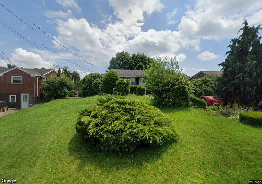
66 Michael Rd Cheswick, PA 15024
Estimated Value: $225,000 - $228,000
2
Beds
2
Baths
1,028
Sq Ft
$220/Sq Ft
Est. Value
About This Home
This home is located at 66 Michael Rd, Cheswick, PA 15024 and is currently estimated at $226,468, approximately $220 per square foot. 66 Michael Rd is a home located in Allegheny County with nearby schools including East Union Intrmd School, Curtisville Pri Center, and Deer Lakes Middle School.
Ownership History
Date
Name
Owned For
Owner Type
Purchase Details
Closed on
Apr 7, 2018
Sold by
Morrow Frederick John and Morrow Barbara Anne
Bought by
Morrow Rebecca Jeanne
Current Estimated Value
Purchase Details
Closed on
Dec 15, 2006
Sold by
Mills Edward D
Bought by
Morrow Frederick J
Home Financials for this Owner
Home Financials are based on the most recent Mortgage that was taken out on this home.
Original Mortgage
$80,000
Outstanding Balance
$47,936
Interest Rate
6.35%
Mortgage Type
New Conventional
Estimated Equity
$178,532
Create a Home Valuation Report for This Property
The Home Valuation Report is an in-depth analysis detailing your home's value as well as a comparison with similar homes in the area
Home Values in the Area
Average Home Value in this Area
Purchase History
| Date | Buyer | Sale Price | Title Company |
|---|---|---|---|
| Morrow Rebecca Jeanne | -- | None Available | |
| Morrow Frederick J | $100,000 | -- |
Source: Public Records
Mortgage History
| Date | Status | Borrower | Loan Amount |
|---|---|---|---|
| Open | Morrow Frederick J | $80,000 |
Source: Public Records
Tax History Compared to Growth
Tax History
| Year | Tax Paid | Tax Assessment Tax Assessment Total Assessment is a certain percentage of the fair market value that is determined by local assessors to be the total taxable value of land and additions on the property. | Land | Improvement |
|---|---|---|---|---|
| 2025 | $3,350 | $110,500 | $20,600 | $89,900 |
| 2024 | $3,350 | $110,500 | $20,600 | $89,900 |
| 2023 | $3,360 | $110,500 | $20,600 | $89,900 |
| 2022 | $3,360 | $110,500 | $20,600 | $89,900 |
| 2021 | $523 | $110,500 | $20,600 | $89,900 |
| 2020 | $3,279 | $110,500 | $20,600 | $89,900 |
| 2019 | $3,279 | $110,500 | $20,600 | $89,900 |
| 2018 | $523 | $110,500 | $20,600 | $89,900 |
| 2017 | $3,279 | $110,500 | $20,600 | $89,900 |
| 2016 | $523 | $110,500 | $20,600 | $89,900 |
| 2015 | $523 | $110,500 | $20,600 | $89,900 |
| 2014 | $3,168 | $110,500 | $20,600 | $89,900 |
Source: Public Records
Map
Nearby Homes
- 60 Greenleaf Dr
- 20 Oak St Unit 18
- 1318 Macarthur Dr
- 363 Mill Dam Rd
- 46 Simon Rd
- 2344 Saxonburg Blvd
- 34 Quigley Rd
- 1214 Sandstone Ct E
- 13 Deer Hollow Ln
- 462 Crawford Run Rd
- 0 Lot 10 Ashley Rd
- 348 Rich Hill Rd
- 1015 Rural Ridge Dr
- 529 Dana Dr
- 108 Cove Run Rd
- 89 Ford St
- 0 Snyder St
- 369 Lefever Hill Rd
- 270 Freedom Ln Unit BETSY ROSS
- The Hancock Plan at Rose Ridge