66 Monarch Ridge Rd Denison, TX 75020
Estimated Value: $1,197,710
--
Bed
--
Bath
5,126
Sq Ft
$234/Sq Ft
Est. Value
About This Home
This home is located at 66 Monarch Ridge Rd, Denison, TX 75020 and is currently estimated at $1,197,710, approximately $233 per square foot. 66 Monarch Ridge Rd is a home located in Grayson County with nearby schools including Mayes Elementary School, Scott Middle School, and Denison High School.
Ownership History
Date
Name
Owned For
Owner Type
Purchase Details
Closed on
Sep 20, 2004
Sold by
Brumbaugh Dean A and Brumbaugh Jean M
Bought by
Retz William A and Retz Julia I
Current Estimated Value
Home Financials for this Owner
Home Financials are based on the most recent Mortgage that was taken out on this home.
Original Mortgage
$153,600
Interest Rate
5.86%
Mortgage Type
Purchase Money Mortgage
Create a Home Valuation Report for This Property
The Home Valuation Report is an in-depth analysis detailing your home's value as well as a comparison with similar homes in the area
Home Values in the Area
Average Home Value in this Area
Purchase History
| Date | Buyer | Sale Price | Title Company |
|---|---|---|---|
| Retz William A | -- | Grayson Country Title Co |
Source: Public Records
Mortgage History
| Date | Status | Borrower | Loan Amount |
|---|---|---|---|
| Closed | Retz William A | $153,600 |
Source: Public Records
Tax History Compared to Growth
Tax History
| Year | Tax Paid | Tax Assessment Tax Assessment Total Assessment is a certain percentage of the fair market value that is determined by local assessors to be the total taxable value of land and additions on the property. | Land | Improvement |
|---|---|---|---|---|
| 2025 | $6,600 | $1,265,448 | -- | -- |
| 2024 | $18,536 | $1,150,407 | $0 | $0 |
| 2023 | $6,386 | $1,045,824 | $0 | $0 |
| 2022 | $16,390 | $950,749 | $0 | $0 |
| 2021 | $16,163 | $864,317 | $208,363 | $655,954 |
| 2020 | $18,877 | $950,627 | $168,242 | $782,385 |
| 2019 | $19,600 | $925,273 | $168,242 | $757,031 |
| 2018 | $19,440 | $912,362 | $168,242 | $744,120 |
| 2017 | $17,784 | $836,607 | $132,101 | $704,506 |
| 2016 | $16,112 | $747,909 | $132,101 | $615,808 |
| 2015 | $10,809 | $717,018 | $118,377 | $598,641 |
| 2014 | $10,954 | $729,285 | $129,944 | $599,341 |
Source: Public Records
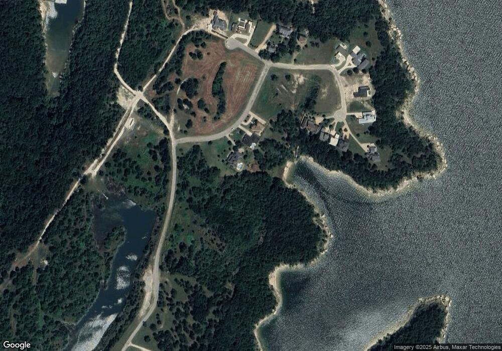
Map
Nearby Homes
- 37 Hanna Cove Dr
- Lot 80 Rocky Point E Bois d Arc Rd
- 82 Sweet Gum St
- Lot 4 Mariner Cay ES Hanna Dr
- Lot 5 Mariner Cay ES Hanna Dr
- 2 Harbor View Cir
- 920 Hanna Dr
- Lot 1A-1 Thompson Heights Dr
- Lot 2A-1 Thompson Heights Dr
- Lot 1A-2 Thompson Heights Dr
- 5.63 acres Thompson Heights Dr
- 190 Neva Ln
- 594 Lukehaven Dr
- 000 Eisenhower Rd
- 59 Air Force Dr
- 43 Lou Mode Ln
- 326 Glomin Ln
- 193 Eisenhower Rd
- Lot 2 Lakeview Dr
- 221 Clayton Dr
- 76 Monarch Ridge Rd
- Lot 14 Monarch Ridge Dr
- 0000 Monarch Ridge Dr
- 166 Monarch Dr
- 170 Monarch Dr
- Lot 15 Monarch Dr
- Lot 16 Monarch Dr
- 171 Monarch Dr
- 181 181 Monarch Dr
- 181 Monarch Ridge Dr
- 181 Monarch Dr
- 142 Monarch Dr
- 3 Monarch Dr
- 142 Monarch Dr
- 110 Mark Dr
- 14 Monarch Dr
- 13 Monarch Dr
- 5 Monarch Dr
- 161 Monarch Dr
- 17 Monarch Dr