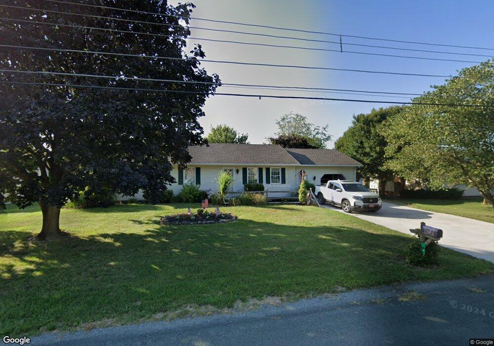
66 Mummert Dr Unit 21 Littlestown, PA 17340
Estimated Value: $248,263 - $308,000
3
Beds
2
Baths
1,288
Sq Ft
$215/Sq Ft
Est. Value
About This Home
This home is located at 66 Mummert Dr Unit 21, Littlestown, PA 17340 and is currently estimated at $276,316, approximately $214 per square foot. 66 Mummert Dr Unit 21 is a home located in Adams County with nearby schools including Rolling Acres El School, Maple Avenue Middle School, and Littlestown Senior High School.
Ownership History
Date
Name
Owned For
Owner Type
Purchase Details
Closed on
Sep 30, 1985
Bought by
Mehle James R and Mehle Patricia E
Current Estimated Value
Create a Home Valuation Report for This Property
The Home Valuation Report is an in-depth analysis detailing your home's value as well as a comparison with similar homes in the area
Home Values in the Area
Average Home Value in this Area
Purchase History
| Date | Buyer | Sale Price | Title Company |
|---|---|---|---|
| Mehle James R | $62,000 | -- |
Source: Public Records
Tax History
| Year | Tax Paid | Tax Assessment Tax Assessment Total Assessment is a certain percentage of the fair market value that is determined by local assessors to be the total taxable value of land and additions on the property. | Land | Improvement |
|---|---|---|---|---|
| 2025 | $2,731 | $144,300 | $28,900 | $115,400 |
| 2024 | $2,611 | $144,300 | $28,900 | $115,400 |
| 2023 | $2,559 | $144,300 | $28,900 | $115,400 |
| 2022 | $2,558 | $144,300 | $28,900 | $115,400 |
| 2021 | $2,468 | $144,300 | $28,900 | $115,400 |
| 2020 | $2,432 | $144,300 | $28,900 | $115,400 |
| 2019 | $2,380 | $144,300 | $28,900 | $115,400 |
| 2018 | $2,329 | $144,300 | $28,900 | $115,400 |
| 2017 | $2,248 | $144,300 | $28,900 | $115,400 |
| 2016 | -- | $144,300 | $28,900 | $115,400 |
| 2015 | -- | $144,300 | $28,900 | $115,400 |
| 2014 | -- | $144,300 | $28,900 | $115,400 |
Source: Public Records
Map
Nearby Homes
- 50 Mummert Dr
- 43 Ashfield Dr Unit 14
- 24 Ashfield Dr Unit 48
- 13 Fieldcrest Dr Unit 154
- 1120 Hanover Pike
- 505 Basehoar School Rd Unit 245
- 567 Lumber St
- 559 Lumber St
- 535 Lumber St
- LOT 9 Mehring Rd
- 41 Smith Cir
- 162 Newark St
- 230 M St
- 102 Cemetery St
- 102 N Queen St
- 484 S Columbus Ave Unit 19
- 115 Charles St
- 36 W Summit Dr
- 117 Charles St
- 45 James Ave
- 72 Mummert Dr Unit 22
- 58 Mummert Dr Unit 20
- 857 Hanover Pike Unit 7
- 78 Mummert Dr Unit 23
- 851 Hanover Pike
- 59 Mummert Dr Unit 8
- 873 Hanover Pike Unit 10
- 67 Mummert Dr Unit 9
- 51 Mummert Dr Unit 7
- 841 Hanover Pike
- 88 Mummert Dr Unit 24
- 75 Mummert Dr Unit 10
- 881 Hanover Pike
- 43 Mummert Dr Unit 6
- 40 Mummert Dr
- 833 Hanover Pike Unit 3
- 83 Mummert Dr Unit 11
- 98 Mummert Dr Unit 25
- 817 Hanover Pike
- 30 Mummert Dr Unit 17
Your Personal Tour Guide
Ask me questions while you tour the home.