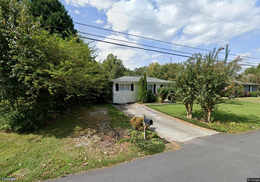
66 N Hall Rd Dahlonega, GA 30533
Estimated Value: $206,000 - $333,000
2
Beds
1
Bath
1,209
Sq Ft
$232/Sq Ft
Est. Value
About This Home
This home is located at 66 N Hall Rd, Dahlonega, GA 30533 and is currently estimated at $280,437, approximately $231 per square foot. 66 N Hall Rd is a home located in Lumpkin County with nearby schools including Clay County Middle School and Lumpkin County High School.
Ownership History
Date
Name
Owned For
Owner Type
Purchase Details
Closed on
Jan 28, 2010
Sold by
Warbington Leon D
Bought by
Jenkins David E
Current Estimated Value
Purchase Details
Closed on
Jul 10, 2003
Sold by
Fuller Toby J
Bought by
Warbington Leon D
Purchase Details
Closed on
Mar 6, 2002
Sold by
Anderson William Keith
Bought by
Fuller Toby J
Purchase Details
Closed on
Feb 1, 2002
Sold by
Goswick Greg
Bought by
Anderson William Keith
Purchase Details
Closed on
Nov 14, 1995
Bought by
Goswick Greg
Purchase Details
Closed on
Jun 13, 1994
Sold by
Laura
Bought by
Goswick Greg
Purchase Details
Closed on
Dec 23, 1993
Sold by
Martin Williiam
Bought by
Anderson William K
Purchase Details
Closed on
Oct 1, 1992
Bought by
Jones Betty L
Create a Home Valuation Report for This Property
The Home Valuation Report is an in-depth analysis detailing your home's value as well as a comparison with similar homes in the area
Home Values in the Area
Average Home Value in this Area
Purchase History
| Date | Buyer | Sale Price | Title Company |
|---|---|---|---|
| Jenkins David E | $95,500 | -- | |
| Warbington Leon D | $103,000 | -- | |
| Fuller Toby J | $88,500 | -- | |
| Anderson William Keith | $72,500 | -- | |
| Goswick Greg | -- | -- | |
| Goswick Greg | $46,500 | -- | |
| Anderson William K | $40,000 | -- | |
| Jones Betty L | $45,000 | -- |
Source: Public Records
Tax History Compared to Growth
Tax History
| Year | Tax Paid | Tax Assessment Tax Assessment Total Assessment is a certain percentage of the fair market value that is determined by local assessors to be the total taxable value of land and additions on the property. | Land | Improvement |
|---|---|---|---|---|
| 2024 | $1,822 | $63,656 | $12,000 | $51,656 |
| 2023 | $1,729 | $59,978 | $12,000 | $47,978 |
| 2022 | $1,617 | $52,946 | $12,000 | $40,946 |
| 2021 | $1,496 | $45,842 | $12,000 | $33,842 |
| 2020 | $1,520 | $44,838 | $12,000 | $32,838 |
| 2019 | $1,527 | $44,838 | $12,000 | $32,838 |
| 2018 | $1,500 | $41,223 | $12,000 | $29,223 |
| 2017 | $1,494 | $40,360 | $12,000 | $28,360 |
| 2016 | $1,428 | $37,759 | $12,000 | $25,759 |
| 2015 | $1,233 | $37,759 | $12,000 | $25,759 |
| 2014 | $1,233 | $38,098 | $12,000 | $26,098 |
| 2013 | -- | $38,436 | $12,000 | $26,436 |
Source: Public Records
Map
Nearby Homes
- 94 Mountain View Dr
- 490 N Hall Rd
- 399 N Chestatee St
- 95 Jones St
- 22 Honeysuckle Ln
- 97 Beaumont Dr
- 315 Church St
- 502 Wimpy Mill Rd
- 0 Highway 19 N Unit 10594984
- 168 W Main St
- 0 S Chestatee St Unit 10619536
- 253 Blair Ridge Rd
- 1392 S Chestatee St
- 159 Misty Way
- LOT 6 Sky Country Rd
- 120 Blair Ridge Rd
- 121 Blair Ridge Rd
- 0 Dawsonville Hwy Unit 10631159
- 00 Dawsonville Hwy
- 329 Morrison Moore Pkwy E