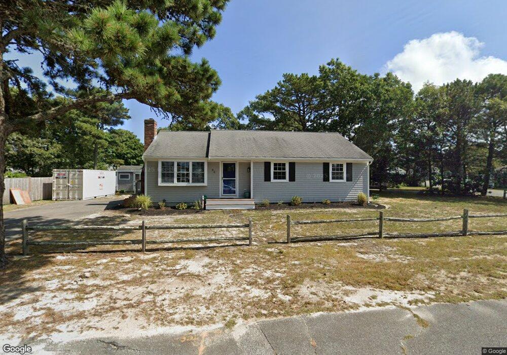
66 Nipigon Way E Dennis Port, MA 02639
Dennis Port NeighborhoodEstimated Value: $656,000 - $764,000
3
Beds
2
Baths
1,201
Sq Ft
$601/Sq Ft
Est. Value
About This Home
This home is located at 66 Nipigon Way E, Dennis Port, MA 02639 and is currently estimated at $721,542, approximately $600 per square foot. 66 Nipigon Way E is a home located in Barnstable County with nearby schools including Dennis-Yarmouth Regional High School and St. Pius X. School.
Ownership History
Date
Name
Owned For
Owner Type
Purchase Details
Closed on
Jan 12, 2001
Sold by
Notte Mary E Est
Bought by
Breen George W and Breen Tracey A
Current Estimated Value
Home Financials for this Owner
Home Financials are based on the most recent Mortgage that was taken out on this home.
Original Mortgage
$145,600
Outstanding Balance
$54,111
Interest Rate
7.64%
Mortgage Type
Purchase Money Mortgage
Estimated Equity
$667,431
Create a Home Valuation Report for This Property
The Home Valuation Report is an in-depth analysis detailing your home's value as well as a comparison with similar homes in the area
Home Values in the Area
Average Home Value in this Area
Purchase History
| Date | Buyer | Sale Price | Title Company |
|---|---|---|---|
| Breen George W | $182,000 | -- |
Source: Public Records
Mortgage History
| Date | Status | Borrower | Loan Amount |
|---|---|---|---|
| Open | Breen George W | $145,600 |
Source: Public Records
Tax History Compared to Growth
Tax History
| Year | Tax Paid | Tax Assessment Tax Assessment Total Assessment is a certain percentage of the fair market value that is determined by local assessors to be the total taxable value of land and additions on the property. | Land | Improvement |
|---|---|---|---|---|
| 2025 | $2,805 | $647,900 | $204,000 | $443,900 |
| 2024 | $2,665 | $607,000 | $196,100 | $410,900 |
| 2023 | $2,577 | $551,900 | $178,300 | $373,600 |
| 2022 | $2,494 | $445,300 | $160,600 | $284,700 |
| 2021 | $2,527 | $419,000 | $180,000 | $239,000 |
| 2020 | $2,284 | $374,500 | $157,500 | $217,000 |
| 2019 | $2,159 | $349,900 | $154,400 | $195,500 |
| 2018 | $3,045 | $326,900 | $147,000 | $179,900 |
| 2017 | $1,911 | $310,700 | $136,500 | $174,200 |
| 2016 | $1,931 | $295,700 | $147,000 | $148,700 |
| 2015 | $1,892 | $295,700 | $147,000 | $148,700 |
| 2014 | $1,744 | $274,700 | $126,000 | $148,700 |
Source: Public Records
Map
Nearby Homes
- 80 Michaels Ave
- 27 Mayflower Ln
- 37 Ocean Dr Unit 2
- 10 Grindell Ave
- 112 Old Wharf Rd Unit E4
- 112 Old Wharf Rd Unit E1
- 61 Trotters Ln
- 18 Holiday Ln
- 154 Old Wharf Rd Unit 26
- 154 Old Wharf Rd Unit 14
- 15 Woodside Park Rd
- 71 Main St
- 4 Coffey Ln
- 6 Baker Way
- 125 Main St Unit 3
- 217 Old Wharf Rd Unit 64
- 241 Old Wharf Rd Unit 82
- 241 Old Wharf Rd Unit 127
- 262 Old Wharf Rd Unit 67
- 262 Old Wharf Rd Unit 5
- 29 Nipigon Way E
- 72 Northern Ave
- 115 Michaels Ave
- 53 Nipigon Way W
- 119 Michaels Ave
- 119 Michael's
- 111 Michaels Ave
- 52 Nipigon Way W
- 76 Northern Ave
- 58 Northern Ave
- 59 Northern Ave
- 5 Northern Ln
- 107 Michaels Ave
- 48 Nipigon Way W
- 22 Nipigon Way E
- 49 Nipigon Way W
- 114 Michaels Ave
- 80 Northern Ave
- 110 Michaels Ave
- 54 Northern Ave