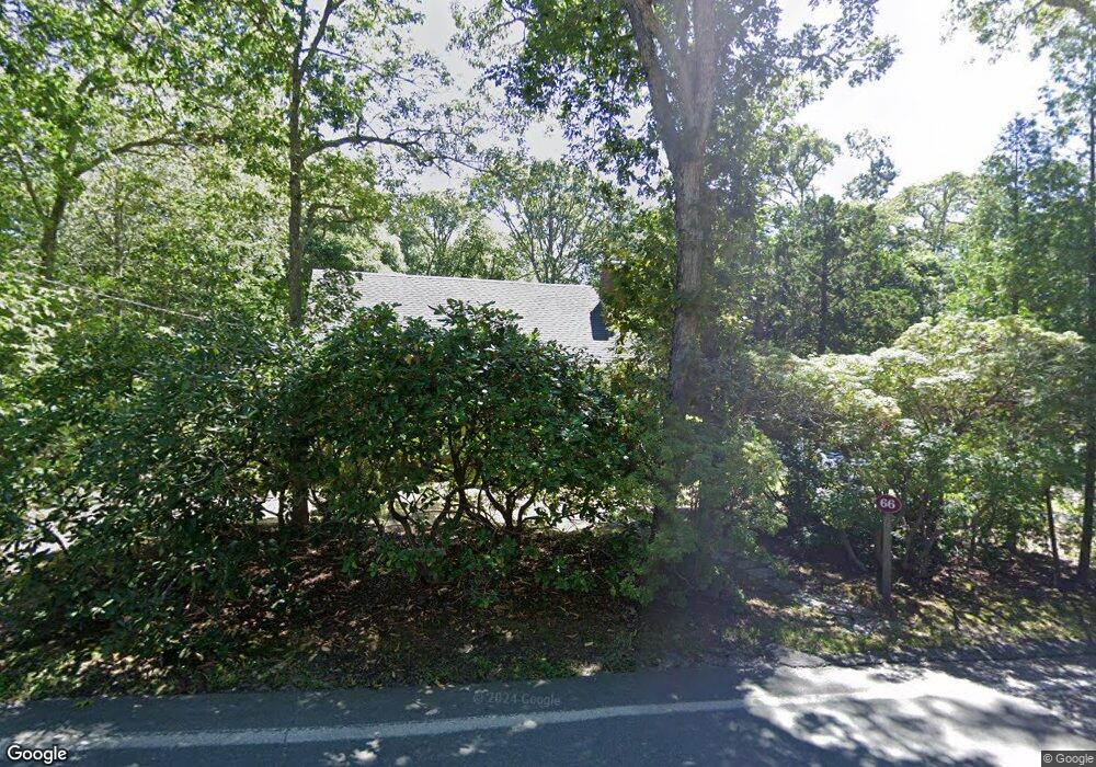
66 Nobska Rd Woods Hole, MA 02543
Woods Hole NeighborhoodEstimated Value: $955,000 - $1,307,000
4
Beds
2
Baths
1,666
Sq Ft
$673/Sq Ft
Est. Value
About This Home
This home is located at 66 Nobska Rd, Woods Hole, MA 02543 and is currently estimated at $1,120,736, approximately $672 per square foot. 66 Nobska Rd is a home located in Barnstable County with nearby schools including Mullen-Hall School, Lawrence School, and Morse Pond School.
Ownership History
Date
Name
Owned For
Owner Type
Purchase Details
Closed on
Jan 15, 2025
Sold by
Coneybear George W and Orlando Susan M
Bought by
Coneybear Ft and Orlando
Current Estimated Value
Purchase Details
Closed on
Sep 8, 2009
Sold by
Coneybear George W and Coneybear Edna W
Bought by
Coneybear George W and Orlando Susan M
Home Financials for this Owner
Home Financials are based on the most recent Mortgage that was taken out on this home.
Original Mortgage
$328,320
Interest Rate
5.21%
Mortgage Type
Purchase Money Mortgage
Create a Home Valuation Report for This Property
The Home Valuation Report is an in-depth analysis detailing your home's value as well as a comparison with similar homes in the area
Home Values in the Area
Average Home Value in this Area
Purchase History
| Date | Buyer | Sale Price | Title Company |
|---|---|---|---|
| Coneybear Ft | -- | None Available | |
| Coneybear George W | $410,400 | -- |
Source: Public Records
Mortgage History
| Date | Status | Borrower | Loan Amount |
|---|---|---|---|
| Previous Owner | Coneybear George W | $328,320 |
Source: Public Records
Tax History Compared to Growth
Tax History
| Year | Tax Paid | Tax Assessment Tax Assessment Total Assessment is a certain percentage of the fair market value that is determined by local assessors to be the total taxable value of land and additions on the property. | Land | Improvement |
|---|---|---|---|---|
| 2025 | $5,114 | $871,200 | $472,800 | $398,400 |
| 2024 | $5,121 | $815,400 | $451,900 | $363,500 |
| 2023 | $4,301 | $621,500 | $337,900 | $283,600 |
| 2022 | $4,613 | $573,000 | $337,400 | $235,600 |
| 2021 | $4,505 | $530,000 | $322,700 | $207,300 |
| 2020 | $4,301 | $500,700 | $293,400 | $207,300 |
| 2019 | $4,243 | $495,700 | $293,400 | $202,300 |
| 2018 | $4,205 | $488,900 | $293,400 | $195,500 |
| 2017 | $4,101 | $480,800 | $293,400 | $187,400 |
| 2016 | $4,024 | $480,800 | $293,400 | $187,400 |
| 2015 | $3,938 | $480,800 | $293,400 | $187,400 |
| 2014 | $3,910 | $479,700 | $293,500 | $186,200 |
Source: Public Records
Map
Nearby Homes
- 9 Strawberry Hill Rd
- 9 Strawberry Hill Rd
- 533 Woods Hole Rd Unit B101
- 533 Woods Hole Rd Unit D101
- 533 Woods Hole Rd Unit B102
- 533 Woods Hole Rd Unit E202
- 533 Woods Hole Rd Unit E301
- 29 Wilson Rd
- 82 Harbor Hill Rd
- 76 F r Lillie Rd
- 14 School St
- 10 Quissett Ave
- 54 Whitman Rd
- 5 Park Rd
- 87 Oyster Pond Rd
- 251 Woods Hole Rd
- 44 Carey Ln
- 38 Landfall Unit 38
- 38 Landfall