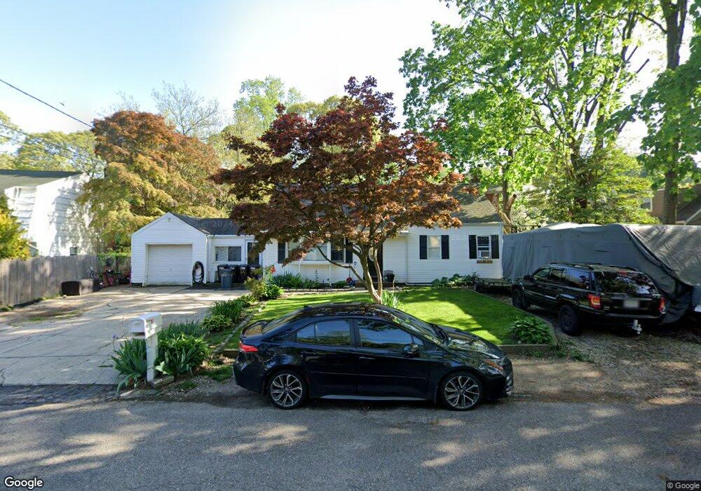
66 Norton Dr East Northport, NY 11731
Estimated Value: $617,000 - $810,000
--
Bed
--
Bath
--
Sq Ft
6,970
Sq Ft Lot
About This Home
This home is located at 66 Norton Dr, East Northport, NY 11731 and is currently estimated at $702,112. 66 Norton Dr is a home located in Suffolk County with nearby schools including Northport Senior High School, The School House, and Trinity Regional School-East Northport Campus.
Ownership History
Date
Name
Owned For
Owner Type
Purchase Details
Closed on
Jul 8, 1994
Sold by
Desmond Raymond B and Desmond Lidia
Bought by
Desmond Raymond B and Desmond Lidia
Current Estimated Value
Create a Home Valuation Report for This Property
The Home Valuation Report is an in-depth analysis detailing your home's value as well as a comparison with similar homes in the area
Home Values in the Area
Average Home Value in this Area
Purchase History
| Date | Buyer | Sale Price | Title Company |
|---|---|---|---|
| Desmond Raymond B | -- | -- |
Source: Public Records
Tax History Compared to Growth
Tax History
| Year | Tax Paid | Tax Assessment Tax Assessment Total Assessment is a certain percentage of the fair market value that is determined by local assessors to be the total taxable value of land and additions on the property. | Land | Improvement |
|---|---|---|---|---|
| 2024 | $9,039 | $2,820 | $125 | $2,695 |
| 2023 | $4,519 | $2,820 | $125 | $2,695 |
| 2022 | $8,495 | $2,820 | $125 | $2,695 |
| 2021 | $8,226 | $2,820 | $125 | $2,695 |
| 2020 | $8,091 | $2,820 | $125 | $2,695 |
| 2019 | $16,182 | $0 | $0 | $0 |
| 2018 | $7,578 | $2,820 | $125 | $2,695 |
| 2017 | $7,578 | $2,820 | $125 | $2,695 |
| 2016 | $7,455 | $2,820 | $125 | $2,695 |
| 2015 | -- | $2,820 | $125 | $2,695 |
| 2014 | -- | $2,820 | $125 | $2,695 |
Source: Public Records
Map
Nearby Homes
- 62 Forest Dr
- 96 Bellecrest Ave
- 17 Terrace Dr
- 110 Bellecrest Ave
- 96 Soundview Ave
- 18 Norton Dr
- 15 Crest Dr
- 40 Irving Johnson St
- 21 Cullen Dr
- 65 Circle Dr
- 167 Vernon Valley Rd
- 26 Irving Johnson St
- 72 Upland Dr
- 1293 Pulaski Rd
- 1270 Pulaski Rd
- 66 Upland Dr
- 54A Upland Dr
- 83 Bellerose Ave
- 14 Sunrise Ct
- 909 2nd St N