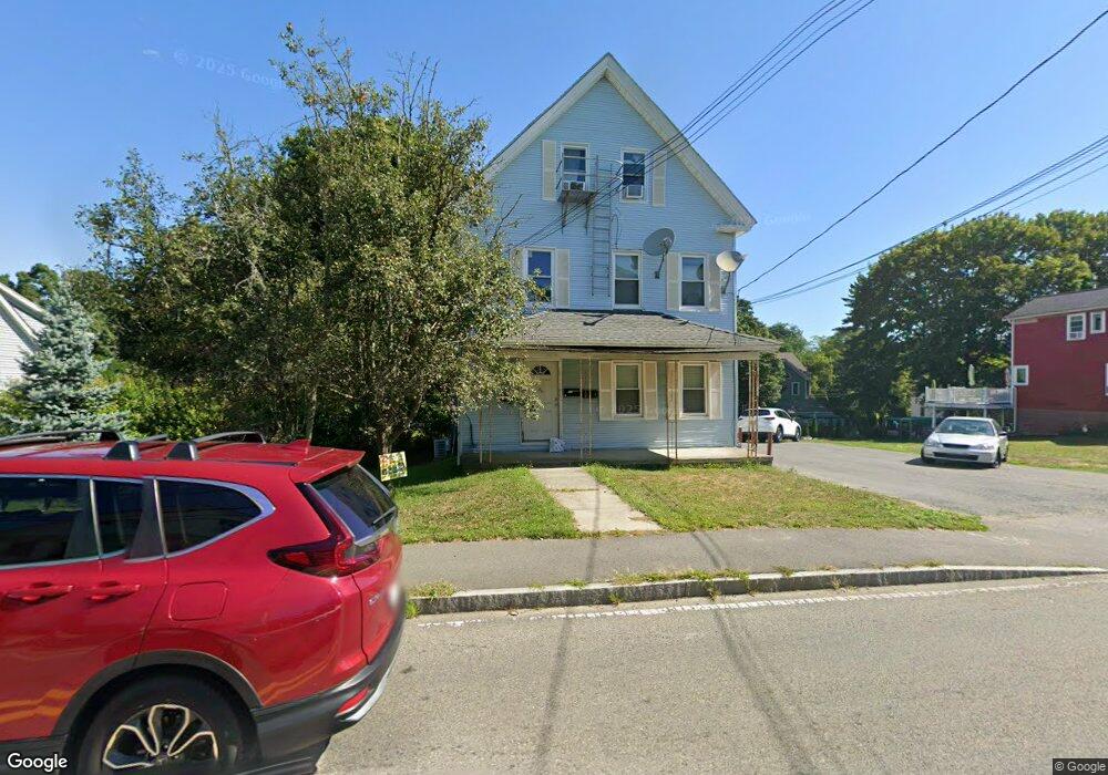
66 Plain St Unit 1 Taunton, MA 02780
Weir Village NeighborhoodEstimated Value: $635,000 - $666,000
3
Beds
1
Bath
2,554
Sq Ft
$253/Sq Ft
Est. Value
About This Home
This home is located at 66 Plain St Unit 1, Taunton, MA 02780 and is currently estimated at $646,000, approximately $252 per square foot. 66 Plain St Unit 1 is a home located in Bristol County with nearby schools including East Taunton Elementary School, Taunton High School, and Joseph H. Martin.
Ownership History
Date
Name
Owned For
Owner Type
Purchase Details
Closed on
May 5, 2025
Sold by
66 Plain St Rt and Daveiga
Bought by
Daveiga Armando
Current Estimated Value
Purchase Details
Closed on
Apr 7, 2011
Sold by
Veiga-Fortes Ashun M
Bought by
66 Plain Street T and 66 Oliveira
Purchase Details
Closed on
Dec 28, 2007
Sold by
Veiga-Frtes Ashtin M
Bought by
Daveiga Armando R
Purchase Details
Closed on
May 3, 2004
Sold by
Daveiga Antonio and Daveiga Eugenia
Bought by
Veiga Fortes Ashtin M and Andrade Ashtin M
Create a Home Valuation Report for This Property
The Home Valuation Report is an in-depth analysis detailing your home's value as well as a comparison with similar homes in the area
Home Values in the Area
Average Home Value in this Area
Purchase History
| Date | Buyer | Sale Price | Title Company |
|---|---|---|---|
| Daveiga Armando | -- | None Available | |
| Daveiga Armando | -- | None Available | |
| 66 Plain Street T | -- | -- | |
| 66 Plain Street T | -- | -- | |
| Daveiga Armando R | -- | -- | |
| Daveiga Armando R | -- | -- | |
| Veiga Fortes Ashtin M | -- | -- | |
| Veiga Fortes Ashtin M | -- | -- |
Source: Public Records
Mortgage History
| Date | Status | Borrower | Loan Amount |
|---|---|---|---|
| Previous Owner | Veiga Fortes Ashtin M | $100,000 |
Source: Public Records
Tax History
| Year | Tax Paid | Tax Assessment Tax Assessment Total Assessment is a certain percentage of the fair market value that is determined by local assessors to be the total taxable value of land and additions on the property. | Land | Improvement |
|---|---|---|---|---|
| 2025 | $5,855 | $535,200 | $95,700 | $439,500 |
| 2024 | $5,653 | $505,200 | $95,700 | $409,500 |
| 2023 | $5,371 | $445,700 | $95,700 | $350,000 |
| 2022 | $4,956 | $376,000 | $75,500 | $300,500 |
| 2021 | $4,148 | $292,100 | $61,000 | $231,100 |
| 2020 | $4,045 | $272,200 | $61,000 | $211,200 |
| 2019 | $3,831 | $243,100 | $65,600 | $177,500 |
| 2018 | $3,534 | $224,800 | $65,100 | $159,700 |
| 2017 | $3,166 | $201,500 | $61,700 | $139,800 |
| 2016 | $3,033 | $193,400 | $63,500 | $129,900 |
| 2015 | $2,891 | $192,600 | $64,700 | $127,900 |
| 2014 | $2,796 | $191,400 | $63,500 | $127,900 |
Source: Public Records
Map
Nearby Homes
- 9 Akron Ln
- 12 Beacon St
- 6 Southeast St
- 90 E Water St
- 4 Staples Ave
- 212 Carriage Ln Unit 212
- 1316 Carriage Ln Unit 1316
- 24 1st St
- 450 Somerset Ave Unit 3-7
- 59 Linden St Unit 307
- 252 Somerset Ave
- 36 Linden St
- 21 Briggs St
- 28 Linden St
- 1 White St
- 29 Johnson St Unit C
- 29 Johnson St Unit A
- 29 Johnson St Unit B
- 52 General Cobb St
- 25 Johnson St Unit B
Your Personal Tour Guide
Ask me questions while you tour the home.