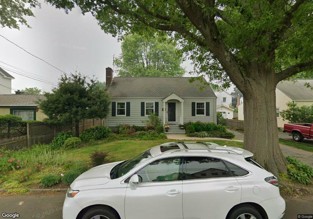
66 Pratt St Fairfield, CT 06824
Fairfield Beach NeighborhoodEstimated Value: $884,000 - $1,041,000
3
Beds
3
Baths
1,498
Sq Ft
$659/Sq Ft
Est. Value
About This Home
This home is located at 66 Pratt St, Fairfield, CT 06824 and is currently estimated at $987,830, approximately $659 per square foot. 66 Pratt St is a home located in Fairfield County with nearby schools including Roger Sherman Elementary School, Roger Ludlowe Middle School, and Fairfield Ludlowe High School.
Ownership History
Date
Name
Owned For
Owner Type
Purchase Details
Closed on
Jul 27, 1998
Sold by
Hersh Nancy A
Bought by
Goduco Luisito and Valdes Victoria
Current Estimated Value
Home Financials for this Owner
Home Financials are based on the most recent Mortgage that was taken out on this home.
Original Mortgage
$200,800
Interest Rate
6.99%
Mortgage Type
Unknown
Purchase Details
Closed on
Dec 21, 1990
Sold by
Spellman Elizabeth
Bought by
Hersch Nancy A
Create a Home Valuation Report for This Property
The Home Valuation Report is an in-depth analysis detailing your home's value as well as a comparison with similar homes in the area
Home Values in the Area
Average Home Value in this Area
Purchase History
| Date | Buyer | Sale Price | Title Company |
|---|---|---|---|
| Goduco Luisito | $251,000 | -- | |
| Goduco Luisito | $251,000 | -- | |
| Hersch Nancy A | $175,000 | -- |
Source: Public Records
Mortgage History
| Date | Status | Borrower | Loan Amount |
|---|---|---|---|
| Closed | Hersch Nancy A | $201,500 | |
| Closed | Hersch Nancy A | $196,500 | |
| Closed | Hersch Nancy A | $200,800 |
Source: Public Records
Tax History
| Year | Tax Paid | Tax Assessment Tax Assessment Total Assessment is a certain percentage of the fair market value that is determined by local assessors to be the total taxable value of land and additions on the property. | Land | Improvement |
|---|---|---|---|---|
| 2025 | $10,841 | $381,850 | $292,320 | $89,530 |
| 2024 | $10,654 | $381,850 | $292,320 | $89,530 |
| 2023 | $10,505 | $381,850 | $292,320 | $89,530 |
| 2022 | $10,402 | $381,850 | $292,320 | $89,530 |
| 2021 | $10,302 | $381,850 | $292,320 | $89,530 |
| 2020 | $8,996 | $335,790 | $233,310 | $102,480 |
| 2019 | $8,996 | $335,790 | $233,310 | $102,480 |
| 2018 | $8,851 | $335,790 | $233,310 | $102,480 |
| 2017 | $8,670 | $335,790 | $233,310 | $102,480 |
| 2016 | $8,546 | $335,790 | $233,310 | $102,480 |
| 2015 | $8,503 | $343,000 | $246,260 | $96,740 |
| 2014 | $8,369 | $343,000 | $246,260 | $96,740 |
Source: Public Records
Map
Nearby Homes
- 110 Pratt St
- 187 Catherine Terrace
- 121 Alden St
- 127 Paul Place
- 464 Ruane St
- 345 Reef Rd Unit B6
- 345 Reef Rd Unit C9
- 2 Mellow St
- 88 Veres St
- 117 Forest Ave
- 65 Thorpe St Unit 65
- 25 Helen St
- 783 Reef Rd
- 209 S Pine Creek Rd
- 245 Unquowa Rd Unit 2
- 245 Unquowa Rd Unit 82
- 245 Unquowa Rd Unit 6
- 139 Field Point Dr
- 75 Spinning Wheel Rd
- 877 S Pine Creek Rd