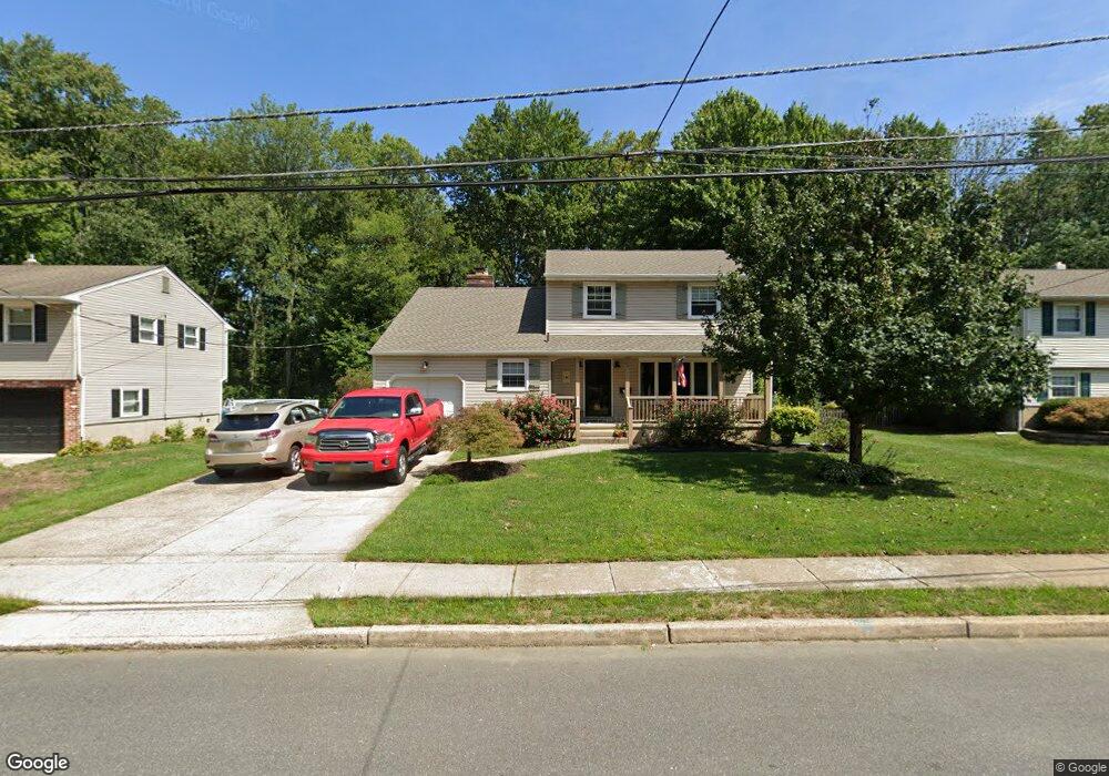
66 Red Leaf Rd Moorestown, NJ 08057
Estimated Value: $379,183 - $512,000
--
Bed
--
Bath
1,877
Sq Ft
$242/Sq Ft
Est. Value
About This Home
This home is located at 66 Red Leaf Rd, Moorestown, NJ 08057 and is currently estimated at $454,296, approximately $242 per square foot. 66 Red Leaf Rd is a home located in Burlington County with nearby schools including Mary E. Roberts Elementary School, Moorestown Upper Elementary School, and William Allen Middle School.
Ownership History
Date
Name
Owned For
Owner Type
Purchase Details
Closed on
Jul 17, 1998
Sold by
Weaver William H and Weaver Patricia M
Bought by
Weaver Michael D and Morretta Weaver Rosemary
Current Estimated Value
Home Financials for this Owner
Home Financials are based on the most recent Mortgage that was taken out on this home.
Original Mortgage
$142,500
Interest Rate
6.92%
Create a Home Valuation Report for This Property
The Home Valuation Report is an in-depth analysis detailing your home's value as well as a comparison with similar homes in the area
Home Values in the Area
Average Home Value in this Area
Purchase History
| Date | Buyer | Sale Price | Title Company |
|---|---|---|---|
| Weaver Michael D | $150,000 | Surety Title Corporation |
Source: Public Records
Mortgage History
| Date | Status | Borrower | Loan Amount |
|---|---|---|---|
| Closed | Weaver Michael D | $142,500 |
Source: Public Records
Tax History Compared to Growth
Tax History
| Year | Tax Paid | Tax Assessment Tax Assessment Total Assessment is a certain percentage of the fair market value that is determined by local assessors to be the total taxable value of land and additions on the property. | Land | Improvement |
|---|---|---|---|---|
| 2025 | $6,235 | $218,100 | $65,500 | $152,600 |
| 2024 | $6,048 | $218,100 | $65,500 | $152,600 |
| 2023 | $6,048 | $218,100 | $65,500 | $152,600 |
| 2022 | $6,017 | $218,100 | $65,500 | $152,600 |
| 2021 | $5,941 | $218,100 | $65,500 | $152,600 |
| 2020 | $5,902 | $218,100 | $65,500 | $152,600 |
| 2019 | $5,795 | $218,100 | $65,500 | $152,600 |
| 2018 | $5,150 | $199,700 | $65,500 | $134,200 |
| 2017 | $5,184 | $199,700 | $65,500 | $134,200 |
| 2016 | $5,160 | $199,700 | $65,500 | $134,200 |
| 2015 | $5,092 | $199,700 | $65,500 | $134,200 |
| 2014 | $4,843 | $199,700 | $65,500 | $134,200 |
Source: Public Records
Map
Nearby Homes
- 205 Crider Ave Unit 205
- 124 E Wilson Ave
- 106 Pine St
- 519 N Lincoln Ave
- 149 Chalkboard Ct
- 709 Manor Terrace
- 21 N Lenola Rd
- 14 Vincent Way
- 801 E Camden Ave
- 25 Oriole Way
- 531 Covington Terrace
- 206 E Camden Ave
- 423 Park Blvd
- 99 Grant Ave
- 316 Farmdale Rd
- 308 Farmdale Rd
- 2807 Hunterdon Dr
- 431 E Park Ave
- 114 Grant Ave
- Ballad Plan at Villages at Moorestown