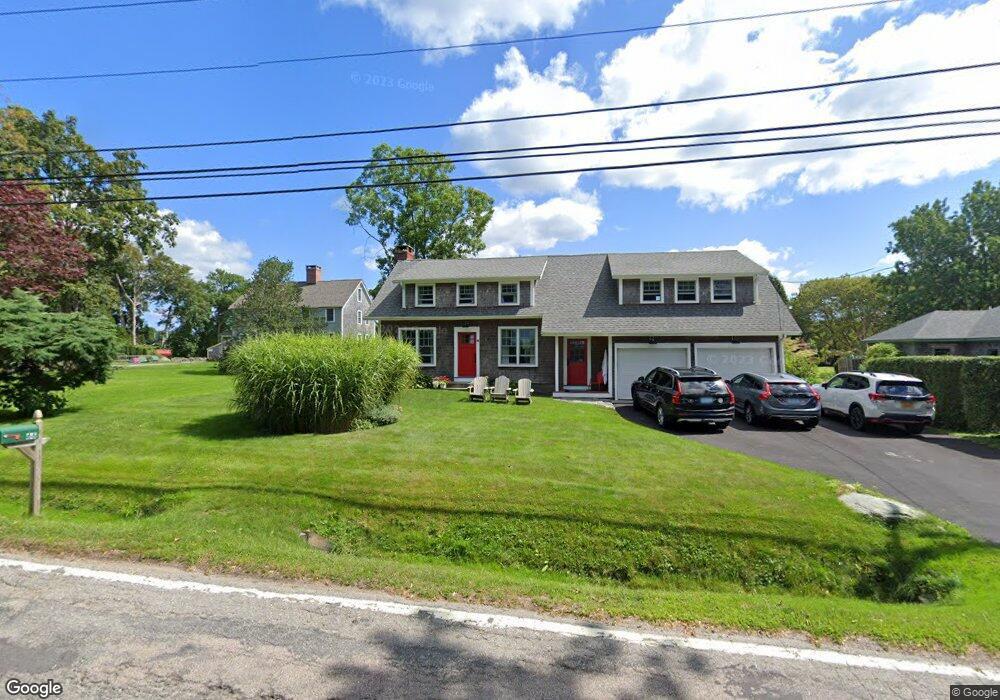
66 S Of Commons Rd Little Compton, RI 02837
Estimated Value: $1,080,367 - $1,386,000
2
Beds
2
Baths
1,361
Sq Ft
$952/Sq Ft
Est. Value
About This Home
This home is located at 66 S Of Commons Rd, Little Compton, RI 02837 and is currently estimated at $1,295,342, approximately $951 per square foot. 66 S Of Commons Rd is a home located in Newport County with nearby schools including Wilbur & McMahon School.
Ownership History
Date
Name
Owned For
Owner Type
Purchase Details
Closed on
Mar 1, 2011
Sold by
Gomez Donald T and Gomez Judith Ann
Bought by
Harrington John H and Harrington Bethany W
Current Estimated Value
Home Financials for this Owner
Home Financials are based on the most recent Mortgage that was taken out on this home.
Original Mortgage
$176,000
Interest Rate
4.75%
Mortgage Type
Purchase Money Mortgage
Create a Home Valuation Report for This Property
The Home Valuation Report is an in-depth analysis detailing your home's value as well as a comparison with similar homes in the area
Home Values in the Area
Average Home Value in this Area
Purchase History
| Date | Buyer | Sale Price | Title Company |
|---|---|---|---|
| Harrington John H | $220,000 | -- | |
| Harrington John H | $220,000 | -- |
Source: Public Records
Mortgage History
| Date | Status | Borrower | Loan Amount |
|---|---|---|---|
| Open | Harrington John H | $176,000 | |
| Closed | Harrington John H | $176,000 |
Source: Public Records
Tax History Compared to Growth
Tax History
| Year | Tax Paid | Tax Assessment Tax Assessment Total Assessment is a certain percentage of the fair market value that is determined by local assessors to be the total taxable value of land and additions on the property. | Land | Improvement |
|---|---|---|---|---|
| 2025 | $4,788 | $999,500 | $222,300 | $777,200 |
| 2024 | $4,766 | $938,200 | $193,300 | $744,900 |
| 2023 | $4,653 | $938,200 | $193,300 | $744,900 |
| 2022 | $4,597 | $938,200 | $193,300 | $744,900 |
| 2021 | $3,626 | $600,300 | $168,100 | $432,200 |
| 2020 | $3,425 | $571,800 | $168,100 | $403,700 |
| 2019 | $3,139 | $529,300 | $168,100 | $361,200 |
| 2018 | $1,911 | $320,700 | $152,400 | $168,300 |
| 2016 | $1,818 | $320,700 | $152,400 | $168,300 |
| 2015 | $1,689 | $293,800 | $119,400 | $174,400 |
| 2014 | $1,657 | $293,800 | $119,400 | $174,400 |
Source: Public Records
Map
Nearby Homes
- 141 S Of Commons Rd
- 128 Maple Ave
- 536 W Main Rd
- 18 Old Barn Rd
- 0 Willow Ave
- 441 W Main Rd
- 505 Long Hwy
- 180 W Main Rd
- 255 John Dyer Rd
- 189 Brayton Point Rd
- 17 Ferolbink Way
- 304 Brayton Point Rd
- 155 W Main Rd
- 19 Seabury Ln
- 245 John Dyer Rd
- 6 June Way
- 55 W Main Rd
- 83 Long Hwy
- 116 Amy Hart Path
- 60 Edmond Ln
- 70 S Of Commons Rd
- 64 S Of Commons Rd
- 60 S Of Commons Rd
- 98 S Of Commons Rd
- 54 S Of Commons Rd
- 86 S Of Commons Rd
- 86 S Of Commons Rd
- 50 S Of Commons Rd
- 44 S Of Commons Rd
- 92 S Of Commons Rd
- 43 S Of Commons Rd
- 99 S Of Commons Rd
- 35 S Of Commons Rd
- 36C S Of Commons Rd
- 104 S Of Commons Rd
- 31 S Of Commons Rd
- 24 S Of Commons Rd
- 110 S Of Commons Rd
- 114F S Of Commons Rd
- 114 S Of Commons Rd