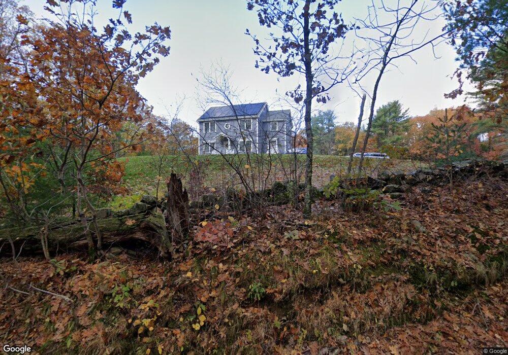
66 Sassawanna Rd Rutland, MA 01543
Estimated Value: $629,380 - $735,000
3
Beds
3
Baths
2,400
Sq Ft
$284/Sq Ft
Est. Value
About This Home
This home is located at 66 Sassawanna Rd, Rutland, MA 01543 and is currently estimated at $682,095, approximately $284 per square foot. 66 Sassawanna Rd is a home with nearby schools including Wachusett Regional High School.
Ownership History
Date
Name
Owned For
Owner Type
Purchase Details
Closed on
Apr 1, 2024
Sold by
Maykel Albert E
Bought by
Maykel Albert E and Maykel Cheryl A
Current Estimated Value
Home Financials for this Owner
Home Financials are based on the most recent Mortgage that was taken out on this home.
Original Mortgage
$67,000
Outstanding Balance
$64,647
Interest Rate
6.77%
Mortgage Type
Second Mortgage Made To Cover Down Payment
Estimated Equity
$617,448
Create a Home Valuation Report for This Property
The Home Valuation Report is an in-depth analysis detailing your home's value as well as a comparison with similar homes in the area
Home Values in the Area
Average Home Value in this Area
Purchase History
| Date | Buyer | Sale Price | Title Company |
|---|---|---|---|
| Maykel Albert E | -- | None Available | |
| Maykel Albert E | -- | None Available |
Source: Public Records
Mortgage History
| Date | Status | Borrower | Loan Amount |
|---|---|---|---|
| Open | Maykel Albert E | $67,000 | |
| Closed | Maykel Albert E | $67,000 |
Source: Public Records
Tax History Compared to Growth
Tax History
| Year | Tax Paid | Tax Assessment Tax Assessment Total Assessment is a certain percentage of the fair market value that is determined by local assessors to be the total taxable value of land and additions on the property. | Land | Improvement |
|---|---|---|---|---|
| 2025 | $7,354 | $516,400 | $98,600 | $417,800 |
| 2024 | $7,258 | $489,400 | $94,700 | $394,700 |
| 2023 | $6,672 | $486,300 | $89,300 | $397,000 |
| 2022 | $6,237 | $395,000 | $75,400 | $319,600 |
| 2021 | $2,223 | $362,700 | $75,400 | $287,300 |
| 2020 | $6,088 | $345,700 | $71,500 | $274,200 |
| 2019 | $6,070 | $339,300 | $68,100 | $271,200 |
| 2018 | $5,823 | $321,200 | $68,100 | $253,100 |
| 2017 | $5,884 | $321,200 | $68,100 | $253,100 |
| 2016 | $5,242 | $301,800 | $58,300 | $243,500 |
| 2015 | $5,166 | $292,700 | $58,300 | $234,400 |
| 2014 | $998 | $58,300 | $58,300 | $0 |
Source: Public Records
Map
Nearby Homes
- 40 Brunelle Dr
- 2 Simon Davis Dr
- 16 Richards Ave
- 35 Brintnal Dr
- 51 Woodside Ave
- 47 Woodside Ave
- 55 Pommogussett Rd
- 73 Brintnal Dr
- 5 Miles Rd
- 32 Pommogussett Rd Unit 1
- 101 Brintnal Dr
- 25 Watson Ln
- 10 Soucy Dr
- Lot 24R Quail Run
- Lot 29 Quail Run
- Lot 27A Quail Run
- 4 Fidelity Dr Unit 2
- 6 Fidelity Dr Unit 3
- Lot 2 Barrack Hill Rd
- 0 Barrack Hill Rd Unit 73395148
- 00 Sassawanna Rd
- 57 Sassawanna Rd
- 49 Sassawanna Rd
- 47 Sassawanna Rd
- 45 Sassawanna Rd
- 84 Sassawanna Rd
- 41 Sassawanna Rd
- 54 Brunelle Dr
- 52 Brunelle Dr
- 50 Brunelle Dr
- 51 Brunelle Dr
- 48 Brunelle Dr
- 49 Brunelle Dr
- 4 Charnock Cir
- 4 Charnock Hill Cir
- 46 Brunelle Dr
- 46 Brunelle Drive - Lot 14
- 27 Sassawanna Rd
- 37 Marjorie Ln
- 10 Charnock Hill Cir