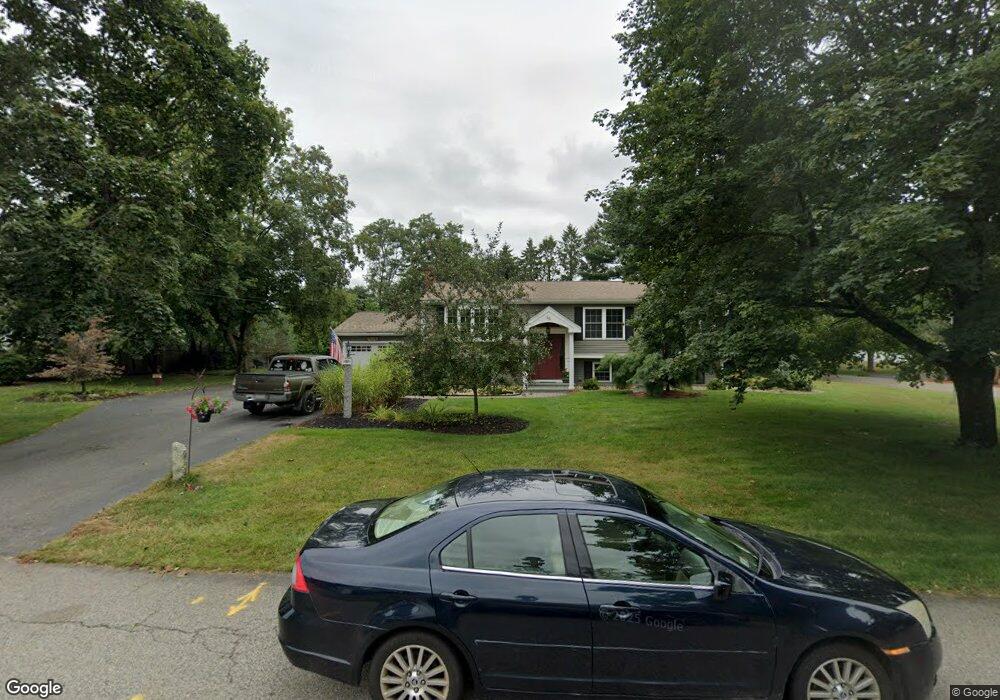
66 Sequoya Ln Hanover, MA 02339
Estimated Value: $566,129 - $673,000
3
Beds
1
Bath
1,056
Sq Ft
$586/Sq Ft
Est. Value
About This Home
This home is located at 66 Sequoya Ln, Hanover, MA 02339 and is currently estimated at $618,782, approximately $585 per square foot. 66 Sequoya Ln is a home located in Plymouth County with nearby schools including Hanover High School.
Ownership History
Date
Name
Owned For
Owner Type
Purchase Details
Closed on
Jan 10, 2013
Sold by
Johndrow Janet M
Bought by
Johndrow David and Johndrow Janet M
Current Estimated Value
Purchase Details
Closed on
Sep 13, 2011
Sold by
Francis X Nihan Rt and Chodor Cynthia L
Bought by
Johndrow Janet M
Create a Home Valuation Report for This Property
The Home Valuation Report is an in-depth analysis detailing your home's value as well as a comparison with similar homes in the area
Home Values in the Area
Average Home Value in this Area
Purchase History
| Date | Buyer | Sale Price | Title Company |
|---|---|---|---|
| Johndrow David | -- | -- | |
| Johndrow Janet M | -- | -- |
Source: Public Records
Mortgage History
| Date | Status | Borrower | Loan Amount |
|---|---|---|---|
| Previous Owner | Johndrow David | $35,000 |
Source: Public Records
Tax History
| Year | Tax Paid | Tax Assessment Tax Assessment Total Assessment is a certain percentage of the fair market value that is determined by local assessors to be the total taxable value of land and additions on the property. | Land | Improvement |
|---|---|---|---|---|
| 2025 | $7,390 | $598,400 | $269,600 | $328,800 |
| 2024 | $7,388 | $575,400 | $269,600 | $305,800 |
| 2023 | $7,108 | $526,900 | $245,100 | $281,800 |
| 2022 | $7,318 | $479,900 | $245,100 | $234,800 |
| 2021 | $6,896 | $422,300 | $211,600 | $210,700 |
| 2020 | $3,266 | $418,700 | $211,600 | $207,100 |
| 2019 | $2,969 | $374,500 | $211,600 | $162,900 |
| 2018 | $0 | $371,100 | $211,600 | $159,500 |
| 2017 | $5,998 | $363,100 | $210,000 | $153,100 |
| 2016 | $5,802 | $344,100 | $191,000 | $153,100 |
| 2015 | $5,087 | $315,000 | $191,000 | $124,000 |
Source: Public Records
Map
Nearby Homes
- 95 Tecumseh Dr
- 75 School St
- 561 Circuit St
- 51 Cervelli Farm Dr
- 37 Dr
- 23 Cervelli Farm Dr
- 38 Cervelli Farm Dr
- 9 Cervelli Farm Dr
- 36 Grove St
- 250 Center St
- 108 Waterford Dr
- 430 Brook Bend Rd
- 139 Fairwood Dr
- 114 Graham Hill Dr
- 339 State St
- 35 Sproul Rd
- 177 Dwelley St
- 70 Bardin St
- 62 Larchmont Ln
- 107 Manzella Ct
- 56 Sequoya Ln
- 71 King Phillip Ln
- 167 Samoset Dr
- 155 Samoset Dr
- 61 King Phillip Ln
- 67 Sequoya Ln
- 55 Sequoya Ln
- 44 Sequoya Ln
- 179 Samoset Dr
- 143 Samoset Dr
- 49 King Phillip Ln
- 30 Sequoya Ln
- 131 Samoset Dr
- 68 King Phillip Ln
- 60 Massasoit Ln
- 80 King Phillip Ln
- 46 Massasoit Ln
- 37 King Phillip Ln
- 56 King Phillip Ln
- 31 Sequoya Ln
Your Personal Tour Guide
Ask me questions while you tour the home.