Estimated Value: $383,000 - $646,000
4
Beds
4
Baths
3,300
Sq Ft
$150/Sq Ft
Est. Value
About This Home
This home is located at 66 Spencers Mill Rd, Crane, MO 65633 and is currently estimated at $493,975, approximately $149 per square foot. 66 Spencers Mill Rd is a home located in Stone County with nearby schools including Crane Elementary School and Crane High School.
Ownership History
Date
Name
Owned For
Owner Type
Purchase Details
Closed on
Jan 22, 2013
Sold by
Porter John D and Porter Rebecca B
Bought by
Jordan Dale and Jordan Wanda
Current Estimated Value
Home Financials for this Owner
Home Financials are based on the most recent Mortgage that was taken out on this home.
Original Mortgage
$140,000
Outstanding Balance
$24,745
Interest Rate
2.68%
Mortgage Type
New Conventional
Estimated Equity
$469,230
Purchase Details
Closed on
Jul 17, 2008
Sold by
Darr Karen R
Bought by
Porter John D and Porter Rebecca B
Home Financials for this Owner
Home Financials are based on the most recent Mortgage that was taken out on this home.
Original Mortgage
$149,600
Interest Rate
6.09%
Mortgage Type
New Conventional
Create a Home Valuation Report for This Property
The Home Valuation Report is an in-depth analysis detailing your home's value as well as a comparison with similar homes in the area
Purchase History
| Date | Buyer | Sale Price | Title Company |
|---|---|---|---|
| Jordan Dale | -- | Great American Title | |
| Porter John D | -- | None Available |
Source: Public Records
Mortgage History
| Date | Status | Borrower | Loan Amount |
|---|---|---|---|
| Open | Jordan Dale | $140,000 | |
| Previous Owner | Porter John D | $149,600 |
Source: Public Records
Tax History
| Year | Tax Paid | Tax Assessment Tax Assessment Total Assessment is a certain percentage of the fair market value that is determined by local assessors to be the total taxable value of land and additions on the property. | Land | Improvement |
|---|---|---|---|---|
| 2025 | $1,722 | $34,170 | -- | -- |
| 2024 | $1,719 | $34,140 | -- | -- |
| 2023 | $1,719 | $34,140 | $0 | $0 |
| 2022 | $1,710 | $34,140 | $0 | $0 |
| 2021 | $1,730 | $34,140 | $0 | $0 |
| 2020 | $1,717 | $34,140 | $0 | $0 |
| 2019 | $1,715 | $34,140 | $0 | $0 |
| 2018 | $1,716 | $34,140 | $0 | $0 |
| 2017 | $1,713 | $34,140 | $0 | $0 |
| 2016 | $1,676 | $34,140 | $0 | $0 |
| 2015 | $1,670 | $34,140 | $0 | $0 |
| 2014 | $1,630 | $33,230 | $0 | $0 |
| 2012 | -- | $33,230 | $0 | $0 |
Source: Public Records
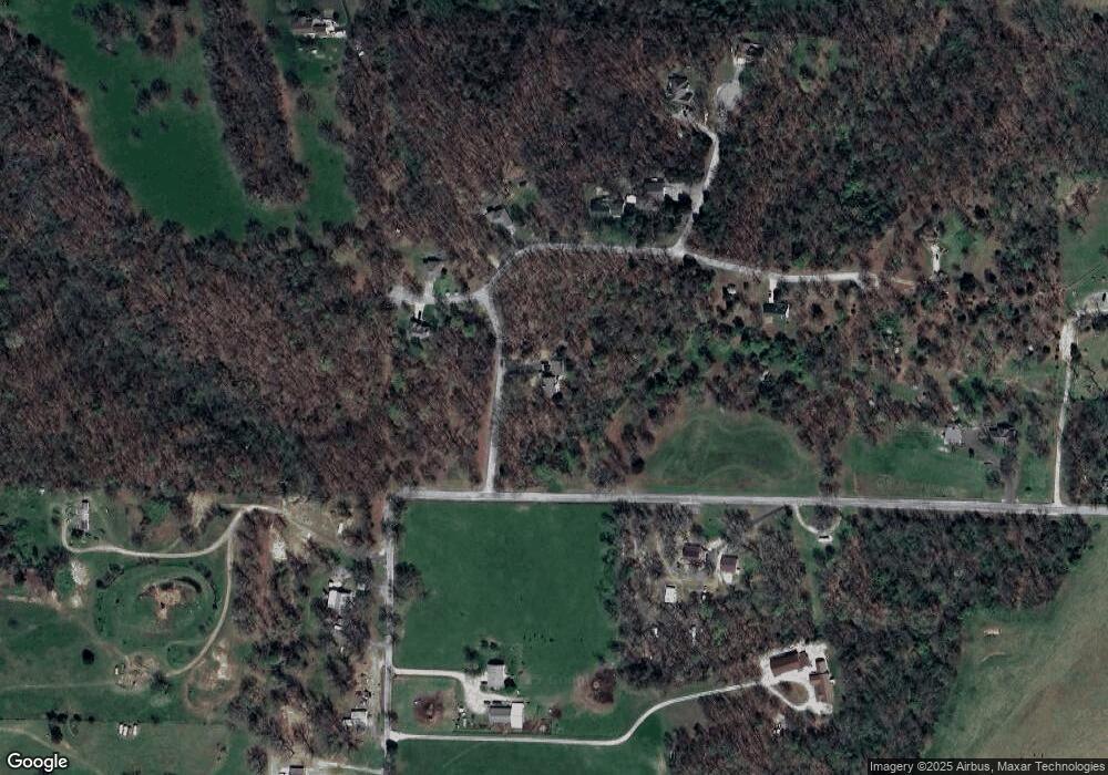
Map
Nearby Homes
- 406 Kadee Dr
- 202 N Hemphill Ave
- 103 E Meadow Ave
- Tbd Missouri 413
- 000 E Lockhart St
- 000 College St
- 000 Pine St
- 311 College St
- 206 Christiana St
- 502 Myrtle St
- 208 E Maud Ave
- 107 E Mockingbird Ln
- 4220 State Highway D
- 1601 State Highway B
- 42 Pacific Dr
- 519 State Highway Jj
- 000 Track 3 State Hwy Jj
- 000 Track 2 State Hwy Jj
- 1774 248-30
- 23211 Farm Road 2050
- 114 Spencers Mill Rd
- 111 Spencers Mill Rd
- 151 Spencers Mill Rd
- 12 McKnelley Cir
- 862 Miners Trail
- 1174 Miners Trail
- 58 McKnelley Cir
- 64 McKnelley Cir
- 327 Spencers Mill Rd
- 1200 Miners Trail
- 1320 Dodge Hollow Rd
- 767 Miners Trail
- 1270 Dodge Hollow Rd
- 1113 Miners Trail
- 695 Miners Trail
- 723 Miners Trail
- 1307 Miners Trail
- 1356 Miners Trail
- 1008 Dodge Hollow Rd
- 1602 Dodge Hollow Rd
Your Personal Tour Guide
Ask me questions while you tour the home.