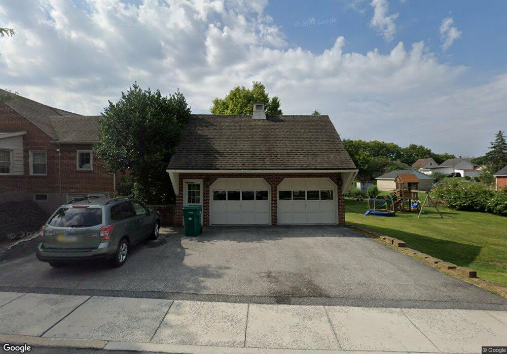
66 Spring Grove Ave Greencastle, PA 17225
Estimated Value: $299,000 - $369,204
4
Beds
2
Baths
2,129
Sq Ft
$158/Sq Ft
Est. Value
About This Home
This home is located at 66 Spring Grove Ave, Greencastle, PA 17225 and is currently estimated at $335,551, approximately $157 per square foot. 66 Spring Grove Ave is a home located in Franklin County with nearby schools including Greencastle-Antrim Primary School, Greencastle-Antrim Elementary School, and Greencastle-Antrim Middle School.
Ownership History
Date
Name
Owned For
Owner Type
Purchase Details
Closed on
Dec 16, 2011
Sold by
Zeger Lisa A
Bought by
Macbride Jonathon K and Macbride Elena Gaspar
Current Estimated Value
Home Financials for this Owner
Home Financials are based on the most recent Mortgage that was taken out on this home.
Original Mortgage
$177,301
Outstanding Balance
$121,228
Interest Rate
4%
Mortgage Type
New Conventional
Estimated Equity
$214,323
Create a Home Valuation Report for This Property
The Home Valuation Report is an in-depth analysis detailing your home's value as well as a comparison with similar homes in the area
Home Values in the Area
Average Home Value in this Area
Purchase History
| Date | Buyer | Sale Price | Title Company |
|---|---|---|---|
| Macbride Jonathon K | $182,900 | Olde Towne Title |
Source: Public Records
Mortgage History
| Date | Status | Borrower | Loan Amount |
|---|---|---|---|
| Open | Macbride Jonathon K | $177,301 |
Source: Public Records
Tax History Compared to Growth
Tax History
| Year | Tax Paid | Tax Assessment Tax Assessment Total Assessment is a certain percentage of the fair market value that is determined by local assessors to be the total taxable value of land and additions on the property. | Land | Improvement |
|---|---|---|---|---|
| 2025 | $3,785 | $22,080 | $1,780 | $20,300 |
| 2024 | $3,704 | $22,080 | $1,780 | $20,300 |
| 2023 | $3,665 | $22,080 | $1,780 | $20,300 |
| 2022 | $3,643 | $22,080 | $1,780 | $20,300 |
| 2021 | $3,579 | $22,080 | $1,780 | $20,300 |
| 2020 | $3,494 | $22,080 | $1,780 | $20,300 |
| 2019 | $3,422 | $22,080 | $1,780 | $20,300 |
| 2018 | $3,389 | $22,080 | $1,780 | $20,300 |
| 2017 | $3,290 | $22,080 | $1,780 | $20,300 |
| 2016 | $633 | $22,080 | $1,780 | $20,300 |
| 2015 | $590 | $22,080 | $1,780 | $20,300 |
| 2014 | $590 | $22,080 | $1,780 | $20,300 |
Source: Public Records
Map
Nearby Homes
- 239 Orchard Cir
- 271 E Baltimore St
- 602 Brookview Dr
- 227 Tyrone St
- 148 E Madison St
- 231 N Allison St Unit 1
- 560 Meadowview Cir
- 101 N Carlisle St
- 148 N Carlisle St
- 45 W Dahlgren St
- 431 Leitersburg St
- 674 Lohman Ave
- 260 Scarlet Cir
- 823 Buchanan Trail E
- 12 Edward Dr
- 34.77 Acres Red Oak Estate S
- 341 W Baltimore St
- 64 W Walter Ave
- 480 S Carlisle St
- 90 W Walter Ave
- 52 Spring Grove Ave
- 437 E Madison St
- 38 Spring Grove Ave
- 452 E Madison St
- 444 E Madison St
- 468 E Madison St
- 59 Spring Grove Ave
- 32 Spring Grove Ave
- 502 E Madison St
- 37 Spring Grove Ave
- 508 E Madison St
- 103 N Linden Ave
- 454 E Baltimore St
- 468 E Baltimore St
- 444 E Baltimore St
- 47 Spring Grove Ave
- 47 Spring Grove Ave
- 438 E Baltimore St
- 57 N Linden Ave
- 63 N Linden Ave