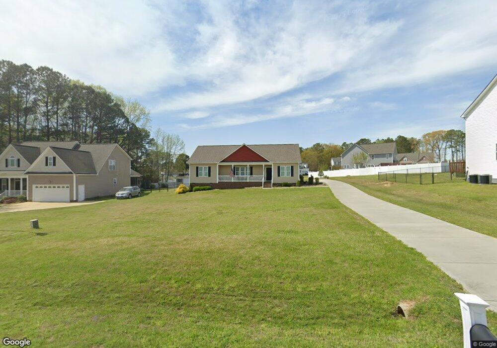
66 Straight St Angier, NC 27501
Pleasant Grove NeighborhoodEstimated Value: $329,000 - $353,200
3
Beds
2
Baths
1,790
Sq Ft
$193/Sq Ft
Est. Value
About This Home
This home is located at 66 Straight St, Angier, NC 27501 and is currently estimated at $345,550, approximately $193 per square foot. 66 Straight St is a home with nearby schools including McGee's Crossroads Elementary School, McGee's Crossroads Middle School, and West Johnston High School.
Ownership History
Date
Name
Owned For
Owner Type
Purchase Details
Closed on
Sep 2, 2015
Sold by
Spann Ronald Christopher and Spann Amy
Bought by
Morris Sherrill F and Morris Joyce A
Current Estimated Value
Purchase Details
Closed on
Aug 3, 2010
Sold by
Four Oaks Bank & Trust Company
Bought by
Spann Ronald Christopher and Spann Amy
Purchase Details
Closed on
Nov 27, 2006
Sold by
Ashley Turner Building Co Inc
Bought by
Ashley Turner Enterprises Inc
Purchase Details
Closed on
Mar 10, 2005
Sold by
Crossroads Dev Corp
Bought by
Ashley Turner Building Co Ing
Create a Home Valuation Report for This Property
The Home Valuation Report is an in-depth analysis detailing your home's value as well as a comparison with similar homes in the area
Home Values in the Area
Average Home Value in this Area
Purchase History
| Date | Buyer | Sale Price | Title Company |
|---|---|---|---|
| Morris Sherrill F | $21,000 | None Available | |
| Spann Ronald Christopher | $20,000 | None Available | |
| Ashley Turner Enterprises Inc | $641,000 | Investors Title Insurance Co | |
| Ashley Turner Building Co Ing | $2,100,000 | None Available |
Source: Public Records
Tax History Compared to Growth
Tax History
| Year | Tax Paid | Tax Assessment Tax Assessment Total Assessment is a certain percentage of the fair market value that is determined by local assessors to be the total taxable value of land and additions on the property. | Land | Improvement |
|---|---|---|---|---|
| 2025 | $2,146 | $337,900 | $70,000 | $267,900 |
| 2024 | $1,823 | $225,120 | $42,000 | $183,120 |
| 2023 | $1,767 | $225,120 | $42,000 | $183,120 |
| 2022 | $1,823 | $225,120 | $42,000 | $183,120 |
| 2021 | $1,823 | $225,120 | $42,000 | $183,120 |
| 2020 | $1,891 | $225,120 | $42,000 | $183,120 |
| 2019 | $1,846 | $225,120 | $42,000 | $183,120 |
| 2018 | $1,561 | $185,850 | $30,000 | $155,850 |
| 2017 | $1,561 | $185,850 | $30,000 | $155,850 |
| 2016 | $252 | $30,000 | $30,000 | $0 |
| 2014 | -- | $30,000 | $30,000 | $0 |
Source: Public Records
Map
Nearby Homes
- 139 Bounty Cir
- 3361 Old Fairground Rd
- Davidson Plan at Cedar Ridge
- Cypress Plan at Cedar Ridge
- McDowell Plan at Cedar Ridge
- Hamilton Plan at Cedar Ridge
- Colfax Plan at Cedar Ridge
- Edgefield Plan at Cedar Ridge
- Cooper Plan at Cedar Ridge
- Wescott Plan at Cedar Ridge
- 264 Harbor Cove Dr
- 156 Harbor Cove Dr
- 506 Harbor Cove Dr
- 105 Pinecrest Dr
- 179 Camden Dr
- 197 Silverside Dr
- 333 Greenleaf Rd
- 38.2 Acres Wiggins Rd
- 197 W Paige Wynd Dr
- 120 Massengill Pond Rd
- 80 Straight St
- 42 Straight St
- 153 Prosperity Ct
- 169 Prosperity Ct
- Lot 58 Straight St
- 88 Straight St
- 113 Prosperity Ct
- 61 Straight St
- 47 Straight St
- 75 Straight St
- 173 Prosperity Ct
- 89 Straight St
- 146 Prosperity Ct
- 160 Prosperity Ct
- 134 Prosperity Ct
- 25 Straight St
- LOT 45 Prosperity Ct
- LOT 52 Prosperity Ct
- 0 Prosperity Ct Unit 1737463
- 0 Prosperity Ct Unit 43 TR1737463