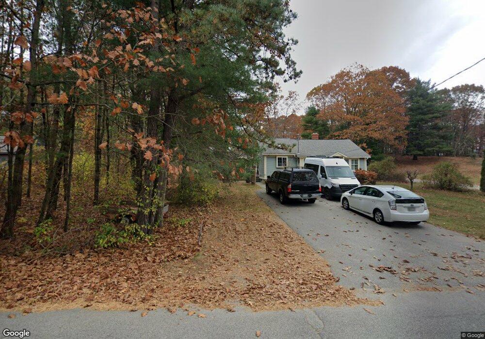
66 Warrens Way Kennebunk, ME 04043
Estimated Value: $399,052 - $471,000
2
Beds
1
Bath
912
Sq Ft
$475/Sq Ft
Est. Value
About This Home
This home is located at 66 Warrens Way, Kennebunk, ME 04043 and is currently estimated at $432,763, approximately $474 per square foot. 66 Warrens Way is a home located in York County with nearby schools including Kennebunk High School and The New School.
Ownership History
Date
Name
Owned For
Owner Type
Purchase Details
Closed on
Mar 29, 2011
Sold by
Odermann Lacey B and Odermann 3Rd Charles R
Bought by
Nelson Karen M and Nelson Craig W
Current Estimated Value
Home Financials for this Owner
Home Financials are based on the most recent Mortgage that was taken out on this home.
Original Mortgage
$136,800
Outstanding Balance
$95,562
Interest Rate
5.07%
Mortgage Type
Purchase Money Mortgage
Estimated Equity
$337,201
Purchase Details
Closed on
Apr 19, 2005
Sold by
Garon Pierce Inv Llc
Bought by
Odermann Lacey B and Odermann 4Th Charles R
Home Financials for this Owner
Home Financials are based on the most recent Mortgage that was taken out on this home.
Original Mortgage
$123,500
Interest Rate
5.78%
Mortgage Type
Purchase Money Mortgage
Purchase Details
Closed on
Jan 11, 2005
Sold by
Swett Lois E
Bought by
Garon Pierce Invest Llc
Create a Home Valuation Report for This Property
The Home Valuation Report is an in-depth analysis detailing your home's value as well as a comparison with similar homes in the area
Home Values in the Area
Average Home Value in this Area
Purchase History
| Date | Buyer | Sale Price | Title Company |
|---|---|---|---|
| Nelson Karen M | -- | -- | |
| Odermann Lacey B | -- | -- | |
| Garon Pierce Invest Llc | -- | -- |
Source: Public Records
Mortgage History
| Date | Status | Borrower | Loan Amount |
|---|---|---|---|
| Open | Nelson Karen M | $136,800 | |
| Previous Owner | Odermann Lacey B | $123,500 |
Source: Public Records
Tax History Compared to Growth
Tax History
| Year | Tax Paid | Tax Assessment Tax Assessment Total Assessment is a certain percentage of the fair market value that is determined by local assessors to be the total taxable value of land and additions on the property. | Land | Improvement |
|---|---|---|---|---|
| 2024 | $2,861 | $168,800 | $45,600 | $123,200 |
| 2023 | $2,709 | $168,800 | $45,600 | $123,200 |
| 2022 | $2,464 | $168,800 | $45,600 | $123,200 |
| 2021 | $2,405 | $168,800 | $45,600 | $123,200 |
| 2020 | $2,389 | $168,800 | $45,600 | $123,200 |
| 2019 | $2,321 | $168,800 | $45,600 | $123,200 |
| 2018 | $2,216 | $126,600 | $34,200 | $92,400 |
| 2017 | $2,095 | $126,600 | $34,200 | $92,400 |
| 2016 | $2,013 | $126,600 | $34,200 | $92,400 |
| 2015 | $1,937 | $126,600 | $34,200 | $92,400 |
| 2014 | $1,648 | $110,600 | $34,200 | $76,400 |
Source: Public Records
Map
Nearby Homes
- 0 Potvin Rd
- lot #3 Salvato Ln
- 141 Thompson Rd
- 4 Millstone Ln
- 9 Patterson Dr
- 30 Twine Mill Rd
- 4 Furbish Ln
- 19 Old Alewive Rd
- 24-4,25-10 Chapman Ln
- 23 Cascade Cir Unit 22
- 12 Chipmunk Trail
- 3 Nichols Ln
- 274 Alfred Rd
- 056 Cat Mousam Rd
- 276 Alfred Rd
- 23 Lilac Ln
- 6 Laurel Cir Unit 6
- 6 Dunnhill Dr Unit 28
- 5 Meander Ln Unit 2
- 284 Alfred Rd Unit Lot F13