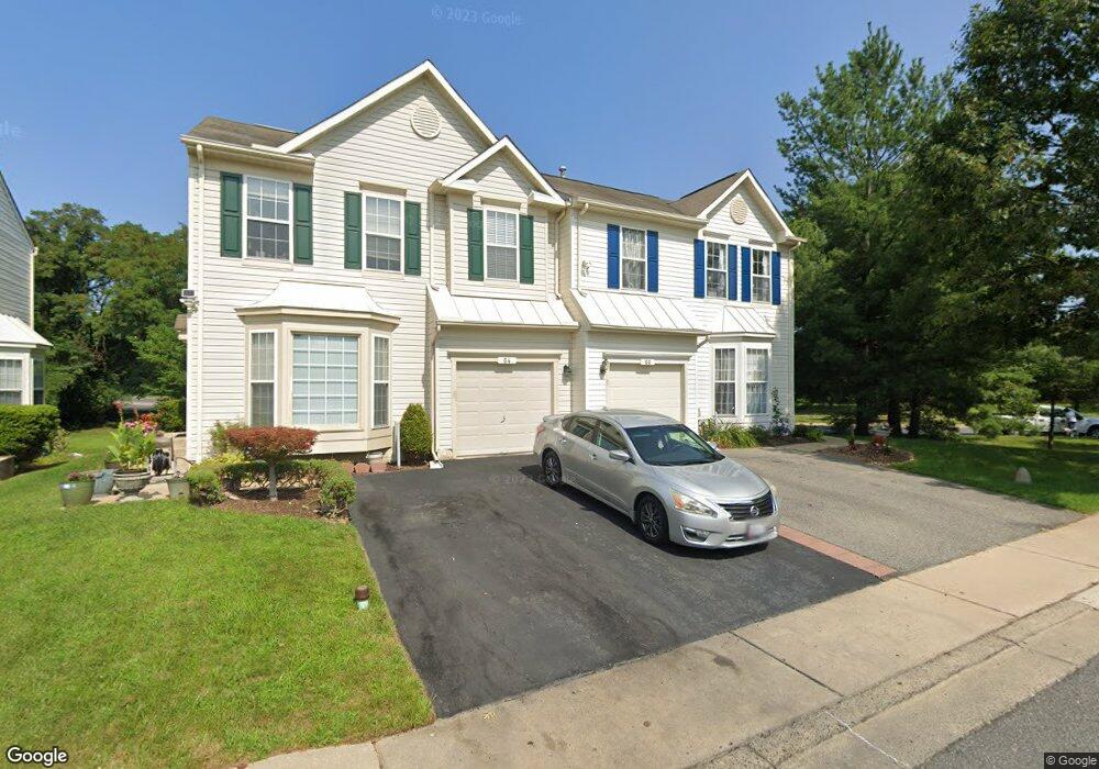
66 Westridge Cir Odenton, MD 21113
Estimated Value: $455,669 - $485,000
4
Beds
3
Baths
1,610
Sq Ft
$293/Sq Ft
Est. Value
About This Home
This home is located at 66 Westridge Cir, Odenton, MD 21113 and is currently estimated at $471,917, approximately $293 per square foot. 66 Westridge Cir is a home located in Anne Arundel County with nearby schools including Seven Oaks Elementary School, MacArthur Middle School, and Meade High School.
Ownership History
Date
Name
Owned For
Owner Type
Purchase Details
Closed on
Sep 16, 2005
Sold by
San Miguel Robert
Bought by
Willis Shantelle
Current Estimated Value
Home Financials for this Owner
Home Financials are based on the most recent Mortgage that was taken out on this home.
Original Mortgage
$310,165
Outstanding Balance
$165,522
Interest Rate
5.81%
Mortgage Type
New Conventional
Estimated Equity
$306,395
Purchase Details
Closed on
Nov 10, 1999
Sold by
Nvr Inc
Bought by
San Miguel Robert
Purchase Details
Closed on
Aug 11, 1999
Sold by
Seven Oaks Parcel 8 Limited Ptnshp
Bought by
Nvr Inc
Create a Home Valuation Report for This Property
The Home Valuation Report is an in-depth analysis detailing your home's value as well as a comparison with similar homes in the area
Home Values in the Area
Average Home Value in this Area
Purchase History
| Date | Buyer | Sale Price | Title Company |
|---|---|---|---|
| Willis Shantelle | $364,900 | -- | |
| San Miguel Robert | $155,690 | -- | |
| Nvr Inc | $72,000 | -- |
Source: Public Records
Mortgage History
| Date | Status | Borrower | Loan Amount |
|---|---|---|---|
| Open | Willis Shantelle | $310,165 |
Source: Public Records
Tax History Compared to Growth
Tax History
| Year | Tax Paid | Tax Assessment Tax Assessment Total Assessment is a certain percentage of the fair market value that is determined by local assessors to be the total taxable value of land and additions on the property. | Land | Improvement |
|---|---|---|---|---|
| 2025 | $4,450 | $389,200 | $160,000 | $229,200 |
| 2024 | $4,450 | $365,933 | $0 | $0 |
| 2023 | $4,159 | $342,667 | $0 | $0 |
| 2022 | $3,714 | $319,400 | $130,000 | $189,400 |
| 2021 | $3,668 | $315,000 | $0 | $0 |
| 2020 | $3,583 | $310,600 | $0 | $0 |
| 2019 | $3,540 | $306,200 | $115,000 | $191,200 |
| 2018 | $3,045 | $300,300 | $0 | $0 |
| 2017 | $3,332 | $294,400 | $0 | $0 |
| 2016 | -- | $288,500 | $0 | $0 |
| 2015 | -- | $283,200 | $0 | $0 |
| 2014 | -- | $277,900 | $0 | $0 |
Source: Public Records
Map
Nearby Homes
- 2008 Bunker Hill Ct
- 116 Langdon Farm Cir
- 146 Langdon Farm Cir
- 322 Timberbrook Ct
- 330 Timberbrook Ct
- 106 Pinecove Ave
- 2104 Commissary Cir
- 224 Arcadia Shores Cir
- 2139 Commissary Cir
- 2110 Commodore Ct
- 178 Pinecove Ave
- 2242 Commissary Cir
- 2240 Canteen Cir
- 319-F Eagles Landing Ct Unit 319F
- 1937 Artillery Ln
- 302 Assembly Point Ct
- 313 3 Sirens Ct
- 156 Goldsborough Dr
- 1823 Graybird Ct
- 1822 Dove Ct
- 64 Westridge Cir
- 62 Westridge Cir
- 68 Westridge Cir
- 60 Westridge Cir
- 70 Westridge Cir
- 72 Westridge Cir
- 63 Westridge Cir
- 74 Westridge Cir
- 65 Westridge Cir
- 67 Westridge Cir
- 69 Westridge Cir
- 76 Westridge Cir
- 78 Westridge Cir
- 71 Westridge Cir
- 80 Westridge Cir
- 82 Westridge Cir
- 2007 Bunker Hill Ct
- 73 Westridge Cir
- 2009 Bunker Hill Ct
- 84 Westridge Cir