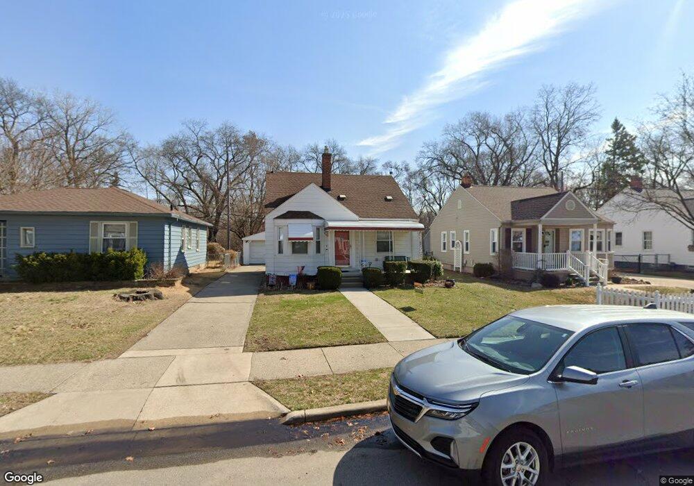
660 Allen St Ferndale, MI 48220
Estimated Value: $279,000 - $316,000
3
Beds
2
Baths
996
Sq Ft
$306/Sq Ft
Est. Value
About This Home
This home is located at 660 Allen St, Ferndale, MI 48220 and is currently estimated at $304,857, approximately $306 per square foot. 660 Allen St is a home located in Oakland County with nearby schools including Ferndale Lower Elementary Campus, Ferndale Upper Elementary Campus, and Ferndale Middle School.
Ownership History
Date
Name
Owned For
Owner Type
Purchase Details
Closed on
Jul 30, 2020
Sold by
Jones Raymond E and Jones Denise L
Bought by
Raymond And Denise Jones Living Trust
Current Estimated Value
Purchase Details
Closed on
Aug 31, 2000
Sold by
Henry Jane
Bought by
Jones Raymond E
Home Financials for this Owner
Home Financials are based on the most recent Mortgage that was taken out on this home.
Original Mortgage
$30,000
Outstanding Balance
$10,895
Interest Rate
8.05%
Estimated Equity
$293,962
Create a Home Valuation Report for This Property
The Home Valuation Report is an in-depth analysis detailing your home's value as well as a comparison with similar homes in the area
Home Values in the Area
Average Home Value in this Area
Purchase History
| Date | Buyer | Sale Price | Title Company |
|---|---|---|---|
| Raymond And Denise Jones Living Trust | -- | None Available | |
| Jones Raymond E | $145,000 | -- |
Source: Public Records
Mortgage History
| Date | Status | Borrower | Loan Amount |
|---|---|---|---|
| Open | Jones Raymond E | $30,000 |
Source: Public Records
Tax History Compared to Growth
Tax History
| Year | Tax Paid | Tax Assessment Tax Assessment Total Assessment is a certain percentage of the fair market value that is determined by local assessors to be the total taxable value of land and additions on the property. | Land | Improvement |
|---|---|---|---|---|
| 2024 | $4,072 | $161,570 | $0 | $0 |
| 2023 | $3,958 | $152,820 | $0 | $0 |
| 2022 | $3,981 | $139,800 | $0 | $0 |
| 2021 | $4,005 | $121,720 | $0 | $0 |
| 2020 | $3,794 | $113,540 | $0 | $0 |
| 2019 | $3,856 | $100,890 | $0 | $0 |
| 2018 | $3,871 | $91,190 | $0 | $0 |
| 2017 | $3,821 | $90,810 | $0 | $0 |
| 2016 | $3,777 | $83,760 | $0 | $0 |
| 2015 | -- | $79,520 | $0 | $0 |
| 2014 | -- | $70,040 | $0 | $0 |
| 2011 | -- | $73,510 | $0 | $0 |
Source: Public Records
Map
Nearby Homes
- 855 Allen St
- 559 Gardendale St
- 395 Glendale Ln
- 918 Saint Louis St
- 695 Livernois St
- 378 Fielding St
- 210 Saint Louis St
- 243 Edgewood Place
- 260 Fielding St
- 295 W Webster St
- 546 Leroy St
- 482 W 8 Mile Rd
- 457 W Bennett
- 242 W Webster St
- 243 W Webster St
- 2836 Woodstock Dr
- 228 Kensington Ave
- 204 Wordsworth St
- 768 Pinecrest Dr
- 211 Silman St