660 Banner Loop Concord, AR 72523
Estimated Value: $107,000 - $146,994
Studio
1
Bath
1,392
Sq Ft
$95/Sq Ft
Est. Value
About This Home
This home is located at 660 Banner Loop, Concord, AR 72523 and is currently estimated at $131,998, approximately $94 per square foot. 660 Banner Loop is a home with nearby schools including Concord Elementary School and Concord High School.
Ownership History
Date
Name
Owned For
Owner Type
Purchase Details
Closed on
May 14, 2025
Sold by
Stoltzfus Kevin Randall
Bought by
Stauffer Ryan Lynn
Current Estimated Value
Purchase Details
Closed on
Nov 19, 2004
Bought by
Evans Mathew Franklin
Purchase Details
Closed on
Jul 12, 2004
Bought by
State Of Ar and %Evans Mathew Franklin
Purchase Details
Closed on
Jun 27, 2003
Bought by
State Of Ar
Purchase Details
Closed on
Feb 3, 2000
Bought by
Evans, John W, Trustee
Purchase Details
Closed on
Aug 4, 1999
Bought by
State Of Ar
Purchase Details
Closed on
Mar 17, 1997
Bought by
Evans, John W Trustee
Purchase Details
Closed on
Jun 3, 1996
Bought by
Evans, Arthur F, Trustee
Create a Home Valuation Report for This Property
The Home Valuation Report is an in-depth analysis detailing your home's value as well as a comparison with similar homes in the area
Purchase History
| Date | Buyer | Sale Price | Title Company |
|---|---|---|---|
| Stauffer Ryan Lynn | $95,000 | Professional Land Title | |
| Evans Mathew Franklin | -- | -- | |
| State Of Ar | -- | -- | |
| State Of Ar | -- | -- | |
| Evans, John W, Trustee | -- | -- | |
| State Of Ar | -- | -- | |
| Evans, John W Trustee | -- | -- | |
| Evans, Arthur F, Trustee | -- | -- |
Source: Public Records
Tax History
| Year | Tax Paid | Tax Assessment Tax Assessment Total Assessment is a certain percentage of the fair market value that is determined by local assessors to be the total taxable value of land and additions on the property. | Land | Improvement |
|---|---|---|---|---|
| 2025 | $477 | $12,451 | $2,599 | $9,852 |
| 2024 | $433 | $9,919 | $2,562 | $7,357 |
| 2023 | $255 | $6,139 | $1,609 | $4,530 |
| 2022 | $237 | $6,139 | $1,609 | $4,530 |
| 2021 | $216 | $5,091 | $1,189 | $3,902 |
| 2020 | $216 | $5,091 | $1,189 | $3,902 |
| 2019 | $216 | $5,091 | $1,189 | $3,902 |
| 2018 | $216 | $5,091 | $1,189 | $3,902 |
| 2017 | $216 | $5,091 | $1,189 | $3,902 |
| 2016 | $222 | $5,221 | $1,319 | $3,902 |
| 2015 | $104 | $2,493 | $1,319 | $1,174 |
| 2014 | $104 | $2,493 | $1,319 | $1,174 |
Source: Public Records
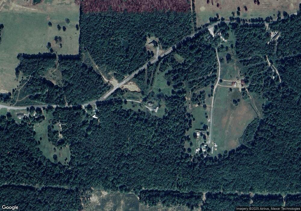
Map
Nearby Homes
- 560 Floral Rd
- 5 Cartwright Rd
- 784 Bayou St
- 550 Pine Grove Rd
- 839 Bullard Rd
- 369 County Line Rd
- 372 County Line Rd
- 79 Deer Valley Rd
- 150 Bugger Hollar Ln
- TBD Deer Valley Rd
- 0 Deer Valley Rd
- 000 Mountain View Rd
- 0 Big Creek Rd
- TBD Big Creek Rd
- 240 Oak Grove Rd
- 0 Country Oaks Rd Unit 25047213
- 3505 Floral Rd
- 000 Arrowhead Rd
- 1520 Mountain View Rd
- 0000 Dump Mountain Rd
- Banner Loop
- 549 Banner Loop
- 810 Banner Loop
- 584 Banner Loop
- 578 Banner Loop
- 0 Banner Loop
- 925 Banner Loop
- 950 Banner Loop
- 464 Banner Loop
- 441 Banner Loop
- 375 Banner Loop
- 345 Banner Loop
- 1075 Banner Loop
- 1761 Nicholson Rd
- 205 Reed Ln
- 1095 Banner Loop
- 175 Banner Loop
- 2080 Nicholson Rd
- 1970 Nicholson Rd
- 2104 Nicholson Rd
Your Personal Tour Guide
Ask me questions while you tour the home.