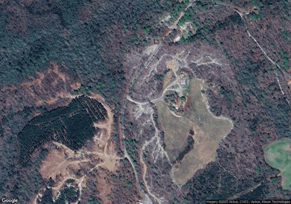
660 Burnt Mill Rd Blacksburg, SC 29702
Estimated Value: $148,000 - $267,000
--
Bed
--
Bath
2,128
Sq Ft
$101/Sq Ft
Est. Value
About This Home
This home is located at 660 Burnt Mill Rd, Blacksburg, SC 29702 and is currently estimated at $214,667, approximately $100 per square foot. 660 Burnt Mill Rd is a home located in Cherokee County with nearby schools including Blacksburg Primary School, Blacksburg Elementary School, and Blacksburg Middle School.
Ownership History
Date
Name
Owned For
Owner Type
Purchase Details
Closed on
Jul 27, 2021
Sold by
Cunningham Thomas W
Bought by
Detwiler Chris David and Detwiler Cathalina
Current Estimated Value
Home Financials for this Owner
Home Financials are based on the most recent Mortgage that was taken out on this home.
Original Mortgage
$150,275
Outstanding Balance
$136,769
Interest Rate
2.96%
Mortgage Type
FHA
Estimated Equity
$77,898
Purchase Details
Closed on
Mar 6, 2001
Bought by
Cunningham Thomas W
Create a Home Valuation Report for This Property
The Home Valuation Report is an in-depth analysis detailing your home's value as well as a comparison with similar homes in the area
Home Values in the Area
Average Home Value in this Area
Purchase History
| Date | Buyer | Sale Price | Title Company |
|---|---|---|---|
| Detwiler Chris David | $164,102 | None Listed On Document | |
| Cunningham Thomas W | -- | -- |
Source: Public Records
Mortgage History
| Date | Status | Borrower | Loan Amount |
|---|---|---|---|
| Open | Detwiler Chris David | $150,275 |
Source: Public Records
Tax History Compared to Growth
Tax History
| Year | Tax Paid | Tax Assessment Tax Assessment Total Assessment is a certain percentage of the fair market value that is determined by local assessors to be the total taxable value of land and additions on the property. | Land | Improvement |
|---|---|---|---|---|
| 2024 | $438 | $2,620 | $600 | $2,020 |
| 2023 | $434 | $2,620 | $600 | $2,020 |
| 2022 | $3,565 | $11,880 | $8,840 | $3,040 |
| 2021 | $977 | $3,310 | $660 | $2,650 |
| 2020 | $956 | $3,310 | $0 | $0 |
| 2019 | $378 | $3,310 | $0 | $0 |
| 2018 | $378 | $2,460 | $0 | $0 |
| 2017 | $383 | $2,460 | $0 | $0 |
| 2016 | $396 | $2,460 | $0 | $0 |
| 2015 | $326 | $2,460 | $0 | $0 |
| 2014 | $326 | $2,460 | $0 | $0 |
| 2013 | $326 | $2,460 | $0 | $0 |
Source: Public Records
Map
Nearby Homes
- 0 Wilderness Trail Unit 4 & 5 CAR4303338
- 447 Mullinax Cir
- 259 Roberts Rd
- 501 State Road S-11-141
- 501 Caldwell Rd
- 0 Old Yorkville Rd
- 680 Mullinax Cir
- 105 Darvee Rd
- 000 E Bells Branch Rd Unit 2
- 00 E Bells Branch Rd Unit 1
- 1435 Piedmont Rd
- 0 Hopewell Rd
- 156 Peniel Way
- 00 Mill Creek Rd
- 263 Bluebird Ln
- 238 Lakeview Dr
- 321 E Jones St
- 0 Mill Creek Rd
- 442 Gibbons Rd
- 304 S Rutherford St
- 710 Burnt Mill Rd
- 707 Burnt Mill Rd
- 711 Burnt Mill Rd
- TBD Burnt Mill Rd
- 00 Burnt Mill Rd
- 0 Burnt Mill Rd
- 731 Burnt Mill Rd
- 736 Burnt Mill Rd
- 748 Burnt Mill Rd
- 754 Burnt Mill Rd
- 746 Burnt Mill Rd
- 769 Burnt Mill Rd
- 718 Burnt Mill Rd
- 750 Burnt Mill Rd
- 377 George Rd
- 765 Burnt Mill Rd
- 784 Burnt Mill Rd
- 9 Burnt Mill Rd
- 806 Burnt Mill Rd
- 302 George Rd
