660 County Road 4522 Decatur, TX 76234
Estimated Value: $219,000 - $520,000
--
Bed
--
Bath
1,725
Sq Ft
$205/Sq Ft
Est. Value
About This Home
This home is located at 660 County Road 4522, Decatur, TX 76234 and is currently estimated at $353,791, approximately $205 per square foot. 660 County Road 4522 is a home with nearby schools including Decatur High School.
Ownership History
Date
Name
Owned For
Owner Type
Purchase Details
Closed on
Jul 30, 2025
Sold by
Splawn David Eugene
Bought by
Splawn Windell M
Current Estimated Value
Purchase Details
Closed on
Oct 28, 2019
Sold by
Splawn Windell M and Splawn David Eugene
Bought by
Splawn David A
Purchase Details
Closed on
Oct 24, 2002
Sold by
D D F W Triangle Prop Inc
Bought by
Splawn David and Splawn Windell
Purchase Details
Closed on
Nov 16, 2001
Sold by
Sledge Gary Phillip
Bought by
Splawn David and Splawn Windell
Purchase Details
Closed on
Oct 13, 1995
Bought by
Splawn David and Splawn Windell
Create a Home Valuation Report for This Property
The Home Valuation Report is an in-depth analysis detailing your home's value as well as a comparison with similar homes in the area
Home Values in the Area
Average Home Value in this Area
Purchase History
| Date | Buyer | Sale Price | Title Company |
|---|---|---|---|
| Splawn Windell M | -- | None Listed On Document | |
| Splawn David A | -- | None Available | |
| Splawn David | -- | -- | |
| Splawn David | -- | -- | |
| Splawn David | -- | -- |
Source: Public Records
Tax History Compared to Growth
Tax History
| Year | Tax Paid | Tax Assessment Tax Assessment Total Assessment is a certain percentage of the fair market value that is determined by local assessors to be the total taxable value of land and additions on the property. | Land | Improvement |
|---|---|---|---|---|
| 2025 | $1,576 | $234,568 | -- | -- |
| 2024 | $1,576 | $213,244 | $0 | $0 |
| 2023 | $2,342 | $193,858 | $0 | $0 |
| 2022 | $2,678 | $174,489 | $0 | $0 |
| 2021 | $2,543 | $200,510 | $96,900 | $103,610 |
| 2020 | $2,326 | $188,470 | $83,750 | $104,720 |
| 2019 | $1,126 | $65,545 | $29,765 | $35,780 |
| 2018 | $1,163 | $65,545 | $29,765 | $35,780 |
| 2017 | $1,508 | $84,960 | $45,130 | $39,830 |
| 2016 | $1,422 | $84,910 | $45,130 | $39,780 |
| 2015 | -- | $76,390 | $34,470 | $41,920 |
| 2014 | -- | $56,750 | $23,010 | $33,740 |
Source: Public Records
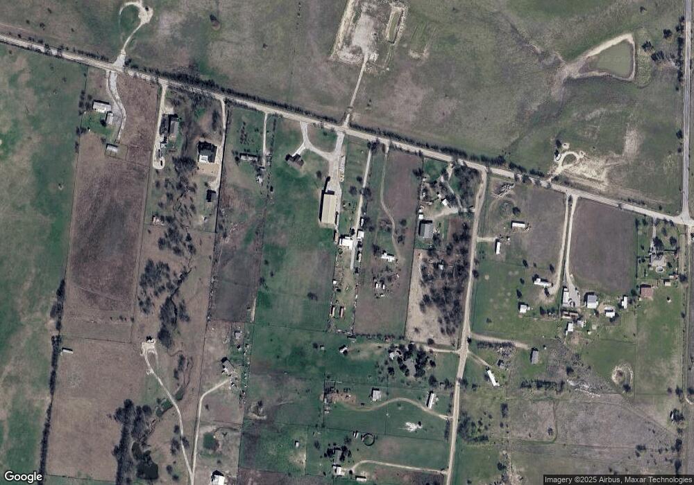
Map
Nearby Homes
- TBD County Road 4511
- 197 Pond View Dr
- 1495 County Road 4530
- 709 County Road 4530
- 705 County Road 4530
- 1421 County Road 4530
- 112 Emma Ct
- 160 Quail Run Ct
- 117 Emma Ct
- 5090 Fm 2264
- 1746 County Road 4522
- 249 Private Road 4434
- 414 County Road 4421
- 186 County Road 4430
- 0 Tbd County Road 4511
- 5926 High Mesa Dr
- 128 County Road 4430
- 6270 High Mesa Dr
- 12880 N County Line Rd
- 234 Private Road 4441
- 478 County Road 4522
- 698 County Road 4522
- 444 County Road 4522
- 134 Private Road 4523
- 4523 Pr Rd
- 740 County Road 4522
- 188 Private Road 4523
- 430 County Road 4522
- 766 County Road 4522
- TBD Pr 4523
- 354 Private Road 4523
- 778 County Road 4522
- 354 Private Rd 4523
- TBD County Road 4522
- 398 Private Road 4523
- 00 Pr 4523
- TBD Private Road 4523
- 0000 County Rd 4511
- 317 Private Road 4523
- Lot 3 County Road 4522