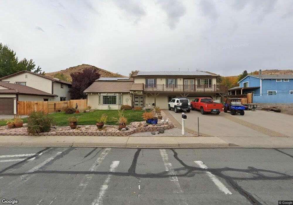
660 E Queen Way Sparks, NV 89431
Reed NeighborhoodEstimated Value: $670,507 - $908,000
4
Beds
4
Baths
3,167
Sq Ft
$247/Sq Ft
Est. Value
About This Home
This home is located at 660 E Queen Way, Sparks, NV 89431 and is currently estimated at $781,127, approximately $246 per square foot. 660 E Queen Way is a home located in Washoe County with nearby schools including Lena Juniper Elementary School, Lou Mendive Middle School, and Edward C Reed High School.
Ownership History
Date
Name
Owned For
Owner Type
Purchase Details
Closed on
Jun 18, 1996
Sold by
Romano Dominic G P and Romano Rebecca J
Bought by
Carr James R and Freeman Carr Janice I
Current Estimated Value
Home Financials for this Owner
Home Financials are based on the most recent Mortgage that was taken out on this home.
Original Mortgage
$160,000
Outstanding Balance
$8,069
Interest Rate
8.09%
Estimated Equity
$773,058
Create a Home Valuation Report for This Property
The Home Valuation Report is an in-depth analysis detailing your home's value as well as a comparison with similar homes in the area
Home Values in the Area
Average Home Value in this Area
Purchase History
| Date | Buyer | Sale Price | Title Company |
|---|---|---|---|
| Carr James R | $240,000 | Stewart Title |
Source: Public Records
Mortgage History
| Date | Status | Borrower | Loan Amount |
|---|---|---|---|
| Open | Carr James R | $160,000 |
Source: Public Records
Tax History Compared to Growth
Tax History
| Year | Tax Paid | Tax Assessment Tax Assessment Total Assessment is a certain percentage of the fair market value that is determined by local assessors to be the total taxable value of land and additions on the property. | Land | Improvement |
|---|---|---|---|---|
| 2026 | $2,880 | $135,015 | $50,400 | $84,615 |
| 2024 | $3,678 | $129,786 | $45,675 | $84,111 |
| 2023 | $3,574 | $123,248 | $42,525 | $80,723 |
| 2022 | $3,472 | $110,475 | $42,525 | $67,950 |
| 2021 | $3,372 | $93,430 | $25,137 | $68,293 |
| 2020 | $3,271 | $94,272 | $25,137 | $69,135 |
| 2019 | $3,176 | $91,863 | $23,940 | $67,923 |
| 2018 | $3,084 | $84,959 | $17,955 | $67,004 |
| 2017 | $2,992 | $85,608 | $17,955 | $67,653 |
| 2016 | $2,917 | $87,376 | $17,955 | $69,421 |
| 2015 | $739 | $84,745 | $14,711 | $70,034 |
| 2014 | $2,831 | $77,350 | $9,608 | $67,742 |
| 2013 | -- | $77,134 | $10,364 | $66,770 |
Source: Public Records
Map
Nearby Homes
- 3241 Edna Ct
- 3198 Bristle Branch Dr
- 3188 Bristle Branch Dr
- 3595 Rocky Ridge Ct
- 930 Spanish Springs Rd
- 947 Spanish Springs Rd Unit 1
- 908 Pinewood Dr
- 3104 Sandy St
- 933 Palmwood Dr
- 25 E Penny Way
- 1069 Palmwood Dr
- 1031 Vintage Hills Pkwy
- 240 E Gault Way
- 3602 Oakridge Dr
- 1029 Baywood Dr Unit D
- 3607 Keogh Dr
- 913 Glen Molly Dr
- 3988 Ella Jayne Ct Unit Lot 6
- 10 Sheridan Way
- 87 Gurr Ct
- 650 E Queen Way
- 3411 N Truckee Ln
- 651 Northwood Dr
- 661 Northwood Dr
- 3376 La Veaga Ct
- 641 Northwood Dr
- 640 E Queen Way
- 3362 La Veaga Ct
- 593 E Queen Way
- 3382 Laveaga Ct
- 3382 La Veaga Ct
- 631 Northwood Dr
- 3396 La Veaga Ct
- 3396 Laveaga Ct
- 573 E Queen Way
- 3356 La Veaga Ct
- 3410 Teglia St
- 594 Gamble Dr
- 3342 La Veaga Ct
- 3380 N Truckee Ln