Estimated Value: $269,127 - $322,000
About This Home
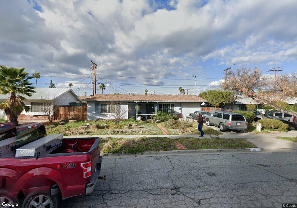
This home is located at 660 E Thornton Ave, Hemet, CA 92543 and is currently estimated at $292,532, approximately $285 per square foot. 660 E Thornton Ave is a home located in Riverside County with nearby schools including McSweeny Elementary School, Diamond Valley Middle School, and West Valley High School.
Ownership History
We collect this data history from publicly available records. To have your information removed, we recommend requesting removal directly through your county’s website.
Purchase Details
Home Financials for this Owner
Home Financials are based on the most recent Mortgage that was taken out on this home.Purchase Details
Home Financials for this Owner
Home Financials are based on the most recent Mortgage that was taken out on this home.Purchase Details
Purchase Details
Home Financials for this Owner
Home Financials are based on the most recent Mortgage that was taken out on this home.Purchase Details
Purchase History
We collect this data history from publicly available records. To have your information removed, we recommend requesting removal directly through your county’s website.
| Date | Buyer | Sale Price | Title Company |
|---|---|---|---|
| $60,000 | Landsafe Title | ||
| $52,650 | Landsafe Title | ||
| $61,200 | Landsafe Title | ||
| $186,000 | Fidelity National Title Co | ||
| -- | -- |
Mortgage History
We collect this data history from publicly available records. To have your information removed, we recommend requesting removal directly through your county’s website.
| Date | Status | Borrower | Loan Amount |
|---|---|---|---|
| Previous Owner | $54,945 | ||
| Previous Owner | $148,800 |
Tax History
We collect this data history from publicly available records. To have your information removed, we recommend requesting removal directly through your county’s website.
| Year | Tax Paid | Tax Assessment Tax Assessment Total Assessment is a certain percentage of the fair market value that is determined by local assessors to be the total taxable value of land and additions on the property. | Land | Improvement |
|---|---|---|---|---|
| 2025 | $876 | $77,429 | $19,353 | $58,076 |
| 2023 | $876 | $74,424 | $18,602 | $55,822 |
| 2022 | $850 | $72,966 | $18,238 | $54,728 |
| 2021 | $836 | $71,536 | $17,881 | $53,655 |
| 2020 | $842 | $70,803 | $17,698 | $53,105 |
| 2019 | $824 | $69,415 | $17,351 | $52,064 |
| 2018 | $800 | $68,055 | $17,011 | $51,044 |
| 2017 | $790 | $66,722 | $16,678 | $50,044 |
| 2016 | $783 | $65,414 | $16,351 | $49,063 |
| 2015 | $780 | $64,433 | $16,106 | $48,327 |
| 2014 | $748 | $63,173 | $15,792 | $47,381 |
Map
- 620 Snead Dr
- 621 Palmer Dr
- 501 Palmer Dr
- 1255 S Buena Vista St
- 27411 Santa fe St
- 832 E Stetson Ave
- 306 E Thornton Ave
- 750 Marjorie Ave
- 628 Monterey Place
- 893 Margaret Ave
- 1025 Dixie Dr
- 27355 Stonehenge Cir
- 962 Monarch St
- 40238 Stetson Ave
- 27370 Stonehenge Cir
- 780 Shellie Ln
- 1536 S State St Unit 99
- 1536 S State St Unit 218 B
- 1536 S State St Unit 36
- 1536 S State St Unit 148
- 701 Crenshaw Dr
- 731 Crenshaw Dr
- 700 E Thornton Ave
- 730 E Thornton Ave
- 681 Snead Dr
- 680 Snead Dr
- 700 Crenshaw Dr
- 761 Crenshaw Dr
- 680 E Thornton Ave
- 730 Crenshaw Dr
- 681 Palmer Dr
- 760 E Thornton Ave
- 660 Snead Dr
- 661 Snead Dr
- 661 Palmer Dr
- 760 Crenshaw Dr
- 640 Snead Dr
- 641 Snead Dr
- 701 Barber Dr
- 790 E Thornton Ave
Ask me questions while you tour the home.