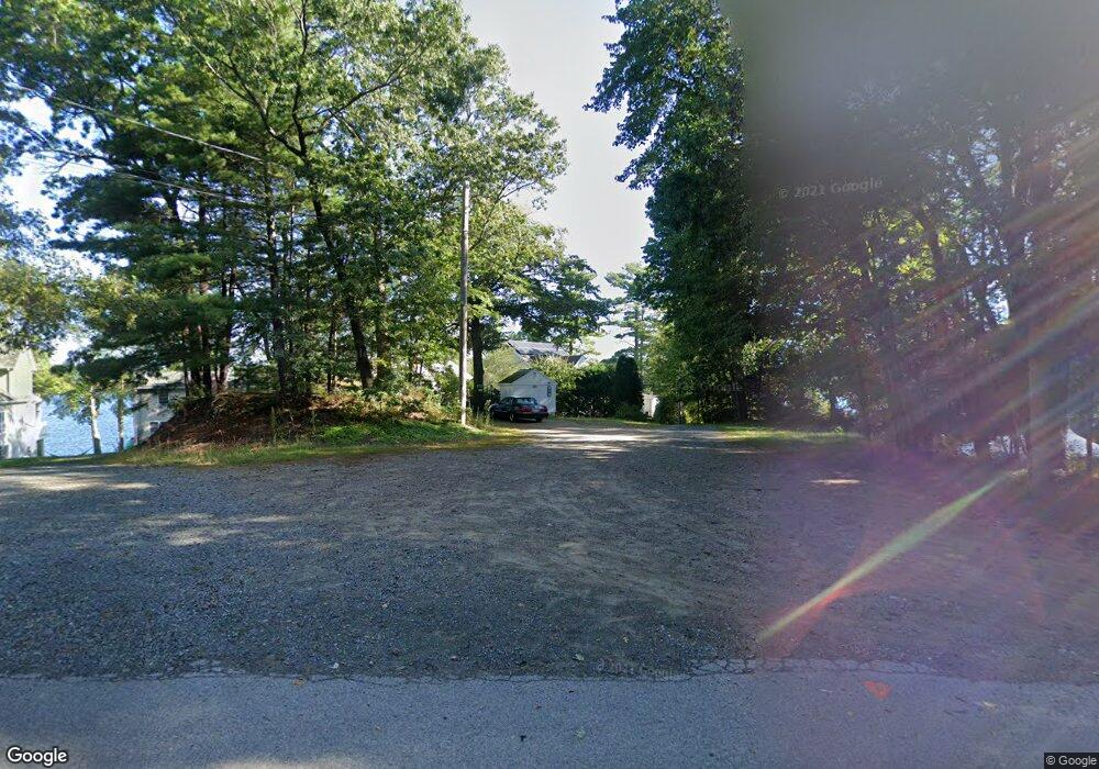
660 Eastside Rd Wrentham, MA 02093
Estimated Value: $825,000 - $1,030,000
3
Beds
1
Bath
1,500
Sq Ft
$614/Sq Ft
Est. Value
About This Home
This home is located at 660 Eastside Rd, Wrentham, MA 02093 and is currently estimated at $921,367, approximately $614 per square foot. 660 Eastside Rd is a home located in Norfolk County with nearby schools including Delaney Elementary School and Charles E Roderick.
Ownership History
Date
Name
Owned For
Owner Type
Purchase Details
Closed on
Sep 30, 2004
Sold by
Bessette Dorothy and Valente Louis
Bought by
Trasher Andrea J and Trasher David A
Current Estimated Value
Home Financials for this Owner
Home Financials are based on the most recent Mortgage that was taken out on this home.
Original Mortgage
$270,000
Interest Rate
5.81%
Mortgage Type
Purchase Money Mortgage
Purchase Details
Closed on
Jan 18, 2000
Sold by
Dalo Marie
Bought by
Valente Louis
Home Financials for this Owner
Home Financials are based on the most recent Mortgage that was taken out on this home.
Original Mortgage
$171,200
Interest Rate
7.79%
Mortgage Type
Purchase Money Mortgage
Create a Home Valuation Report for This Property
The Home Valuation Report is an in-depth analysis detailing your home's value as well as a comparison with similar homes in the area
Home Values in the Area
Average Home Value in this Area
Purchase History
| Date | Buyer | Sale Price | Title Company |
|---|---|---|---|
| Trasher Andrea J | $450,000 | -- | |
| Valente Louis | $214,000 | -- |
Source: Public Records
Mortgage History
| Date | Status | Borrower | Loan Amount |
|---|---|---|---|
| Open | Valente Louis | $240,000 | |
| Closed | Trasher Andrea J | $270,000 | |
| Previous Owner | Valente Louis | $182,000 | |
| Previous Owner | Valente Louis | $171,200 |
Source: Public Records
Tax History Compared to Growth
Tax History
| Year | Tax Paid | Tax Assessment Tax Assessment Total Assessment is a certain percentage of the fair market value that is determined by local assessors to be the total taxable value of land and additions on the property. | Land | Improvement |
|---|---|---|---|---|
| 2025 | $10,259 | $885,200 | $462,900 | $422,300 |
| 2024 | $10,468 | $872,300 | $462,900 | $409,400 |
| 2023 | $10,239 | $811,300 | $414,900 | $396,400 |
| 2022 | $8,333 | $609,600 | $341,300 | $268,300 |
| 2021 | $9,780 | $695,100 | $377,300 | $317,800 |
| 2020 | $9,475 | $664,900 | $384,000 | $280,900 |
| 2019 | $9,781 | $692,700 | $397,700 | $295,000 |
| 2018 | $9,447 | $663,400 | $399,400 | $264,000 |
| 2017 | $9,235 | $648,100 | $391,700 | $256,400 |
| 2016 | $9,061 | $634,500 | $380,400 | $254,100 |
| 2015 | $9,205 | $614,500 | $365,700 | $248,800 |
| 2014 | $8,756 | $571,900 | $351,700 | $220,200 |
Source: Public Records
Map
Nearby Homes
- Lot 3 - 14 Earle Stewart Ln
- Lot 1 - Blueberry 2 Car Plan at King Philip Estates
- Lot 8 - Blueberry 2 Car Plan at King Philip Estates
- Lot 5 - Hughes 2 car Plan at King Philip Estates
- Lot 6 - Blueberry 3 Car Plan at King Philip Estates
- Lot 2 - Camden 2 Car Plan at King Philip Estates
- Lot 7 - Cedar Plan at King Philip Estates
- Lot 4 - Hemingway 2 Car Plan at King Philip Estates
- Lot 3 - Blueberry 2 Car Plan at King Philip Estates
- 131 Creek St Unit 7
- 11 Earle Stewart Ln
- 570 Franklin St
- 791 South St Unit 5
- 10 Nature View Dr
- 15 Nature View Dr
- 319 Taunton St
- 440 Chestnut St
- 50 Reed Fulton Ave Unit Lot 61
- 270 Dedham St
- 155 Clark Rd Unit 155
- 650 Eastside Rd
- 670 Eastside Rd
- 640 Eastside Rd
- 680 Eastside Rd
- 690 Eastside Rd
- 610 Eastside Rd
- 700 Eastside Rd
- 600 Eastside Rd
- 590 Eastside Rd
- 710 Eastside Rd
- 580 Eastside Rd
- 550 Eastside Rd
- 735 Eastside Rd
- 720 Eastside Rd
- 560 Eastside Rd
- 730 Eastside Rd
- 540 Eastside Rd
- 530 Eastside Rd
- 740 Eastside Rd
- 540 E Side Rd