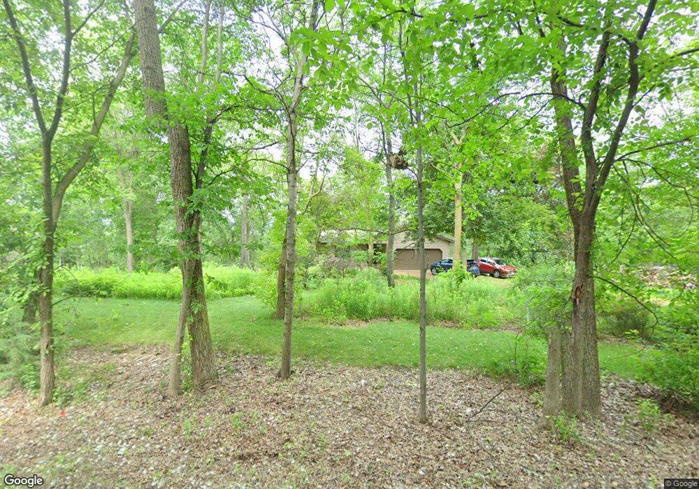
660 Edie Ln Hudson, WI 54016
Estimated Value: $406,000 - $469,000
Studio
--
Bath
--
Sq Ft
90,605
Sq Ft Lot
About This Home
This home is located at 660 Edie Ln, Hudson, WI 54016 and is currently estimated at $441,085. 660 Edie Ln is a home located in St. Croix County with nearby schools including River Crest Elementary School, Hudson Middle School, and Hudson High School.
Ownership History
Date
Name
Owned For
Owner Type
Purchase Details
Closed on
Apr 28, 2021
Sold by
Cook Bryan T and Cook Amy M
Bought by
Cook Bryan T and Cook Amy M
Current Estimated Value
Purchase Details
Closed on
Jun 30, 2005
Sold by
Smith Mary E
Bought by
Cook Bryan T
Home Financials for this Owner
Home Financials are based on the most recent Mortgage that was taken out on this home.
Original Mortgage
$172,800
Interest Rate
5.86%
Mortgage Type
New Conventional
Create a Home Valuation Report for This Property
The Home Valuation Report is an in-depth analysis detailing your home's value as well as a comparison with similar homes in the area
Home Values in the Area
Average Home Value in this Area
Purchase History
| Date | Buyer | Sale Price | Title Company |
|---|---|---|---|
| Cook Bryan T | -- | None Listed On Document | |
| Cook Bryan T | $216,000 | Title One Premier Group Inc |
Source: Public Records
Mortgage History
| Date | Status | Borrower | Loan Amount |
|---|---|---|---|
| Previous Owner | Cook Bryan T | $172,800 |
Source: Public Records
Tax History
| Year | Tax Paid | Tax Assessment Tax Assessment Total Assessment is a certain percentage of the fair market value that is determined by local assessors to be the total taxable value of land and additions on the property. | Land | Improvement |
|---|---|---|---|---|
| 2025 | $3,727 | $364,800 | $120,700 | $244,100 |
| 2024 | $36 | $364,800 | $120,700 | $244,100 |
| 2023 | $3,462 | $364,800 | $120,700 | $244,100 |
| 2022 | $3,327 | $251,300 | $85,600 | $165,700 |
| 2021 | $3,305 | $251,300 | $85,600 | $165,700 |
| 2020 | $3,201 | $251,300 | $85,600 | $165,700 |
| 2019 | $3,094 | $251,300 | $85,600 | $165,700 |
| 2018 | $2,922 | $251,300 | $85,600 | $165,700 |
| 2017 | $2,693 | $172,900 | $45,300 | $127,600 |
| 2016 | $2,693 | $172,900 | $45,300 | $127,600 |
| 2015 | $2,441 | $172,900 | $45,300 | $127,600 |
| 2014 | $2,295 | $172,900 | $45,300 | $127,600 |
| 2013 | $2,354 | $172,900 | $45,300 | $127,600 |
Source: Public Records
Map
Nearby Homes
- 640 Gilbert Rd
- XXX Gilbert Rd
- 665 Darnold Dr
- 671 Darnold Dr
- 701 Rodeo Dr
- 28 Heritage Blvd
- 12 Palomino Ct
- 14 Palomino Ct
- 20 Palomino Ct
- 708 Mojo Trail
- 117 Heirloom Ave
- 166 Bridgewater Trail
- 74 Stratford Way
- 127 Stratford Way Unit 6
- 740 Aldro Rd
- 728 Mojo Trail
- 696 Buttercup Ct
- 739 Magoo Rd
- 90th Tower Rd
- 786 Harlar Cir
Your Personal Tour Guide
Ask me questions while you tour the home.