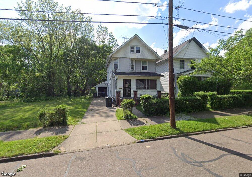
660 Fern St Akron, OH 44307
Sherbondy Hill NeighborhoodEstimated Value: $65,000 - $83,000
3
Beds
2
Baths
1,320
Sq Ft
$57/Sq Ft
Est. Value
About This Home
This home is located at 660 Fern St, Akron, OH 44307 and is currently estimated at $74,709, approximately $56 per square foot. 660 Fern St is a home located in Summit County with nearby schools including St. Bernard-St. Mary Elementary School.
Ownership History
Date
Name
Owned For
Owner Type
Purchase Details
Closed on
Aug 20, 2024
Sold by
Brown Robert L
Bought by
Donahue Michael J
Current Estimated Value
Purchase Details
Closed on
Aug 30, 2002
Sold by
Hargrove Doris O
Bought by
Brown Robert L
Home Financials for this Owner
Home Financials are based on the most recent Mortgage that was taken out on this home.
Original Mortgage
$31,000
Interest Rate
6.54%
Mortgage Type
VA
Create a Home Valuation Report for This Property
The Home Valuation Report is an in-depth analysis detailing your home's value as well as a comparison with similar homes in the area
Home Values in the Area
Average Home Value in this Area
Purchase History
| Date | Buyer | Sale Price | Title Company |
|---|---|---|---|
| Donahue Michael J | $23,000 | Innovative Title & Escrow Serv | |
| Brown Robert L | $31,000 | Multiple |
Source: Public Records
Mortgage History
| Date | Status | Borrower | Loan Amount |
|---|---|---|---|
| Previous Owner | Brown Robert L | $31,000 |
Source: Public Records
Tax History Compared to Growth
Tax History
| Year | Tax Paid | Tax Assessment Tax Assessment Total Assessment is a certain percentage of the fair market value that is determined by local assessors to be the total taxable value of land and additions on the property. | Land | Improvement |
|---|---|---|---|---|
| 2025 | $1,046 | $13,825 | $2,961 | $10,864 |
| 2024 | $1,046 | $13,825 | $2,961 | $10,864 |
| 2023 | $1,046 | $13,825 | $2,961 | $10,864 |
| 2022 | $708 | $8,887 | $1,740 | $7,147 |
| 2021 | $708 | $8,887 | $1,740 | $7,147 |
| 2020 | $699 | $8,890 | $1,740 | $7,150 |
| 2019 | $766 | $9,000 | $2,040 | $6,960 |
| 2018 | $708 | $9,000 | $2,040 | $6,960 |
| 2017 | $729 | $9,000 | $2,040 | $6,960 |
| 2016 | $1,790 | $9,130 | $2,040 | $7,090 |
| 2015 | $729 | $9,130 | $2,040 | $7,090 |
| 2014 | $723 | $9,130 | $2,040 | $7,090 |
| 2013 | $714 | $9,200 | $2,040 | $7,160 |
Source: Public Records
Map
Nearby Homes
- 639 Bellevue Ave
- 650 Easter Ave
- 670 Euclid Ave
- 677 Vernon Odom Blvd
- 817 Raymond St
- 737 Vernon Odom Blvd
- 577 Rhodes Ave
- 385 Campbell St
- 776 Krause Ct
- 644 Diagonal Rd
- 985 Diana Ave
- 1132 Bristol Terrace
- 853 Fried St
- 614 East Ave
- 568 Auld Farm Cir
- 605 East Ave
- 593 Hoye Ave
- 949 Raymond St
- 881 Stoner St
- 861 Glenn St