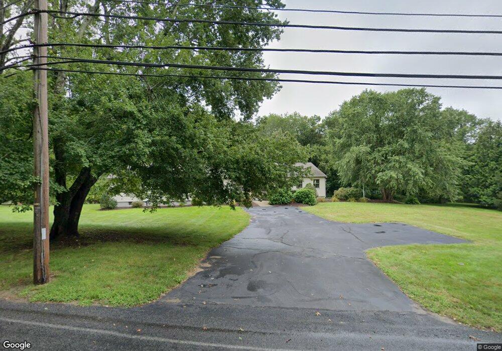
660 Gifford Rd Westport, MA 02790
Head of Westport NeighborhoodEstimated Value: $669,100 - $787,000
3
Beds
--
Bath
2,368
Sq Ft
$304/Sq Ft
Est. Value
About This Home
This home is located at 660 Gifford Rd, Westport, MA 02790 and is currently estimated at $720,775, approximately $304 per square foot. 660 Gifford Rd is a home located in Bristol County with nearby schools including Alice A. Macomber Primary School, Westport Elementary School, and Westport Middle-High School.
Ownership History
Date
Name
Owned For
Owner Type
Purchase Details
Closed on
Jul 30, 1986
Bought by
Harkins William M and Marmen Jacqueline F
Current Estimated Value
Create a Home Valuation Report for This Property
The Home Valuation Report is an in-depth analysis detailing your home's value as well as a comparison with similar homes in the area
Home Values in the Area
Average Home Value in this Area
Purchase History
| Date | Buyer | Sale Price | Title Company |
|---|---|---|---|
| Harkins William M | $34,900 | -- |
Source: Public Records
Mortgage History
| Date | Status | Borrower | Loan Amount |
|---|---|---|---|
| Open | Harkins William M | $120,648 | |
| Closed | Harkins William M | $120,648 | |
| Closed | Harkins William M | $80,000 | |
| Closed | Harkins William M | $80,000 |
Source: Public Records
Tax History Compared to Growth
Tax History
| Year | Tax Paid | Tax Assessment Tax Assessment Total Assessment is a certain percentage of the fair market value that is determined by local assessors to be the total taxable value of land and additions on the property. | Land | Improvement |
|---|---|---|---|---|
| 2025 | $4,235 | $568,500 | $200,400 | $368,100 |
| 2024 | $4,189 | $541,900 | $178,800 | $363,100 |
| 2023 | $4,165 | $510,400 | $163,500 | $346,900 |
| 2022 | $4,016 | $473,600 | $163,500 | $310,100 |
| 2021 | $3,847 | $446,300 | $136,200 | $310,100 |
| 2020 | $3,720 | $441,300 | $131,200 | $310,100 |
| 2019 | $3,825 | $462,500 | $131,200 | $331,300 |
| 2018 | $3,344 | $409,300 | $129,000 | $280,300 |
| 2017 | $3,162 | $396,700 | $125,300 | $271,400 |
| 2016 | $2,908 | $367,600 | $121,500 | $246,100 |
| 2015 | $2,676 | $337,400 | $124,000 | $213,400 |
Source: Public Records
Map
Nearby Homes
- 27 Dias Ave
- 4 Main Rd
- 96 Forge Rd
- 29 Union Ave
- 3 Roller Coaster Way Unit Lot 1
- 47 Fallon Dr
- 16 S Berryman St
- Lot 0 Marcotte
- 15 S Breault St
- 9 Kyle Jacob Rd
- 461 Reed Rd
- 0 Hidden Glen Ln
- 116 Gifford Rd
- 735 Reed Rd
- 118 Charlotte White Rd Extension
- 56 Lakeside Ave
- 0 Van Buren St
- 771 Sanford Rd
- 565 Highland Ave
- 118 Charlotte White Rd
- 676 Gifford Rd
- 644 Gifford Rd
- 641 Gifford Rd
- 631 Gifford Rd
- 634 Gifford Rd
- 625 Gifford Rd
- 625 Gifford Rd Unit 1N
- 625 Gifford Rd Unit 1M
- 625 Gifford Rd Unit 1S
- 625 Gifford Rd Unit 2M
- 621 Gifford Rd
- 706 Gifford Rd
- 615 Gifford Rd
- 610 Gifford Rd
- 607 Gifford Rd
- 601 Gifford Rd
- 733 Gifford Rd
- 595 Gifford Rd
- 588 Gifford Rd
- 589 Gifford Rd