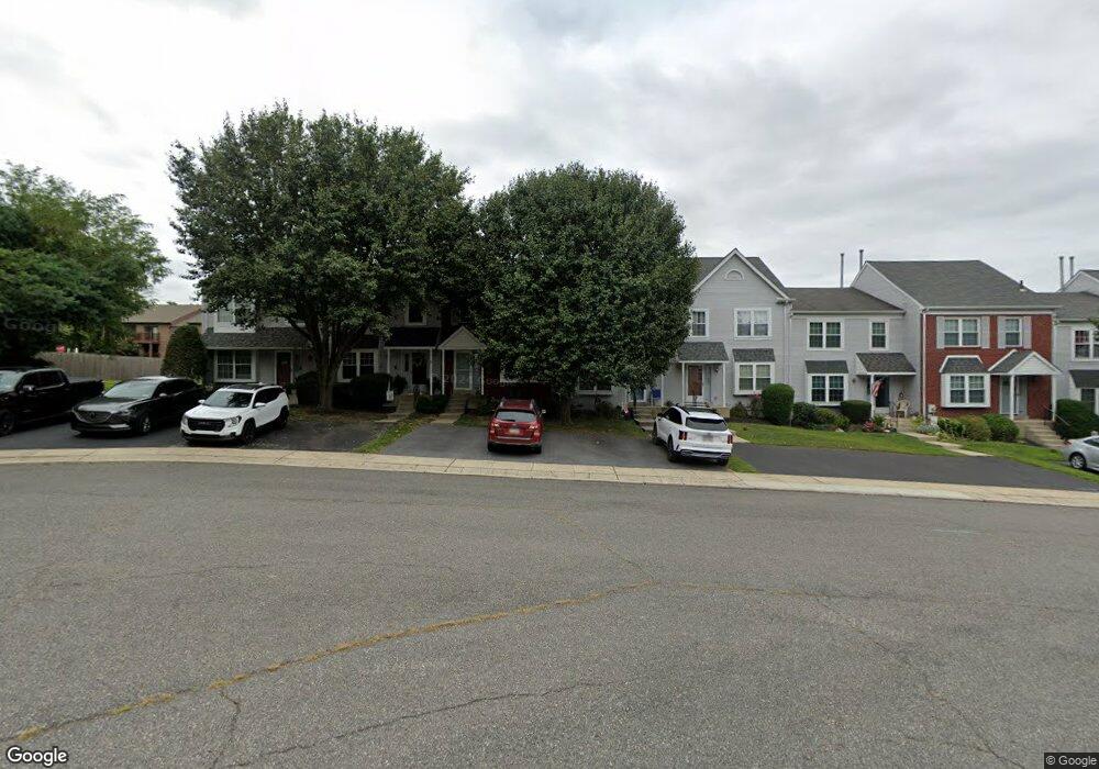
660 Kenney Ln Brookhaven, PA 19015
Estimated Value: $319,000 - $335,000
2
Beds
2
Baths
1,472
Sq Ft
$223/Sq Ft
Est. Value
About This Home
This home is located at 660 Kenney Ln, Brookhaven, PA 19015 and is currently estimated at $327,793, approximately $222 per square foot. 660 Kenney Ln is a home located in Delaware County with nearby schools including The Christian Academy.
Ownership History
Date
Name
Owned For
Owner Type
Purchase Details
Closed on
Sep 6, 1996
Sold by
Gorman David H and Gorman Bridget M
Bought by
Rackie Charles and Rackie Diane
Current Estimated Value
Home Financials for this Owner
Home Financials are based on the most recent Mortgage that was taken out on this home.
Original Mortgage
$101,650
Interest Rate
8.18%
Create a Home Valuation Report for This Property
The Home Valuation Report is an in-depth analysis detailing your home's value as well as a comparison with similar homes in the area
Home Values in the Area
Average Home Value in this Area
Purchase History
| Date | Buyer | Sale Price | Title Company |
|---|---|---|---|
| Rackie Charles | $107,000 | Commonwealth Land Title Ins |
Source: Public Records
Mortgage History
| Date | Status | Borrower | Loan Amount |
|---|---|---|---|
| Previous Owner | Rackie Charles | $101,650 |
Source: Public Records
Tax History
| Year | Tax Paid | Tax Assessment Tax Assessment Total Assessment is a certain percentage of the fair market value that is determined by local assessors to be the total taxable value of land and additions on the property. | Land | Improvement |
|---|---|---|---|---|
| 2025 | $4,754 | $184,430 | $43,010 | $141,420 |
| 2024 | $4,754 | $184,430 | $43,010 | $141,420 |
| 2023 | $4,561 | $184,430 | $43,010 | $141,420 |
| 2022 | $4,294 | $184,430 | $43,010 | $141,420 |
| 2021 | $6,704 | $184,430 | $43,010 | $141,420 |
| 2020 | $4,053 | $101,350 | $25,960 | $75,390 |
| 2019 | $3,974 | $101,350 | $25,960 | $75,390 |
| 2018 | $3,852 | $101,350 | $0 | $0 |
| 2017 | $3,770 | $101,350 | $0 | $0 |
| 2016 | $556 | $101,350 | $0 | $0 |
| 2015 | $568 | $101,350 | $0 | $0 |
| 2014 | $556 | $101,350 | $0 | $0 |
Source: Public Records
Map
Nearby Homes
- 5200 Hilltop Dr Unit A-13
- 5200 Hilltop Dr Unit EE1
- 5200 Hilltop Dr Unit 42
- 5200 Hilltop Dr Unit M16
- 5200 Hilltop Dr Unit O26
- 5200 Hilltop Dr Unit CC18
- 7202 Hilltop Dr Unit 6
- 205 Aucott Rd
- 93 Patricia Place
- 701 Cambridge Rd
- 102 Dundee Mills Ln Unit 74
- 604 Olde Farm Rd
- 711 W Brookhaven Rd
- 726 W Brookhaven Rd
- 1179 Putnam Blvd Unit 3
- 745 Windsor Place
- 113 Creekside Dr Unit 3
- 713 Scott Ln
- 4948 Greenwood St
- 123 E Knowlton Rd
Your Personal Tour Guide
Ask me questions while you tour the home.