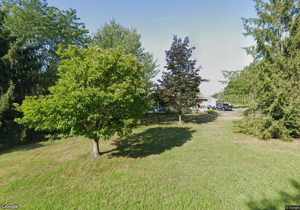
660 Mehring Rd Littlestown, PA 17340
Estimated Value: $381,630 - $422,000
4
Beds
2
Baths
2,127
Sq Ft
$191/Sq Ft
Est. Value
About This Home
This home is located at 660 Mehring Rd, Littlestown, PA 17340 and is currently estimated at $405,408, approximately $190 per square foot. 660 Mehring Rd is a home located in Adams County with nearby schools including Rolling Acres El School, Maple Avenue Middle School, and Littlestown Senior High School.
Ownership History
Date
Name
Owned For
Owner Type
Purchase Details
Closed on
Jan 23, 2023
Sold by
Bushey Roger A and Bushey Cynthia A
Bought by
Jung Craig Albert and Inkpen Jung Marylou
Current Estimated Value
Purchase Details
Closed on
Jun 8, 1984
Bought by
Bushey Roger A and Bushey Cynthia A
Create a Home Valuation Report for This Property
The Home Valuation Report is an in-depth analysis detailing your home's value as well as a comparison with similar homes in the area
Home Values in the Area
Average Home Value in this Area
Purchase History
| Date | Buyer | Sale Price | Title Company |
|---|---|---|---|
| Jung Craig Albert | $349,900 | Homesale Settlement Services | |
| Bushey Roger A | $63,000 | -- |
Source: Public Records
Tax History Compared to Growth
Tax History
| Year | Tax Paid | Tax Assessment Tax Assessment Total Assessment is a certain percentage of the fair market value that is determined by local assessors to be the total taxable value of land and additions on the property. | Land | Improvement |
|---|---|---|---|---|
| 2025 | $4,707 | $248,700 | $63,200 | $185,500 |
| 2024 | $4,500 | $248,700 | $63,200 | $185,500 |
| 2023 | $4,407 | $248,500 | $63,200 | $185,300 |
| 2022 | $4,405 | $248,500 | $63,200 | $185,300 |
| 2021 | $4,249 | $248,500 | $63,200 | $185,300 |
| 2020 | $4,188 | $248,500 | $63,200 | $185,300 |
| 2019 | $4,099 | $248,500 | $63,200 | $185,300 |
| 2018 | $4,010 | $248,500 | $63,200 | $185,300 |
| 2017 | $3,872 | $248,500 | $63,200 | $185,300 |
| 2016 | -- | $248,500 | $63,200 | $185,300 |
| 2015 | -- | $248,500 | $63,200 | $185,300 |
| 2014 | -- | $248,500 | $63,200 | $185,300 |
Source: Public Records
Map
Nearby Homes
- LOT 9 Mehring Rd
- 567 Lumber St
- 559 Lumber St
- 535 Lumber St
- 43 Ashfield Dr Unit 14
- 2100 Blacks School House Rd
- 241 M St
- 1 Hickory Ln
- 128 Pine Grove Rd Unit 3
- 41 Smith Cir
- 61 E King St
- 106 E King St
- 22 Cemetery St
- 115 Charles St
- 117 Charles St
- 893 Georgetown Rd
- 15 Yorktowne Ct Unit 97
- 700 Pine Grove Rd
- 1555 Humbert Schoolhouse Rd
- 162 Newark St
- 648 Mehring Rd Unit 5
- 670 Mehring Rd
- 651 Mehring Rd
- 635 Mehring Rd
- 690 Mehring Rd Unit 8
- 679 Mehring Rd Unit 3
- 25 Woodcrest Cir
- 35 Valleyview Dr Unit 22
- 610 Mehring Rd Unit 3
- 35 Woodcrest Cir Unit 24
- 693 Mehring Rd Unit 2
- 45 Valleyview Dr Unit 21
- 710 Mehring Rd
- 15 Woodcrest Cir Unit 20
- 709 Mehring Rd
- 590 Mehring Rd Unit 2
- 30 Woodcrest Cir Unit 25
- 530 Bollinger Rd
- 10 Woodcrest Cir Unit 19A