Estimated Value: $101,000 - $144,000
3
Beds
2
Baths
1,344
Sq Ft
$86/Sq Ft
Est. Value
About This Home
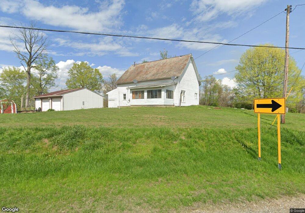
This home is located at 660 N State Route 377 NW, Malta, OH 43758 and is currently estimated at $116,162, approximately $86 per square foot. 660 N State Route 377 NW is a home located in Morgan County with nearby schools including Morgan High School.
Ownership History
Date
Name
Owned For
Owner Type
Purchase Details
Closed on
Sep 11, 2006
Sold by
Todd E Todd E and Wagoner Diana
Bought by
Fink Michael J
Current Estimated Value
Home Financials for this Owner
Home Financials are based on the most recent Mortgage that was taken out on this home.
Original Mortgage
$35,000
Outstanding Balance
$21,053
Interest Rate
6.7%
Mortgage Type
Purchase Money Mortgage
Estimated Equity
$95,109
Purchase Details
Closed on
Sep 29, 1992
Sold by
Wagoner Gene and Wagoner Jean
Bought by
Wagoner Gene and Wagoner Jean
Purchase Details
Closed on
Sep 16, 1992
Sold by
Malta Township
Bought by
Wagoner Gene and Wagoner Jean
Purchase Details
Closed on
Sep 1, 1992
Create a Home Valuation Report for This Property
The Home Valuation Report is an in-depth analysis detailing your home's value as well as a comparison with similar homes in the area
Home Values in the Area
Average Home Value in this Area
Purchase History
| Date | Buyer | Sale Price | Title Company |
|---|---|---|---|
| Fink Michael J | -- | -- | |
| Wagoner Gene | $39,000 | -- | |
| Wagoner Gene | -- | -- | |
| -- | $39,000 | -- |
Source: Public Records
Mortgage History
| Date | Status | Borrower | Loan Amount |
|---|---|---|---|
| Open | Fink Michael J | $35,000 |
Source: Public Records
Tax History Compared to Growth
Tax History
| Year | Tax Paid | Tax Assessment Tax Assessment Total Assessment is a certain percentage of the fair market value that is determined by local assessors to be the total taxable value of land and additions on the property. | Land | Improvement |
|---|---|---|---|---|
| 2024 | $716 | $22,330 | $5,300 | $17,030 |
| 2023 | $716 | $17,390 | $4,510 | $12,880 |
| 2022 | $558 | $17,390 | $4,510 | $12,880 |
| 2021 | $563 | $17,390 | $4,510 | $12,880 |
| 2019 | $513 | $15,110 | $3,920 | $11,190 |
| 2018 | $493 | $15,110 | $3,920 | $11,190 |
| 2017 | $540 | $16,206 | $3,399 | $12,807 |
| 2016 | $542 | $16,206 | $3,399 | $12,807 |
| 2015 | $541 | $16,206 | $3,399 | $12,807 |
| 2014 | $558 | $16,206 | $3,399 | $12,807 |
| 2013 | $554 | $16,206 | $3,399 | $12,807 |
Source: Public Records
Map
Nearby Homes
- 671 N State Route 377 NW
- 667 N State Route 377 NW
- 2427 W Coler Rd NW
- 870 N State Route 377 NW
- 538 Emmett John Ln
- 870 Ohio 377
- 961 N State Route 377 NW
- 961 N State Route 377 NW
- 330 Emmett John Ln
- 225 N Townsend Rd NW
- 1076 N State Route 377 NW
- 2255 W Hosom Rd NW
- 2185 W Hosom Rd NW
- 303 Emmett John Ln
- 1729 W Hosom Rd NW
- 90 N Townsend Rd NW
- 90 N Townsend Rd NW
- 2505 W Hosom Rd NW
- 2136 W Hosom Rd NW
- 2136 W Hosom Rd NW