660 Point Judith Rd Unit A1 Narragansett, RI 02882
Estimated Value: $477,000 - $499,000
2
Beds
2
Baths
1,173
Sq Ft
$416/Sq Ft
Est. Value
About This Home
This home is located at 660 Point Judith Rd Unit A1, Narragansett, RI 02882 and is currently estimated at $487,936, approximately $415 per square foot. 660 Point Judith Rd Unit A1 is a home located in Washington County with nearby schools including Narragansett Elementary School, Narragansett Pier Middle School, and Narragansett High School.
Ownership History
Date
Name
Owned For
Owner Type
Purchase Details
Closed on
Sep 24, 2015
Sold by
Wilkinson Dennis M
Bought by
Wilkinson Dennis M
Current Estimated Value
Purchase Details
Closed on
Sep 3, 2002
Sold by
Toupin Angela M
Bought by
Wilkinson Dennis M
Home Financials for this Owner
Home Financials are based on the most recent Mortgage that was taken out on this home.
Original Mortgage
$151,900
Interest Rate
6.55%
Purchase Details
Closed on
Nov 26, 1990
Sold by
Wigton Barry V
Bought by
Monk John B
Home Financials for this Owner
Home Financials are based on the most recent Mortgage that was taken out on this home.
Original Mortgage
$89,600
Interest Rate
10.19%
Create a Home Valuation Report for This Property
The Home Valuation Report is an in-depth analysis detailing your home's value as well as a comparison with similar homes in the area
Home Values in the Area
Average Home Value in this Area
Purchase History
| Date | Buyer | Sale Price | Title Company |
|---|---|---|---|
| Wilkinson Dennis M | -- | -- | |
| Wilkinson Dennis M | $189,000 | -- | |
| Monk John B | $112,000 | -- |
Source: Public Records
Mortgage History
| Date | Status | Borrower | Loan Amount |
|---|---|---|---|
| Previous Owner | Monk John B | $151,900 | |
| Previous Owner | Monk John B | $89,600 |
Source: Public Records
Tax History Compared to Growth
Tax History
| Year | Tax Paid | Tax Assessment Tax Assessment Total Assessment is a certain percentage of the fair market value that is determined by local assessors to be the total taxable value of land and additions on the property. | Land | Improvement |
|---|---|---|---|---|
| 2025 | $2,643 | $389,300 | $0 | $389,300 |
| 2024 | $2,550 | $389,300 | $0 | $389,300 |
| 2023 | $2,357 | $253,200 | $0 | $253,200 |
| 2022 | $2,279 | $253,200 | $0 | $253,200 |
| 2021 | $2,243 | $253,200 | $0 | $253,200 |
| 2020 | $2,400 | $229,000 | $0 | $229,000 |
| 2019 | $2,343 | $229,000 | $0 | $229,000 |
| 2018 | $2,279 | $229,000 | $0 | $229,000 |
| 2017 | $2,063 | $195,400 | $0 | $195,400 |
| 2016 | $1,970 | $195,400 | $0 | $195,400 |
| 2015 | $1,942 | $195,400 | $0 | $195,400 |
| 2014 | $2,189 | $218,000 | $0 | $218,000 |
Source: Public Records
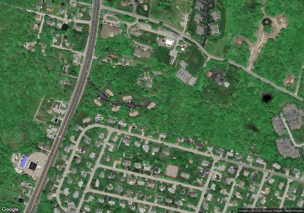
Map
Nearby Homes
- 580 Point Judith Rd
- 576 Point Judith Rd
- 64 Burnside Ave
- 813 Ocean Rd
- 815 Ocean Rd
- 811 Ocean Rd
- 60 Daytona Ave
- 62 Daytona Ave
- 18 Greenbrier Rd
- 17 Goose Island Rd
- 103 Cedar Island Rd
- 0 Point Judith Rd
- 25 Scallop Shell Rd
- 0 Houston Ave
- 0 Hemlock Ave
- 124 Houston Ave
- 0 Hazard Ave
- 1125 Point Judith Rd Unit D4
- 89 Sand Hill Cove Rd
- 27 Westmoreland St
- 660 Point Judith Rd Unit B1
- 660 Point Judith Rd Unit F1
- 660 Point Judith Rd Unit F4
- 660 Point Judith Rd Unit A2
- 660 Point Judith Rd Unit C3
- 660 Point Judith Rd Unit E1
- 660 Point Judith Rd Unit E2
- 660 Point Judith Rd Unit D3
- 660 Point Judith Rd Unit B3
- 660 Point Judith Rd Unit B2
- 660 Point Judith Rd Unit F3
- 660 Point Judith Rd Unit F2
- 660 Point Judith Rd Unit E4
- 660 Point Judith Rd Unit E3
- 660 Point Judith Rd Unit D4
- 660 Point Judith Rd Unit D1
- 660 Point Judith Rd Unit C4
- 660 Point Judith Rd Unit C2
- 660 Point Judith Rd Unit C1
- 660 Point Judith Rd Unit B4