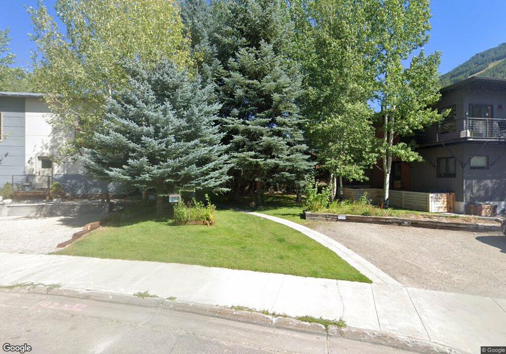
660 S Millward St Unit 1 Jackson, WY 83001
Estimated Value: $736,000 - $872,707
2
Beds
1
Bath
756
Sq Ft
$1,086/Sq Ft
Est. Value
About This Home
This home is located at 660 S Millward St Unit 1, Jackson, WY 83001 and is currently estimated at $820,902, approximately $1,085 per square foot. 660 S Millward St Unit 1 is a home located in Teton County with nearby schools including Jackson Elementary School, Jackson Hole Middle School, and Jackson Hole High School.
Ownership History
Date
Name
Owned For
Owner Type
Purchase Details
Closed on
Sep 8, 2022
Sold by
Maffei Robin
Bought by
Robin C Maffei 2020 Revocable Trust and Maffei
Current Estimated Value
Purchase Details
Closed on
Sep 21, 2009
Sold by
Miles Gregory R
Bought by
Walker Jason and Walker Jennifer
Home Financials for this Owner
Home Financials are based on the most recent Mortgage that was taken out on this home.
Original Mortgage
$31,500
Interest Rate
5.2%
Mortgage Type
Stand Alone Second
Create a Home Valuation Report for This Property
The Home Valuation Report is an in-depth analysis detailing your home's value as well as a comparison with similar homes in the area
Home Values in the Area
Average Home Value in this Area
Purchase History
| Date | Buyer | Sale Price | Title Company |
|---|---|---|---|
| Robin C Maffei 2020 Revocable Trust | -- | None Listed On Document | |
| Walker Jason | -- | Jackson Hole Title & Escrow |
Source: Public Records
Mortgage History
| Date | Status | Borrower | Loan Amount |
|---|---|---|---|
| Previous Owner | Walker Jason | $31,500 |
Source: Public Records
Tax History Compared to Growth
Tax History
| Year | Tax Paid | Tax Assessment Tax Assessment Total Assessment is a certain percentage of the fair market value that is determined by local assessors to be the total taxable value of land and additions on the property. | Land | Improvement |
|---|---|---|---|---|
| 2025 | $4,286 | $59,473 | $2,821 | $56,652 |
| 2024 | $4,286 | $76,392 | $3,762 | $72,630 |
| 2023 | $4,180 | $74,333 | $3,762 | $70,571 |
| 2022 | $4,193 | $74,900 | $3,762 | $71,138 |
| 2021 | $2,445 | $42,909 | $3,762 | $39,147 |
| 2020 | $2,323 | $41,500 | $3,762 | $37,738 |
| 2019 | $1,300 | $22,779 | $3,762 | $19,017 |
| 2018 | $1,225 | $21,593 | $3,762 | $17,831 |
| 2017 | $1,219 | $21,031 | $3,762 | $17,269 |
| 2016 | $1,220 | $21,052 | $3,762 | $17,290 |
| 2015 | $871 | $16,673 | $3,762 | $12,911 |
| 2014 | $871 | $15,054 | $3,762 | $11,292 |
| 2013 | $871 | $15,054 | $3,762 | $11,292 |
Source: Public Records
Map
Nearby Homes
- 207 W Snow King Ave
- 645 S Glenwood St
- 512 S Millward St
- 310 Aspen Dr
- 20 W Karns Ave
- 680 S Cache St Unit 402
- 355 W Karns Ave
- 222 Pine Glades Dr
- 420 W Kelly Ave
- 110 & 120 W Hansen Ave
- 475 W Kelly Ave
- 665 Rodeo Dr
- 110 S Willow St
- 371 Snow King Loop
- 701 Rodeo Dr
- 165 N Glenwood St Unit 29
- 165 N Glenwood St Unit 23
- 165 N Glenwood St Unit 30
- 165 N Glenwood St Unit 31
- 165 N Glenwood St Unit 28
- 660 S Millward St Unit 3
- 652 S Millward St
- 664 S Millward St
- 662 S Millward St
- 654 S Millward St
- 157 Aspen Dr
- 665 S Glenwood St
- 163 Aspen Dr
- 670 S Millward St
- 632 S Millward St
- 630 S Millward St
- 672 S Millward St
- 655 S Glenwood St
- 675 S Glenwood St
- 663 S Glenwood St
- 155 Aspen Dr
- 161 Aspen Dr
- 165 Aspen Dr
- 655 S Millward St
- 635 S Millward St Unit 4