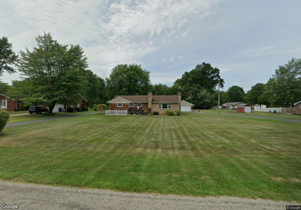
660 Smyth Ave Alliance, OH 44601
Estimated Value: $211,000 - $264,000
3
Beds
2
Baths
1,490
Sq Ft
$161/Sq Ft
Est. Value
About This Home
This home is located at 660 Smyth Ave, Alliance, OH 44601 and is currently estimated at $239,357, approximately $160 per square foot. 660 Smyth Ave is a home located in Stark County with nearby schools including Marlington High School and Regina Coeli/St Joseph School.
Ownership History
Date
Name
Owned For
Owner Type
Purchase Details
Closed on
Nov 23, 2015
Sold by
Oney Lawrence T and Oney Larry R
Bought by
Onley Family Trust
Current Estimated Value
Purchase Details
Closed on
Feb 7, 2013
Sold by
Oney Dorothy I
Bought by
Oney Lawrence T and Oney Patrice F
Purchase Details
Closed on
Mar 14, 2001
Sold by
Oney and Dorothy
Bought by
Oney Lawrence T and Keffer Linda
Create a Home Valuation Report for This Property
The Home Valuation Report is an in-depth analysis detailing your home's value as well as a comparison with similar homes in the area
Purchase History
| Date | Buyer | Sale Price | Title Company |
|---|---|---|---|
| Onley Family Trust | -- | Attorney | |
| Oney Lawrence T | $15,600 | None Available | |
| Oney Lawrence T | -- | -- |
Source: Public Records
Tax History
| Year | Tax Paid | Tax Assessment Tax Assessment Total Assessment is a certain percentage of the fair market value that is determined by local assessors to be the total taxable value of land and additions on the property. | Land | Improvement |
|---|---|---|---|---|
| 2025 | -- | $77,920 | $26,290 | $51,630 |
| 2024 | -- | $77,920 | $26,290 | $51,630 |
| 2023 | $1,604 | $53,000 | $18,520 | $34,480 |
| 2022 | $1,565 | $53,000 | $18,520 | $34,480 |
| 2021 | $1,570 | $53,000 | $18,520 | $34,480 |
| 2020 | $1,451 | $45,190 | $15,960 | $29,230 |
| 2019 | $1,441 | $45,190 | $15,960 | $29,230 |
Source: Public Records
Map
Nearby Homes
- 550 Johnson Ave
- 432 Johnson Ave
- 347 Buckeye Ave
- 000 Meadowbrook Ave
- 0 Meadowbrook Ave
- 0 W Main St Unit 5090123
- 0 Meadow St NE
- 10580 Heltman Ave NE
- 11335 Meadowbrook Ave NE
- 0 Homestead Ave NE
- 160 Bonnieview Ave
- 664 Fairview Place
- 717 Garfield Ave
- 118 S Mckinley Ave
- 479 W High St
- 264 W Market St
- 535 S Mckinley Ave
- 171 1/2 W Main St
- 163 W Market St
- 1044 Glamorgan St
- 630 Smyth Ave
- 702 Smyth Ave
- 1496 Lambert St
- 600 Smyth Ave
- 1497 Lambert St
- 722 Smyth Ave
- 537 Smyth Ave
- 1542 W Vine St NE
- 540 Smyth Ave
- 1488 Lambert St
- 760 Smyth Ave
- 1489 Mishler Ave
- 1489 Mishler St NE
- 1485 Lambert St
- 1485 Mishler Ave
- 520 Smyth Ave
- 757 Smyth Ave
- 1484 Lambert St
- 1496 Mishler Ave
- 1484 Mishler Ave
Your Personal Tour Guide
Ask me questions while you tour the home.