660 Straffan Dr Unit 205 Lutherville Timonium, MD 21093
Falls Road Corridor NeighborhoodEstimated Value: $413,000 - $490,000
--
Bed
2
Baths
1,821
Sq Ft
$257/Sq Ft
Est. Value
About This Home
This home is located at 660 Straffan Dr Unit 205, Lutherville Timonium, MD 21093 and is currently estimated at $468,264, approximately $257 per square foot. 660 Straffan Dr Unit 205 is a home located in Baltimore County with nearby schools including Mays Chapel Elementary School, Ridgely Middle, and Dulaney High School.
Ownership History
Date
Name
Owned For
Owner Type
Purchase Details
Closed on
Nov 10, 2022
Sold by
Padousis Katherine P
Bought by
Makres Perianne
Current Estimated Value
Purchase Details
Closed on
Jan 26, 2018
Sold by
Padousis Katherine P
Bought by
Padousis Katherine P and Padousis John E
Purchase Details
Closed on
Nov 21, 2001
Sold by
Straffan Corporation
Bought by
Padousis Katherine P
Create a Home Valuation Report for This Property
The Home Valuation Report is an in-depth analysis detailing your home's value as well as a comparison with similar homes in the area
Home Values in the Area
Average Home Value in this Area
Purchase History
| Date | Buyer | Sale Price | Title Company |
|---|---|---|---|
| Makres Perianne | -- | -- | |
| Makres Perianne | -- | None Listed On Document | |
| Padousis Katherine P | -- | None Available | |
| Padousis Katherine P | $206,900 | -- |
Source: Public Records
Tax History Compared to Growth
Tax History
| Year | Tax Paid | Tax Assessment Tax Assessment Total Assessment is a certain percentage of the fair market value that is determined by local assessors to be the total taxable value of land and additions on the property. | Land | Improvement |
|---|---|---|---|---|
| 2025 | $5,349 | $405,000 | $80,000 | $325,000 |
| 2024 | $5,349 | $378,333 | $0 | $0 |
| 2023 | $2,571 | $351,667 | $0 | $0 |
| 2022 | $4,888 | $325,000 | $80,000 | $245,000 |
| 2021 | $4,380 | $321,667 | $0 | $0 |
| 2020 | $3,858 | $318,333 | $0 | $0 |
| 2019 | $3,818 | $315,000 | $80,000 | $235,000 |
| 2018 | $4,351 | $298,333 | $0 | $0 |
| 2017 | $3,923 | $281,667 | $0 | $0 |
| 2016 | $3,584 | $265,000 | $0 | $0 |
| 2015 | $3,584 | $261,667 | $0 | $0 |
| 2014 | $3,584 | $258,333 | $0 | $0 |
Source: Public Records
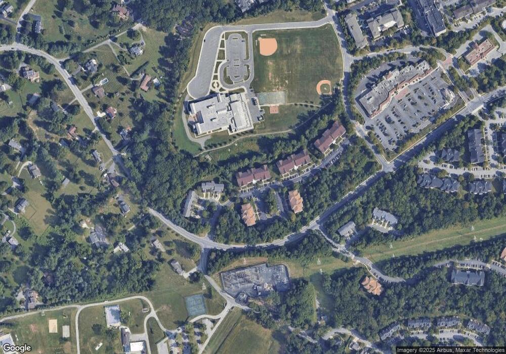
Map
Nearby Homes
- 661 Straffan Dr Unit 401
- 600 Straffan Dr Unit 402
- 12108 Tullamore Ct Unit 204
- 621 Dunloy Ct
- 609 Dunloy Ct
- 12111 Tullamore Ct Unit 101
- 12240 Roundwood Rd Unit 704
- 12240 Roundwood Rd Unit 410
- 12240 Roundwood Rd Unit 301
- 12246 Roundwood Rd Unit 304
- 12201 Burncourt Rd Unit 302
- 405 Plumbridge Ct Unit 204
- 814 W Padonia Rd
- 640 Lavenham Ct
- 6 Tenby Ct
- 734 Chapel Ridge Rd
- 12330 Rosslare Ridge Rd Unit 108
- 11851 Sherbourne Dr
- 10 Bandon Ct Unit 302
- 704 Chapel Ridge Rd
- 660 Straffan Dr Unit 302
- 660 Straffan Dr Unit 202
- 660 Straffan Dr Unit 402
- 660 Straffan Dr Unit 303
- 660 Straffan Dr Unit 301
- 660 Straffan Dr Unit 206
- 660 Straffan Dr Unit 106
- 660 Straffan Dr Unit 201
- 660 Straffan Dr Unit 203
- 660 Straffan Dr Unit 401
- 660 Straffan Dr Unit 404
- 660 Straffan Dr Unit 105
- 660 Straffan Dr Unit 403
- 660 Straffan Dr Unit 304
- 660 Straffan Dr Unit 405
- 660 Straffan Dr Unit 204
- 660 Straffan Dr Unit 104
- 660 Straffan Dr Unit 103
- 660 Straffan Dr Unit 102
- 660 Straffan Dr Unit 101