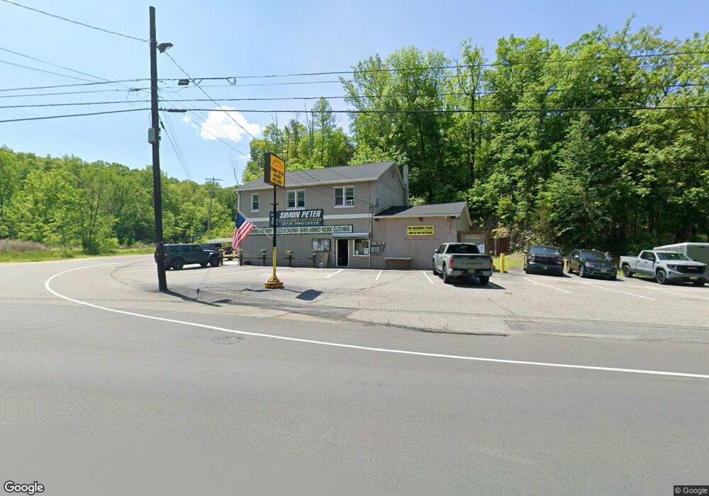
660 Us Highway 206 S Newton, NJ 07860
Andover Township NeighborhoodEstimated Value: $620,000
--
Bed
--
Bath
3,472
Sq Ft
$179/Sq Ft
Est. Value
About This Home
This home is located at 660 Us Highway 206 S, Newton, NJ 07860 and is currently estimated at $620,000, approximately $178 per square foot. 660 Us Highway 206 S is a home with nearby schools including Florence M. Burd School, Long Pond School, and Lakeland Andover School.
Ownership History
Date
Name
Owned For
Owner Type
Purchase Details
Closed on
Nov 26, 1996
Sold by
Peter Richard and Peter Donna Lee
Bought by
Peter Richard and Peter Terri W
Current Estimated Value
Home Financials for this Owner
Home Financials are based on the most recent Mortgage that was taken out on this home.
Original Mortgage
$103,366
Interest Rate
8%
Mortgage Type
Commercial
Create a Home Valuation Report for This Property
The Home Valuation Report is an in-depth analysis detailing your home's value as well as a comparison with similar homes in the area
Home Values in the Area
Average Home Value in this Area
Purchase History
| Date | Buyer | Sale Price | Title Company |
|---|---|---|---|
| Peter Richard | $137,000 | -- |
Source: Public Records
Mortgage History
| Date | Status | Borrower | Loan Amount |
|---|---|---|---|
| Closed | Peter Richard | $103,366 |
Source: Public Records
Tax History Compared to Growth
Tax History
| Year | Tax Paid | Tax Assessment Tax Assessment Total Assessment is a certain percentage of the fair market value that is determined by local assessors to be the total taxable value of land and additions on the property. | Land | Improvement |
|---|---|---|---|---|
| 2025 | $15,032 | $356,800 | $313,300 | $43,500 |
| 2024 | $14,490 | $356,800 | $313,300 | $43,500 |
| 2023 | $14,490 | $356,800 | $313,300 | $43,500 |
| 2022 | $13,887 | $356,800 | $313,300 | $43,500 |
| 2021 | $13,687 | $356,800 | $313,300 | $43,500 |
| 2020 | $13,334 | $356,800 | $313,300 | $43,500 |
| 2019 | $13,023 | $356,800 | $313,300 | $43,500 |
| 2018 | $12,820 | $356,800 | $313,300 | $43,500 |
| 2017 | $12,545 | $356,800 | $313,300 | $43,500 |
| 2016 | $12,142 | $356,800 | $313,300 | $43,500 |
| 2015 | $12,538 | $352,000 | $182,500 | $169,500 |
| 2014 | $12,267 | $352,000 | $182,500 | $169,500 |
Source: Public Records
Map
Nearby Homes
- 7 Martin St
- 285 Stickles Pond Rd
- 17 Youngs Rd
- 0 Martin St
- 15 Bernard Dr
- 13 Hemlock Ave
- 3 Smith St
- 25 Prospect Ave
- 68 & 70 Goodale Rd (5 9 Acres)
- 5 Railroad Ave
- 107 Overlook Rd
- 8 Brighton Ave
- 70 Goodale Rd
- 5 Percy Place
- 11 Betony Ct
- 66 Paterson Ave
- 219 Woodside Ave
- 14 Luchetti Way
- 30 Linmor Ave
- 36 Paterson Ave
- 661 Us Highway 206 S
- 667 U S 206
- 667 U S 206 Unit 667
- 641 Route 206
- 20 Brighton Rd
- 667 Us Highway 206 S
- 667 Route 206 Unit 1
- 667 Route 206
- 625 Us Highway 206 S
- 30 Brighton Rd
- 690 Us Highway 206 S
- 690 Route 206 N
- 692 U S 206
- 665 Us Highway 206 S
- 692 Route 206 N
- 695 U S 206 Unit 695
- 45 Brighton Rd
- 515 Us-206
- 6 Lew May Dr
- 55 Brighton Rd