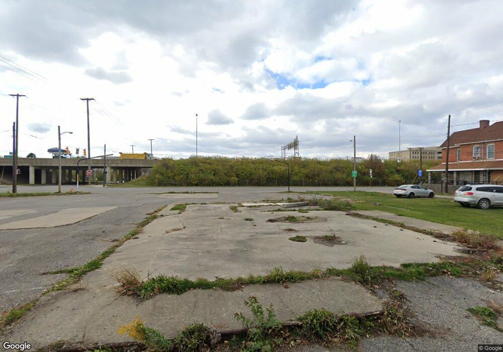
660 W Rich St Columbus, OH 43215
East Franklinton Neighborhood
--
Bed
--
Bath
1,247
Sq Ft
0.33
Acres
About This Home
This home is located at 660 W Rich St, Columbus, OH 43215. 660 W Rich St is a home located in Franklin County with nearby schools including Starling PK-8, Sullivant Elementary School, and West High School.
Ownership History
Date
Name
Owned For
Owner Type
Purchase Details
Closed on
Jun 1, 2022
Sold by
Nwc San-Rich Llc
Bought by
Pilot Dogs Incorporated
Purchase Details
Closed on
Dec 23, 2008
Sold by
Pardi Charles J
Bought by
Kahoun Errol R
Purchase Details
Closed on
Dec 10, 1987
Bought by
Rybski Melinda F
Purchase Details
Closed on
May 1, 1985
Create a Home Valuation Report for This Property
The Home Valuation Report is an in-depth analysis detailing your home's value as well as a comparison with similar homes in the area
Home Values in the Area
Average Home Value in this Area
Purchase History
| Date | Buyer | Sale Price | Title Company |
|---|---|---|---|
| Pilot Dogs Incorporated | $1,098,000 | Omni Title | |
| Kahoun Errol R | $117,500 | Talon Group | |
| Ribka Llc | -- | Talon Group | |
| Ribka Llc | -- | Talon Group | |
| Rybski Melinda F | $61,000 | -- | |
| -- | $50,000 | -- |
Source: Public Records
Tax History Compared to Growth
Tax History
| Year | Tax Paid | Tax Assessment Tax Assessment Total Assessment is a certain percentage of the fair market value that is determined by local assessors to be the total taxable value of land and additions on the property. | Land | Improvement |
|---|---|---|---|---|
| 2024 | $1,367 | $18,420 | $16,210 | $2,210 |
| 2023 | $1,346 | $18,410 | $16,205 | $2,205 |
| 2022 | $1,279 | $17,050 | $14,530 | $2,520 |
| 2021 | $1,284 | $17,050 | $14,530 | $2,520 |
| 2020 | $1,275 | $17,050 | $14,530 | $2,520 |
| 2019 | $1,223 | $14,850 | $12,640 | $2,210 |
| 2018 | $1,250 | $14,850 | $12,640 | $2,210 |
| 2017 | $1,222 | $14,850 | $12,640 | $2,210 |
| 2016 | $1,380 | $15,860 | $12,640 | $3,220 |
| 2015 | $1,281 | $15,860 | $12,640 | $3,220 |
| 2014 | $1,281 | $15,860 | $12,640 | $3,220 |
| 2013 | $635 | $15,855 | $12,635 | $3,220 |
Source: Public Records
Map
Nearby Homes
- 609 W Rich St Unit 609
- 601 W Rich St Unit 601
- 245 S Skidmore St
- 251 S Skidmore St Unit 251
- 273 S Grubb St Unit 273
- 546 W Town St
- 550 W Town St
- 538 W Town St
- 536 W Town St
- 642 W State St
- 502 W Town St
- 763 W Rich St
- 772 Sullivant Ave Unit 772
- 839 W Rich St
- 765 Campbell Ave
- 760 Thomas Ave
- 791 Campbell Ave
- 870-872 Sullivant Ave
- 45 N Hartford Ave
- 49 S Hartford Ave
- 202 S Sandusky St Unit 204
- 211 S Grubb St Unit 213
- 194 S Sandusky St
- 203 S Grubb St
- 640 W Rich St
- 184 S Sandusky St
- 212 S Grubb St
- 216 S Grubb St
- 667 W Town St
- 208 S Grubb St
- 651 W Town St
- 665 W Town St
- 241 S Grubb St
- 630 W Rich St
- 629 W Rich St
- 245 S Grubb St
- 238 S Grubb St
- 253 S Grubb St
- 246 S Grubb St
- 257 S Grubb St
