Estimated Value: $173,376 - $226,000
4
Beds
1
Bath
1,008
Sq Ft
$190/Sq Ft
Est. Value
About This Home
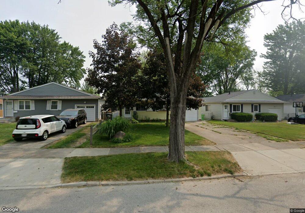
This home is located at 660 Wesley Dr, Berea, OH 44017 and is currently estimated at $191,594, approximately $190 per square foot. 660 Wesley Dr is a home located in Cuyahoga County with nearby schools including Grindstone Elementary School, Berea-Midpark Middle School, and Berea-Midpark High School.
Ownership History
Date
Name
Owned For
Owner Type
Purchase Details
Closed on
Jun 29, 2005
Sold by
Hopp Ronald M and Hopp Louise K
Bought by
Hopp Ronald M
Current Estimated Value
Home Financials for this Owner
Home Financials are based on the most recent Mortgage that was taken out on this home.
Original Mortgage
$103,377
Outstanding Balance
$54,277
Interest Rate
5.75%
Mortgage Type
FHA
Estimated Equity
$137,317
Purchase Details
Closed on
May 13, 1985
Sold by
Hopp Ronald M and Hopp Louise C
Bought by
Hopp Ronald M and Hopp Louise C
Purchase Details
Closed on
Jan 1, 1975
Bought by
Hopp Ronald M and Hopp Louise C
Create a Home Valuation Report for This Property
The Home Valuation Report is an in-depth analysis detailing your home's value as well as a comparison with similar homes in the area
Home Values in the Area
Average Home Value in this Area
Purchase History
| Date | Buyer | Sale Price | Title Company |
|---|---|---|---|
| Hopp Ronald M | $105,000 | Midland Title Agency | |
| Hopp Ronald M | -- | -- | |
| Hopp Ronald M | -- | -- |
Source: Public Records
Mortgage History
| Date | Status | Borrower | Loan Amount |
|---|---|---|---|
| Open | Hopp Ronald M | $103,377 |
Source: Public Records
Tax History
| Year | Tax Paid | Tax Assessment Tax Assessment Total Assessment is a certain percentage of the fair market value that is determined by local assessors to be the total taxable value of land and additions on the property. | Land | Improvement |
|---|---|---|---|---|
| 2024 | $3,051 | $42,735 | $10,850 | $31,885 |
| 2023 | $2,921 | $42,290 | $9,420 | $32,870 |
| 2022 | $2,902 | $42,280 | $9,420 | $32,870 |
| 2021 | $2,878 | $42,280 | $9,420 | $32,870 |
| 2020 | $2,749 | $35,840 | $7,980 | $27,860 |
| 2019 | $2,676 | $102,400 | $22,800 | $79,600 |
| 2018 | $2,477 | $35,840 | $7,980 | $27,860 |
| 2017 | $2,465 | $30,810 | $6,690 | $24,120 |
| 2016 | $2,447 | $30,810 | $6,690 | $24,120 |
| 2015 | $2,244 | $30,810 | $6,690 | $24,120 |
| 2014 | $2,244 | $29,900 | $6,480 | $23,420 |
Source: Public Records
Map
Nearby Homes
- 725 Shakespeare Dr
- 487 Karen Dr
- 445 Berea St
- 93 W 5th Ave
- 41 W 5th Ave
- 6574 Burton Dr
- 56 3rd Ave
- 428 Park Place
- 379 Laurel Dr
- 20415 Brookstone Trail
- 446 Redwood Dr
- 146 Marian Ln
- 211 W Bridge St
- 160 Marian Ln Unit 6A
- 0 E Bagley Rd Unit 5111166
- 209 Gibson St
- 57 Riverside Dr
- 216 Kraft St
- 47 Prospect St
- 160 Stonepointe Dr
Your Personal Tour Guide
Ask me questions while you tour the home.