660 White Pine Rd Catawba, SC 29704
Estimated Value: $341,000 - $411,000
3
Beds
3
Baths
1,950
Sq Ft
$192/Sq Ft
Est. Value
About This Home
This home is located at 660 White Pine Rd, Catawba, SC 29704 and is currently estimated at $373,565, approximately $191 per square foot. 660 White Pine Rd is a home located in York County with nearby schools including Mount Holly Elementary School, Castle Heights Middle School, and Rock Hill High School.
Ownership History
Date
Name
Owned For
Owner Type
Purchase Details
Closed on
Jul 23, 2014
Sold by
Phillips Dennis L and Phillips Pamela B
Bought by
Thomas David W and Thomas Nancy W
Current Estimated Value
Home Financials for this Owner
Home Financials are based on the most recent Mortgage that was taken out on this home.
Original Mortgage
$156,750
Outstanding Balance
$119,183
Interest Rate
4.19%
Mortgage Type
New Conventional
Estimated Equity
$254,382
Purchase Details
Closed on
May 29, 2007
Sold by
Orr David Harold
Bought by
Phillips Dennis L and Phillips Pamela B
Home Financials for this Owner
Home Financials are based on the most recent Mortgage that was taken out on this home.
Original Mortgage
$22,275
Interest Rate
6.12%
Mortgage Type
Credit Line Revolving
Create a Home Valuation Report for This Property
The Home Valuation Report is an in-depth analysis detailing your home's value as well as a comparison with similar homes in the area
Home Values in the Area
Average Home Value in this Area
Purchase History
| Date | Buyer | Sale Price | Title Company |
|---|---|---|---|
| Thomas David W | $165,000 | -- | |
| Phillips Dennis L | $148,500 | None Available |
Source: Public Records
Mortgage History
| Date | Status | Borrower | Loan Amount |
|---|---|---|---|
| Open | Thomas David W | $156,750 | |
| Previous Owner | Phillips Dennis L | $22,275 | |
| Previous Owner | Phillips Dennis L | $118,800 |
Source: Public Records
Tax History
| Year | Tax Paid | Tax Assessment Tax Assessment Total Assessment is a certain percentage of the fair market value that is determined by local assessors to be the total taxable value of land and additions on the property. | Land | Improvement |
|---|---|---|---|---|
| 2025 | $1,103 | $8,081 | $1,722 | $6,359 |
| 2024 | $987 | $7,027 | $1,120 | $5,907 |
| 2023 | $1,012 | $7,027 | $1,120 | $5,907 |
| 2022 | $1,015 | $7,027 | $1,120 | $5,907 |
| 2021 | -- | $7,027 | $1,120 | $5,907 |
| 2020 | $1,012 | $7,027 | $0 | $0 |
| 2019 | $954 | $6,320 | $0 | $0 |
| 2018 | $947 | $6,320 | $0 | $0 |
| 2017 | $892 | $6,320 | $0 | $0 |
| 2016 | $865 | $6,320 | $0 | $0 |
| 2014 | $752 | $6,320 | $1,200 | $5,120 |
| 2013 | $752 | $6,000 | $1,360 | $4,640 |
Source: Public Records
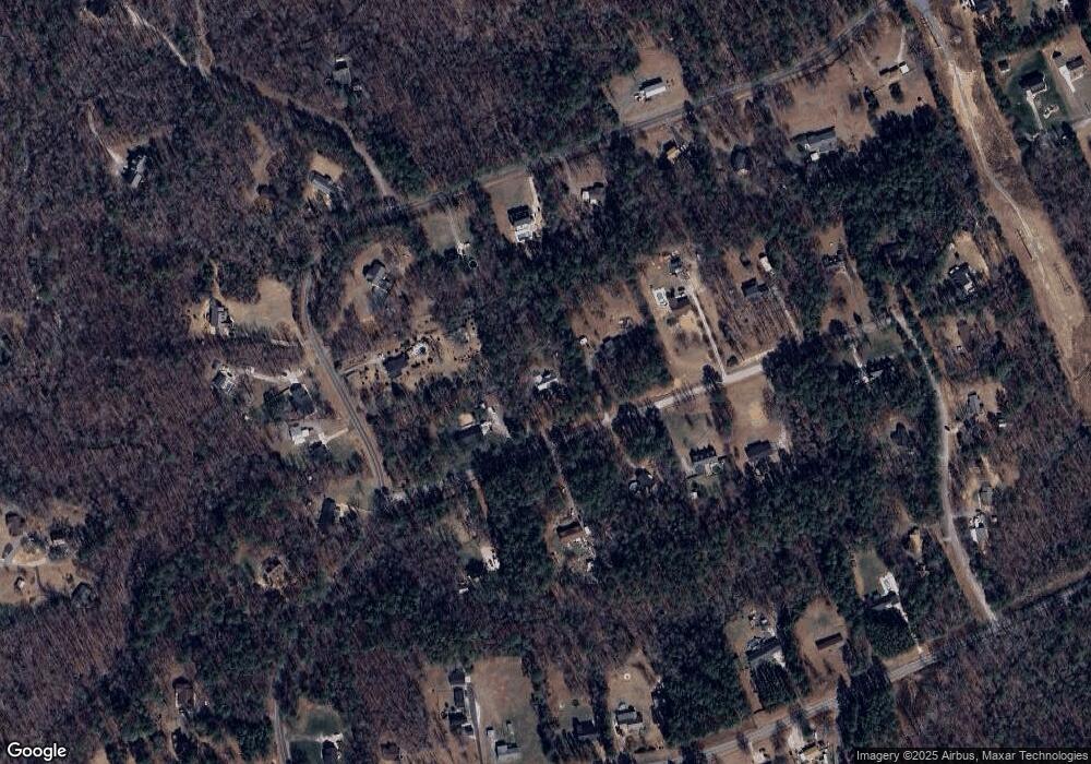
Map
Nearby Homes
- 530 Ole Simpson Place
- 5113 Cedar Valley
- 4350 Cureton Ferry Rd
- 0000 Tract #1A Roddey Rd
- Lot 44 Woodglenn Rd
- 3333 Harmony Rd
- 2033 Brer Rabbit Run
- TBD Railroad Rd
- 3617 Cornwell Ct
- 330 Skyview Dr
- Lot 6 Winter Rd Unit 6
- Lot 7 Winter Rd Unit 7
- lot 2 Winter Rd Unit 2
- Lot 3 Winter Rd Unit 3
- Lot 11 Winter Rd Unit 11
- 3812 Winter Rd Unit 5
- 3760 Winter Rd
- 185 Crosby Ln
- 3790 Rogers Cir
- 725 Lynville Ln
- 650 White Pine Rd
- 696 White Pine Rd
- 661 Rutledge Dr
- 679 Rutledge Dr
- 751 Rutledge Dr
- 640 White Pine Rd
- 659 White Pine Rd
- 643 Rutledge Dr
- 669 White Pine Rd
- 721 Rutledge Dr
- 649 White Pine Rd
- 693 White Pine Rd
- 693 White Pines Dr
- 630 White Pine Rd
- 639 White Pine Rd
- 650 Rutledge Dr
- 766 Rutledge Dr
- 750 Rutledge Dr
- 625 Rutledge Dr
- 810 Rutledge Dr
Your Personal Tour Guide
Ask me questions while you tour the home.