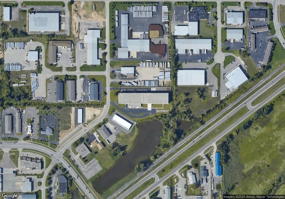
6600 Center Industrial Dr Georgetown Township, MI 49428
Estimated Value: $2,800,256
--
Bed
1
Bath
53,534
Sq Ft
$52/Sq Ft
Est. Value
About This Home
This home is located at 6600 Center Industrial Dr, Georgetown Township, MI 49428 and is currently estimated at $2,800,256, approximately $52 per square foot. 6600 Center Industrial Dr is a home located in Ottawa County with nearby schools including Rosewood Elementary School, Jenison Junior High School, and Jenison High School.
Ownership History
Date
Name
Owned For
Owner Type
Purchase Details
Closed on
Sep 11, 2020
Sold by
6600 Center Industrial Dr Llc
Bought by
Nsc Jenison Port Sheldon Llc
Current Estimated Value
Purchase Details
Closed on
Apr 16, 2019
Sold by
Everkept Storage Llc
Bought by
Center Industrial Dr Llc
Purchase Details
Closed on
Jul 19, 2016
Sold by
Joseph T Ryerson & Son Inc
Bought by
Everkept Properties Llc
Home Financials for this Owner
Home Financials are based on the most recent Mortgage that was taken out on this home.
Original Mortgage
$1,120,000
Interest Rate
3.54%
Mortgage Type
Commercial
Create a Home Valuation Report for This Property
The Home Valuation Report is an in-depth analysis detailing your home's value as well as a comparison with similar homes in the area
Home Values in the Area
Average Home Value in this Area
Purchase History
| Date | Buyer | Sale Price | Title Company |
|---|---|---|---|
| Nsc Jenison Port Sheldon Llc | -- | None Available | |
| Center Industrial Dr Llc | -- | None Available | |
| Everkept Properties Llc | -- | Attorney |
Source: Public Records
Mortgage History
| Date | Status | Borrower | Loan Amount |
|---|---|---|---|
| Previous Owner | Everkept Properties Llc | $1,120,000 |
Source: Public Records
Tax History Compared to Growth
Tax History
| Year | Tax Paid | Tax Assessment Tax Assessment Total Assessment is a certain percentage of the fair market value that is determined by local assessors to be the total taxable value of land and additions on the property. | Land | Improvement |
|---|---|---|---|---|
| 2025 | $49,732 | $1,932,200 | $0 | $0 |
| 2024 | $45,715 | $1,932,400 | $0 | $0 |
| 2023 | $43,598 | $1,836,400 | $0 | $0 |
| 2022 | $45,179 | $1,078,100 | $0 | $0 |
| 2021 | $42,984 | $943,100 | $0 | $0 |
| 2020 | $39,832 | $929,500 | $0 | $0 |
| 2019 | $40,004 | $853,600 | $0 | $0 |
| 2018 | $42,251 | $918,800 | $0 | $0 |
| 2017 | $35,287 | $751,600 | $0 | $0 |
| 2016 | $44,975 | $1,133,000 | $0 | $0 |
| 2015 | $43,398 | $1,100,000 | $0 | $0 |
| 2014 | $43,398 | $1,100,000 | $0 | $0 |
Source: Public Records
Map
Nearby Homes
- 6363 Eastridge Ct
- 6293 Eastridge Dr
- 2101 Rosewood St
- 2072 Oak Hollow Dr
- 6129 W Bay Ct
- 2323 Rosewood St
- 6905 Maple Ave
- 1520 Winifred St
- 7107 Westwood Dr
- 7165 Keystone Ct
- 1433 Winifred St
- 1519 Eagle Shore Ct Unit Lot 33
- 1481 Eagle Shore Ct
- 1496 Eagle Shore Ct Unit 13
- 1481 Eagle Shore Ct Unit 39
- 6724 28th Ave
- 6714 Cedar Grove W
- 5833 Nelson Dr
- 1451 Eagle Shore Ct
- 7405 Pinegrove Dr
- 6548 Center Industrial Dr
- 2141 Port Sheldon St
- 2206 Pine Ridge Dr
- 6069 Glen Eagle Highlands Dr
- 6073 Glen Eagle Highlands Dr
- 6681 18th Ave Unit O & P
- 2065 Port Sheldon St
- 6707 18th Ave Unit C
- 2036 Timberlane Dr
- 2046 Timberlane Dr
- 6709 18th Ave Unit B-A
- 2072 Timberlane Dr
- 1864 Pine Ridge Dr Unit D
- 1864 Pine Ridge Dr Unit A
- 1864 Pine Ridge Dr Unit B
- 1864 Pine Ridge Dr Unit C
- 2088 Timberlane Dr
- 6815 Valley View Ave
- 2104 Timberlane Dr
- 2026 Timberlane Dr