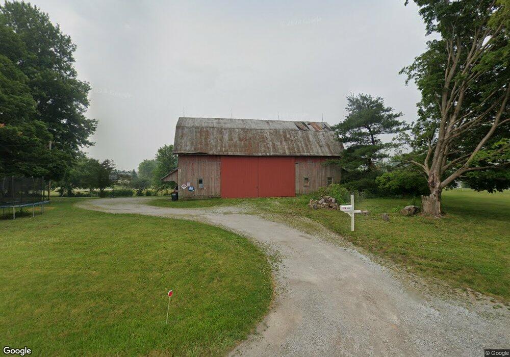
6600 E Us Highway 33 Churubusco, IN 46723
Estimated Value: $284,000 - $431,000
4
Beds
2
Baths
2,108
Sq Ft
$173/Sq Ft
Est. Value
About This Home
This home is located at 6600 E Us Highway 33, Churubusco, IN 46723 and is currently estimated at $363,940, approximately $172 per square foot. 6600 E Us Highway 33 is a home located in Whitley County with nearby schools including Churubusco Elementary School, Churubusco Junior/Senior High School, and Cornerstone Christian School.
Ownership History
Date
Name
Owned For
Owner Type
Purchase Details
Closed on
Apr 6, 2020
Sold by
Wineland Rebekah
Bought by
Slone Barbara
Current Estimated Value
Purchase Details
Closed on
Jul 31, 2019
Sold by
Hyndman Michael D and Hyndman Kari A
Bought by
Wineland Rebekah
Home Financials for this Owner
Home Financials are based on the most recent Mortgage that was taken out on this home.
Original Mortgage
$66,500
Interest Rate
3.8%
Mortgage Type
Construction
Create a Home Valuation Report for This Property
The Home Valuation Report is an in-depth analysis detailing your home's value as well as a comparison with similar homes in the area
Purchase History
| Date | Buyer | Sale Price | Title Company |
|---|---|---|---|
| Slone Barbara | $175,000 | -- | |
| Wineland Rebekah | $166,500 | Trademark Title Inc |
Source: Public Records
Mortgage History
| Date | Status | Borrower | Loan Amount |
|---|---|---|---|
| Previous Owner | Wineland Rebekah | $66,500 |
Source: Public Records
Tax History
| Year | Tax Paid | Tax Assessment Tax Assessment Total Assessment is a certain percentage of the fair market value that is determined by local assessors to be the total taxable value of land and additions on the property. | Land | Improvement |
|---|---|---|---|---|
| 2025 | $638 | $275,300 | $38,100 | $237,200 |
| 2024 | $638 | $247,400 | $38,100 | $209,300 |
| 2023 | $1,651 | $224,000 | $36,400 | $187,600 |
| 2022 | $1,628 | $212,300 | $32,400 | $179,900 |
| 2021 | $1,335 | $175,100 | $29,200 | $145,900 |
| 2020 | $930 | $131,900 | $21,400 | $110,500 |
| 2019 | $794 | $111,300 | $21,400 | $89,900 |
| 2018 | $814 | $105,500 | $21,400 | $84,100 |
| 2017 | $638 | $101,400 | $21,400 | $80,000 |
| 2016 | $593 | $100,900 | $21,400 | $79,500 |
| 2014 | $496 | $97,100 | $21,400 | $75,700 |
Source: Public Records
Map
Nearby Homes
- TBD E 600 S
- 6147 Peoria Dr
- 4786 Wea Way
- 4745 Potawatomi Ave
- 6134 Peoria Dr
- 6173 Peoria Dr
- 6096 Peoria Dr
- 6041 Peoria Dr
- 6058 Peoria Dr
- 4751 Shawnee Ln
- 8125 E U S Hwy 33 Hwy
- 4835 Sheldon Rd
- TBD McDuffee (Tracts 7&8) Rd
- 218 Clingerman Ave
- TBD E Anderson Rd
- 4880 N 450 E
- 114 E Tulley St
- TBD McDuffee (Tract 5) Rd
- TBD McDuffee - (Tract 3) Rd
- 217 E Whitley St
- 6600 U S 33
- 6621 Raspberry Ct
- 6621 Raspberry Ct Unit 10
- 6620 Raspberry Ct
- 6300 N 650 E
- 6290 N 650 E
- 6320 N 650 E
- 6264 N 650 E
- 6325 N 650 E
- 5949 Raspberry Ln
- 6006 Raspberry Ln
- 6196 N 650 E
- 5952 Raspberry Ln
- 6170 N 650 E
- 6480 N 650 E
- 6480 N 650 E
- 5898 Raspberry Ln
- 6850 E Us Highway 33
- 6483 N 650 E
- 6134 N 650 E