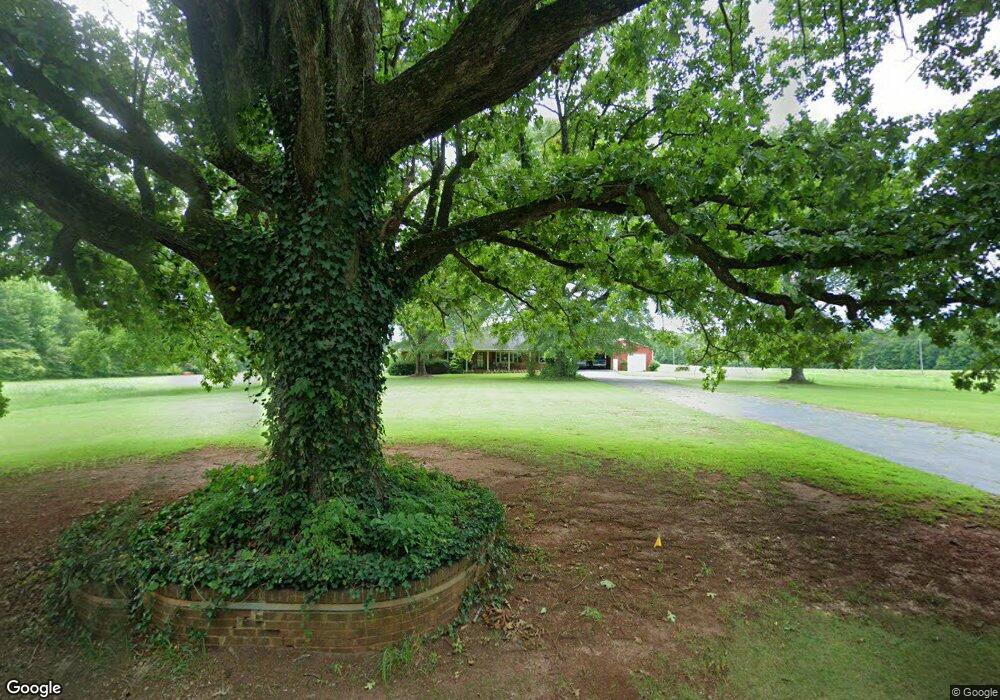
6600 Highway 215 Pauline, SC 29374
Estimated Value: $256,000 - $463,067
5
Beds
2
Baths
1,820
Sq Ft
$179/Sq Ft
Est. Value
About This Home
This home is located at 6600 Highway 215, Pauline, SC 29374 and is currently estimated at $326,356, approximately $179 per square foot. 6600 Highway 215 is a home with nearby schools including Dorman High School Freshman Campus and Dorman High School.
Ownership History
Date
Name
Owned For
Owner Type
Purchase Details
Closed on
Feb 14, 2025
Sold by
Spencer And Sheilia Atchley Family Trust and Atchley Spencer
Bought by
Smith Logan Howell
Current Estimated Value
Purchase Details
Closed on
Feb 10, 2017
Sold by
Atchley Spencer and Atchley Sheila
Bought by
Atchley Spencer and Atchley Sheila
Purchase Details
Closed on
Jul 15, 2016
Sold by
Atchley Spencer and Atchley Sheila
Bought by
Atchley Spencer and Atchley Sheila
Purchase Details
Closed on
Oct 23, 2006
Sold by
Atchley Spencer and Atchley Sheila
Bought by
Atchley Phillip and Atchley Joan
Create a Home Valuation Report for This Property
The Home Valuation Report is an in-depth analysis detailing your home's value as well as a comparison with similar homes in the area
Home Values in the Area
Average Home Value in this Area
Purchase History
| Date | Buyer | Sale Price | Title Company |
|---|---|---|---|
| Smith Logan Howell | -- | None Listed On Document | |
| Smith Alan D | -- | None Listed On Document | |
| Atchley Spencer | -- | None Available | |
| Atchley Spencer | -- | Attorney | |
| Atchley Phillip | -- | None Available |
Source: Public Records
Tax History Compared to Growth
Tax History
| Year | Tax Paid | Tax Assessment Tax Assessment Total Assessment is a certain percentage of the fair market value that is determined by local assessors to be the total taxable value of land and additions on the property. | Land | Improvement |
|---|---|---|---|---|
| 2025 | $592 | $5,565 | $522 | $5,043 |
| 2024 | $592 | $5,581 | $532 | $5,049 |
| 2023 | $592 | $5,581 | $532 | $5,049 |
| 2022 | $514 | $4,865 | $473 | $4,392 |
| 2021 | $632 | $5,196 | $472 | $4,724 |
| 2020 | $618 | $5,196 | $472 | $4,724 |
| 2019 | $618 | $5,196 | $472 | $4,724 |
| 2018 | $594 | $5,127 | $471 | $4,656 |
| 2017 | $508 | $4,529 | $421 | $4,108 |
| 2016 | $507 | $4,531 | $423 | $4,108 |
| 2015 | $500 | $4,531 | $423 | $4,108 |
| 2014 | $552 | $4,531 | $423 | $4,108 |
Source: Public Records
Map
Nearby Homes
- 6509 Highway 215
- 0 Glenn Springs Rd Unit 24690865
- 0 Glenn Springs Rd Unit 1568706
- 0 Glenn Springs Rd Unit SPN328505
- 4065 Glenn Springs Rd
- 4937 Buffalo West Springs Hwy
- 5455 Highway 215
- 5209 S Carolina 215
- 2019 State Road S-42-90
- 2015 State Road S-42-90
- 2109 State Road S-42-90
- 4249 Buffalo-West Springs Hwy
- 00 State Road S-42-236
- 6397 Highway 56
- 149 Davy Crockett Trail
- 319 Gwinn Mill Rd
- 1801 State Road S-42-90
- 735 Gwinn Mill Rd
- 325 Gwinn Mill Rd
- 220 Fincher Rd
- 6603 Highway 215
- 6604 Highway 215
- 6511 Highway 215
- 6605 Highway 215
- 107 Thompson Rd
- 6432 Highway 215
- 105 West Rd
- 6640 Highway 215
- 106 West Rd
- 1120 Stagecoach Rd
- 121 Derrick Rd
- 1119 Stagecoach Rd
- 113 Derrick Rd
- 109 Derrick Rd
- 6800 Highway 215
- 107 Derrick Rd
- 6414 Highway 215
- 105 Derrick Rd Unit 107
- 245 Derrick Rd
- 925 Stagecoach Rd