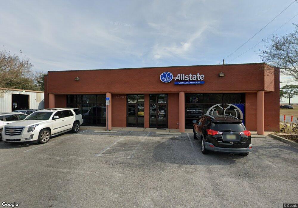
6600 N 9th Ave Unit 1950 SF Pensacola, FL 32504
Estimated Value: $483,177
--
Bed
1
Bath
1,950
Sq Ft
$248/Sq Ft
Est. Value
About This Home
This home is located at 6600 N 9th Ave Unit 1950 SF, Pensacola, FL 32504 and is currently estimated at $483,177, approximately $247 per square foot. 6600 N 9th Ave Unit 1950 SF is a home located in Escambia County with nearby schools including Scenic Heights Elementary School, Ferry Pass Middle School, and Booker T. Washington High School.
Ownership History
Date
Name
Owned For
Owner Type
Purchase Details
Closed on
Jan 27, 2023
Sold by
Westmark & Associates Inc
Bought by
Virgilio Ventures Llc
Current Estimated Value
Home Financials for this Owner
Home Financials are based on the most recent Mortgage that was taken out on this home.
Original Mortgage
$409,700
Outstanding Balance
$390,419
Interest Rate
6.27%
Mortgage Type
New Conventional
Estimated Equity
$92,758
Purchase Details
Closed on
Mar 1, 2004
Sold by
Mcleod Karen W and Westmark Kaye W
Bought by
Westmark & Associates Inc
Create a Home Valuation Report for This Property
The Home Valuation Report is an in-depth analysis detailing your home's value as well as a comparison with similar homes in the area
Home Values in the Area
Average Home Value in this Area
Purchase History
| Date | Buyer | Sale Price | Title Company |
|---|---|---|---|
| Virgilio Ventures Llc | $450,000 | Surety Land & Title | |
| Westmark & Associates Inc | $180,000 | -- |
Source: Public Records
Mortgage History
| Date | Status | Borrower | Loan Amount |
|---|---|---|---|
| Open | Virgilio Ventures Llc | $409,700 |
Source: Public Records
Tax History Compared to Growth
Tax History
| Year | Tax Paid | Tax Assessment Tax Assessment Total Assessment is a certain percentage of the fair market value that is determined by local assessors to be the total taxable value of land and additions on the property. | Land | Improvement |
|---|---|---|---|---|
| 2024 | $7,082 | $419,519 | $131,840 | $287,679 |
| 2023 | $7,082 | $404,466 | $0 | $0 |
| 2022 | $6,488 | $369,731 | $115,200 | $254,531 |
| 2021 | $6,074 | $338,895 | $0 | $0 |
| 2020 | $5,025 | $279,921 | $0 | $0 |
| 2019 | $4,778 | $271,828 | $0 | $0 |
| 2018 | $4,361 | $235,885 | $0 | $0 |
| 2017 | $4,338 | $230,585 | $0 | $0 |
| 2016 | $4,290 | $224,803 | $0 | $0 |
| 2015 | $4,198 | $216,903 | $0 | $0 |
| 2014 | $4,201 | $215,208 | $0 | $0 |
Source: Public Records
Map
Nearby Homes
- 2550 E Burgess Rd
- 6148 The Oaks Ln Unit B
- 6120 The Oaks Ln
- 2857 Helen St
- 6477 Tippin Ave
- 6412 Concord Way
- 6413 Concord Way
- 2838 Villager Cir
- 3275 Adrian Rd
- 7106 Tippin Ave
- 2345 Teate Ave
- 2811 Langley Ave Unit 208
- 2813 Langley Ave Unit D108
- 2813 Langley Ave Unit G114
- 1208 Tamara Dr
- 6273 Kirsten Dr
- 7111 Mcadam Ct
- 6203 Maybelle Dr
- 6521 Schwab Dr
- 1259 Tamara Dr
- 6600 N 9th Ave Unit 4
- 6600 N 9th Ave Unit 3
- 6600 N 9th Ave Unit 2
- 6600 N 9th Ave
- 6600 N 9th Ave Unit 3900 SF
- 6600 N 9th Ave
- 6600 N 9th Ave Unit 1000 SF
- 6757 N 9th Ave
- 6704 N 9th Ave
- 6706 N 9th Ave Unit E-1
- 6706 N 9th Ave Unit E
- 5820 Mcallister Ave
- 6770 N 9th Ave
- 2560 E Burgess Rd
- 2556 E Burgess Rd
- 0 Helen St
- 2500 E Burgess Rd
- 5814 Lois Ave
- 5812 Lois Ave
- 5810 Lois Ave