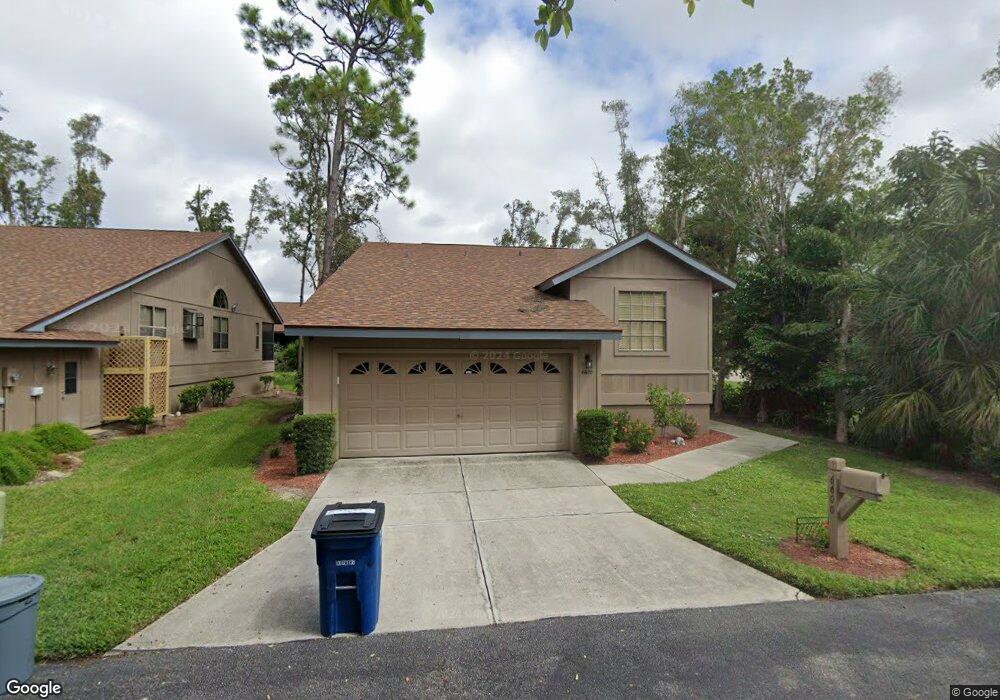
6600 Seawind Dr Unit 147 Fort Myers, FL 33908
Estimated Value: $245,073 - $342,000
3
Beds
2
Baths
1,668
Sq Ft
$171/Sq Ft
Est. Value
About This Home
This home is located at 6600 Seawind Dr Unit 147, Fort Myers, FL 33908 and is currently estimated at $286,018, approximately $171 per square foot. 6600 Seawind Dr Unit 147 is a home located in Lee County with nearby schools including Allen Park Elementary School, Edison Park Creative & Expressive Arts School, and Bonita Springs Elementary School.
Ownership History
Date
Name
Owned For
Owner Type
Purchase Details
Closed on
Mar 14, 1997
Sold by
Lane David E and Lane Athena M
Bought by
Gaskins William A and Gaskins Mary E
Current Estimated Value
Home Financials for this Owner
Home Financials are based on the most recent Mortgage that was taken out on this home.
Original Mortgage
$96,800
Outstanding Balance
$11,885
Interest Rate
7.88%
Estimated Equity
$274,133
Create a Home Valuation Report for This Property
The Home Valuation Report is an in-depth analysis detailing your home's value as well as a comparison with similar homes in the area
Home Values in the Area
Average Home Value in this Area
Purchase History
| Date | Buyer | Sale Price | Title Company |
|---|---|---|---|
| Gaskins William A | $101,900 | -- |
Source: Public Records
Mortgage History
| Date | Status | Borrower | Loan Amount |
|---|---|---|---|
| Open | Gaskins William A | $96,800 |
Source: Public Records
Tax History Compared to Growth
Tax History
| Year | Tax Paid | Tax Assessment Tax Assessment Total Assessment is a certain percentage of the fair market value that is determined by local assessors to be the total taxable value of land and additions on the property. | Land | Improvement |
|---|---|---|---|---|
| 2025 | $1,019 | $95,676 | -- | -- |
| 2024 | $985 | $92,980 | -- | -- |
| 2023 | $985 | $90,272 | $0 | $0 |
| 2022 | $1,090 | $87,643 | $0 | $0 |
| 2021 | $1,027 | $145,475 | $37,000 | $108,475 |
| 2020 | $1,024 | $83,915 | $0 | $0 |
| 2019 | $991 | $82,028 | $0 | $0 |
| 2018 | $991 | $80,499 | $0 | $0 |
| 2017 | $978 | $78,843 | $0 | $0 |
| 2016 | $958 | $137,219 | $33,450 | $103,769 |
| 2015 | $964 | $120,401 | $28,500 | $91,901 |
| 2014 | $944 | $98,403 | $25,000 | $73,403 |
| 2013 | -- | $93,206 | $27,500 | $65,706 |
Source: Public Records
Map
Nearby Homes
- 6621 Rolland Ct
- 17703 Heron Ln
- 17630 Heron Ln
- 17585 Taylor Dr
- 6057 Birnam Wood Ln
- 6048 Birnam Wood Ln
- 17651 Marco Island Ln
- 6049 Perthshire Ln
- 17455 Silver Fox Dr Unit C
- 17456 Overhill Dr Unit C
- 17593 Moorfield Dr
- 17754 Grande Bayou Ct
- 6024 Perthshire Ln
- 17577 Moorfield Dr
- 17452 Silver Fox Dr Unit D
- 17753 Grande Bayou Ct
- 17456 Woodland Trace Unit E
- 6293 Park Rd
- 17452 Overhill Dr Unit B
- 6118 Park Rd
- 6610 Seawind Dr Unit 148
- 6611 Rolland Ct
- 17612 Taylor Dr Unit 15
- 6601 Rolland Ct
- 6630 Seawind Dr
- 17628 Taylor Dr
- 6640 Seawind Dr
- 6631 Rolland Ct
- 6641 Rolland Ct
- 17636 Taylor Dr
- 6650 Seawind Dr Unit 152
- 6600 Rolland Ct
- 17584 Taylor Dr
- 6061 Swords Way
- 6610 Rolland Ct
- 6651 Rolland Ct Unit 145
- 6630 Rolland Ct Unit 136
- 6060 Birnam Wood Ln
- 17701 Heron Ln Unit 164
- 17644 Taylor Dr